
The outlier, looking towards Carn Galva.
Image credit: A. Brookes (18.6.2011)

The outlier, looking towards Carn Galva.

The cut-down stump of the outlier.

Looking up towards Ding Dong mine.

The Four Parish Stone. The cross is at the far end.

From the SE, a Cornish mini-Isandlwana.


Looking SW, towards Carn Galva (where the rain came from).

This is one of those great Cornish stones that presents a completely different aspect from each of its faces.

Remains of ancient granite hedge, crossing the headland close to the barrow.

Camel Rock, a little east of the barrow on Trewavas Cliff. Looking towards The Lizard.

Inside the chamber, showing the supporting side slabs under the heavy central roofing slab.

Showing the thickness of the central slab.


Looking seaward. Note ancient drystone hedge base in front and beyond to the left.

The capstones of the chamber protrude through the vegetation. Looking west.

The increasingly overgrown entrance to the fogou.

Visible stonework inside the blocked fogou.

Some brighter skies towards the end of our visit.

The entrance to the partially cleared House 1.

The mysterious stone structure in the round room of House 3B.

The curving entrance passage of House 4.

Small hearth in the round room of House 6.

The water channel in the courtyard of House 6.

The largely uncleared House 8, at the eastern corner of the site.

House 7, seen framed by the jambs of its later, northern, entrance.

House 7, seen through its original eastern entrance.

William Copeland Borlase, from the info board at the Ballowall barrow.


The remains of the north-eastern cist, with the capstone now missing.

Inside the southern cist. Spider-senses tingling...

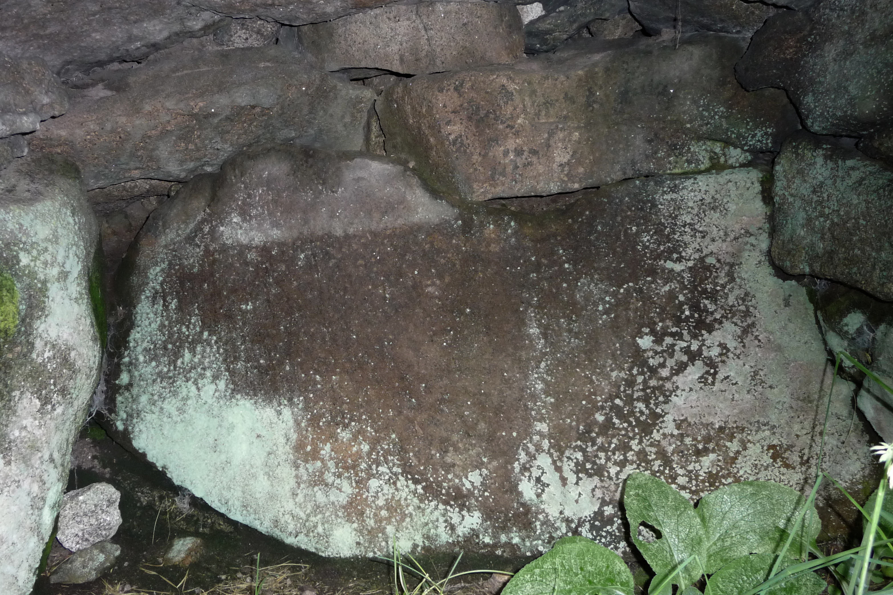
Stonework at the far end of the entrance grave.


General view, looking SE inland to show how Bartinne Hill (with enclosure and cairns, left) and Chapel Carn Brea Hill (with entrance grave and cairns) are prominent on the skyline.

The remains of the early christian St Helen’s Chapel can be seen in the middle of the field below the rocky headland.

Seen from the south, the ramparts have been obliterated by the cultivation terraces and houses built on the neck.

The promontory, seen from neighbouring Kenidjack Castle. The now-destroyed rampart crossed the low point of the “neck”, roughly where the white house can be seen. The Brisons are over to the right.

Zoom on Cape Cornwall headland, from Kenidjack Castle. Longships lighthouse is visible on the far left.

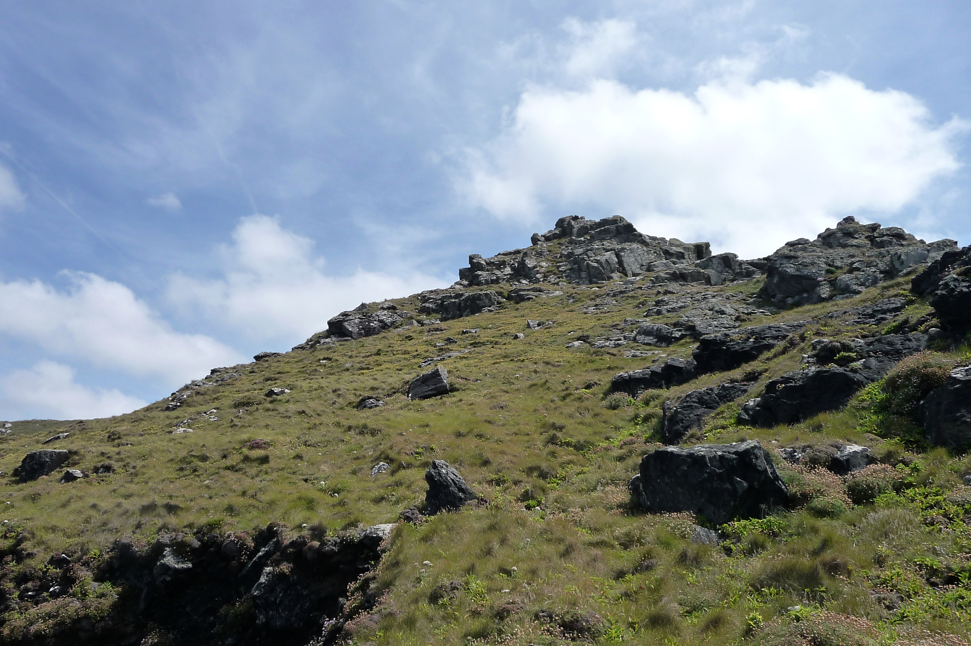
Looking landward from the western tip of the fort interior.
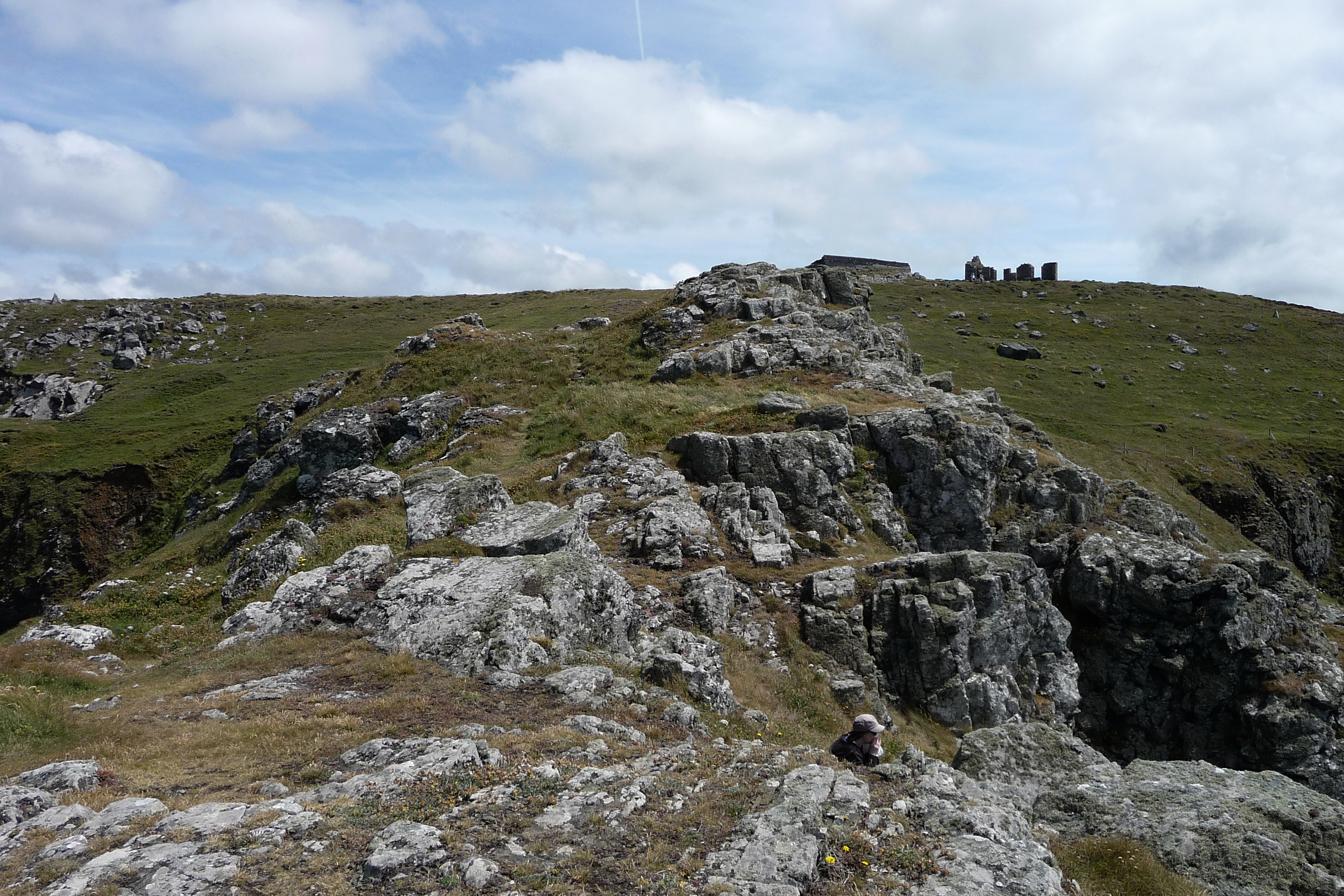

Close-up of the stonework of the inner northern rampart.

At their northern end, the ramparts end abruptly as the cliff drops away to North Zawn.
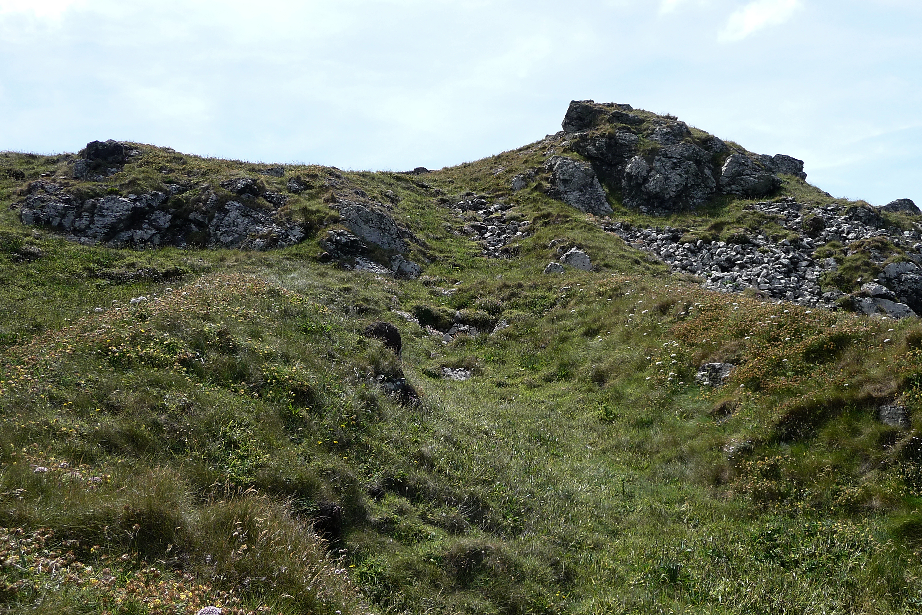
Looking south along the ditch up towards the rocky “spine” of the fort.

The three northern ramparts from above. The stones of the inner rampart are disturbed and have fanned out.
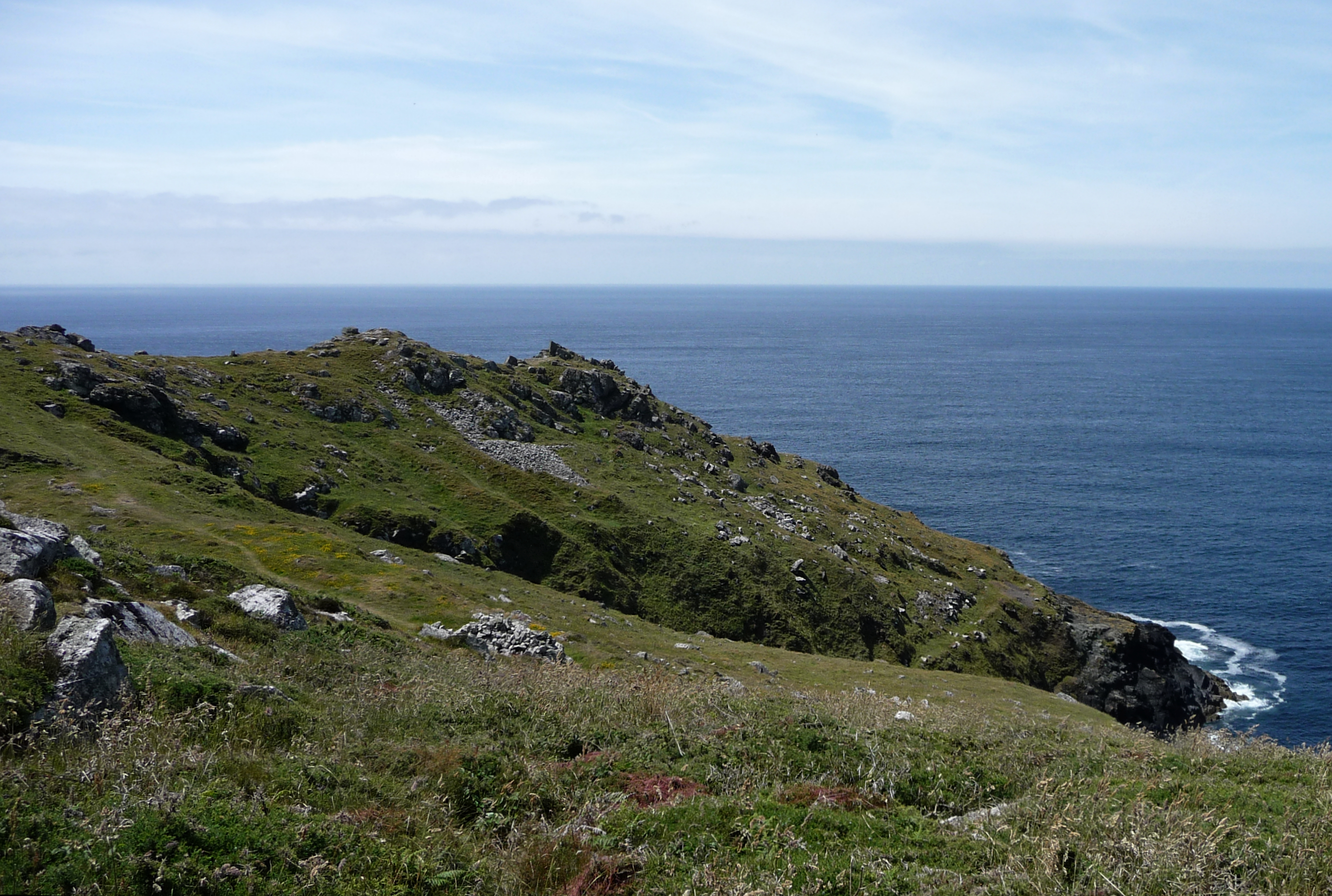
Approaching off the coast path, the three lines of ramparts on the north side are clearly visible, including their sudden cliff-edge termination. The outer and middle ramparts are covered in vegetation, while the stonework of the inner rampart is exposed.

The disturbed top of the barrow. A shallow depression marks digging into the mound. Bartinne Hill can be seen on the skyline to the right of centre, away to the south.