Grainy shot taken through the train window as it was getting dark, but showing how prominent these skyline cairns are. Gallow Hill North is far left, Gallow Hill is to the right and Sordale Hill chambered cairn is far right.
St. John’s Point cliff fort seen from Dunnet Head to the west.
What’s left of Easter Head cairn, buried beneath seating area/toposcope.
The prominent Easter Head, with wrecked cairn on top, seen across Long Loch to the south.
Dubious shot taken through a begrimed train window, between Kinbrace and Forsinard on the Thurso line. Ben Griam Beg is on the right, Ben Griam Mor to the left. if you squint, you can see a herd of red deer in the middle ground.
The deep V of Gleann Meinich, between Creag Ghlas and Cnap na Feola.
Landscape context for the astonishing scenery surrounding the site, seen from Fionn Bheinn to the ESE. The settlement nestles beneath Slioch.
Approx. site of the cist. Seen from Allt Achadh na Sine, en-route to Fionn Bheinn.
Looking towards the sunlit settlement from the Attadale valley.
The main settlement and various scattered hut circles are located on the illuminated flanks of the hillside above Lochcarron village. The shapely mountain looming in the distance is (I think) Beinn Bhan. Seen from Attadale.
Arthur’s Seat seen from the neighbouring Iron Age site of Edinburgh Castle.
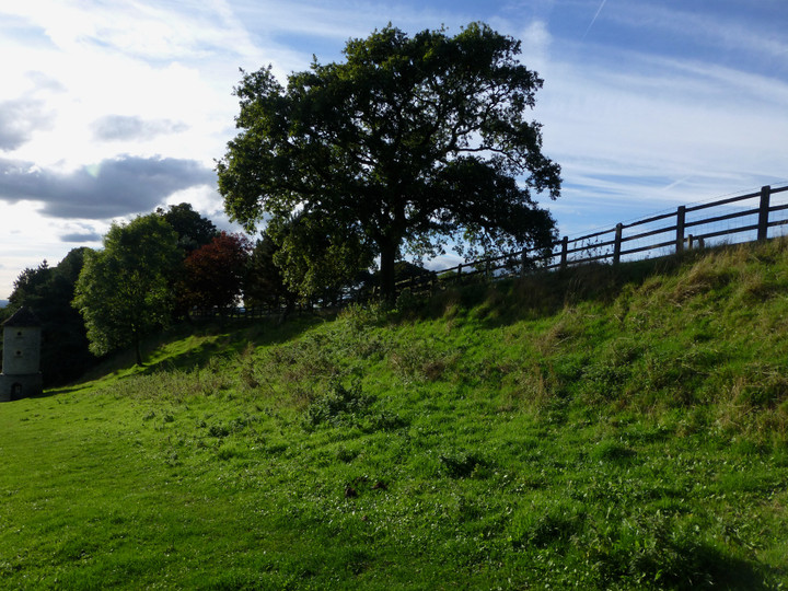
The southern rampart. The tower is a recent addition, built to provide roosting for owls and swallows.
Looking west from the fort across to the Severn/Hafren, with Wales beyond. Pen-y-Fan in the Brecon Beacons can be seen from here.
The curve of the rampart from its northwestern end.
The northwestern end of the single rampart. Any ditch is long filled.
Looking west across the Severn/Hafren. The distant Brecon Beacons and Black Mountains are visible from the barrow.
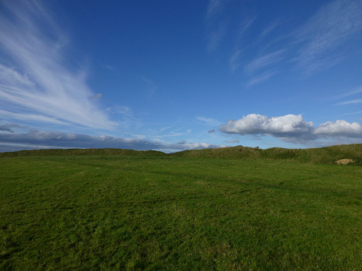
Looking into the low autumn sun from the north end of the barrow.
The excavation scoop at the north end of the barrow.
Brackenbury Ditches hillfort is centre skyline, above Wotton-under-Edge. The viewpoint is Hawkesbury Knoll, next to the long barrow.
From the east, looking towards the Somerset Monument.
Limestone protruding from the southwestern end of the mound.
Shorn now of the tree canopy of the earlier images.
My favourite stone in the circle, patterned like a trainer-print in alabaster.
I like the fact that different types of stones have been used to form the circle, including this pebbly conglomerate.
General view of the circle looking northwest.
This stone on the southern side has the look of a natural boulder incorporated into the circle. Looking east towards the Cribarth sleeping giant.
Low stones of the eastern arc, looking towards the mountains of Y Mynydd Du.
With fully extended walking pole for scale.
Looking east towards the sleeping giant of Cribarth.
Looking NNE towards Cefn Mawr. The positioning at the southern end of the ridge means that views to the north and Y Mynydd Du are blocked off.