
The large but little-known cairn appears to be intact.
Image credit: A. Brookes (10.7.2014)

The large but little-known cairn appears to be intact.

Looking down on the substantial round cairn and Afon Tarell. 2,030ft Y Gyrn is the relatively modest mountain backdrop.

Another view of the clearance(?) cairn upslope, looking south towards Fan Fawr.

Cairn upslope from the larger BA site. CPAT identify this as post-medieval clearance – it’s pretty substantial and mostly comprised of smallish stones, could it be earlier? Looking down Glyn Tarell.

The eastern slopes below the fort/enclosure.

The prominent hilltop from Carnkie to the south. The enclosure/hillfort stretches east (right) from the monument.


Rather more overgrown than previous pictures.

A long overdue visit to this circle. Looking east towards Canmenellis (topped with a Bronze Age cairn).

Note remains of original dry-stone construction around the base of the cairn.


Square slab on the side of the mound, looking less like clearance than the larger boulders round the other side.


Quite a bit of field clearance has been dumped on the side of the cairn.


One of the rock basins on Giant’s Rock, worn through at its base.
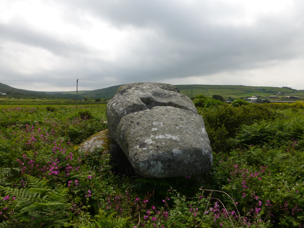

The Logan Stone, Zennor Hill.


NW barrow, the striking rock outcrops of Zennor Hill on the far right.

The NW barrow, with the triangular silhouette of Zennor Quoit beyond, and Sperris Croft over to the right.

The NW barrow, looking westwards towards Carn Galva.

The SE barrow, with Zennor Quoit visible beyond.

The substantial SE barrow, looking west towards the highest part of the West Penwith moors.
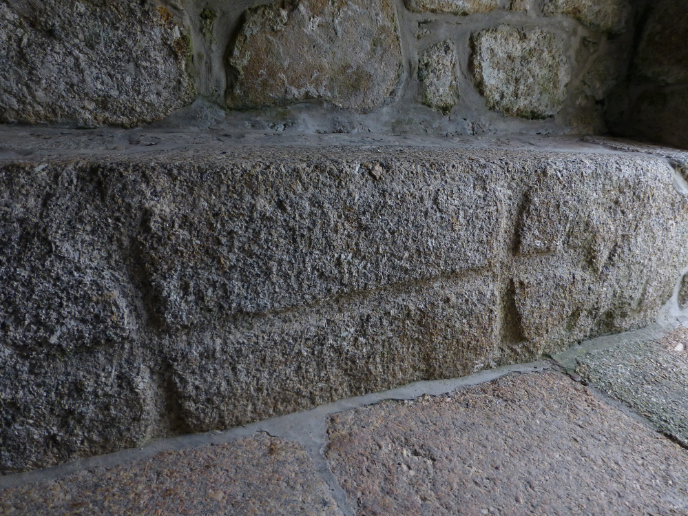
The inscribed stone in the church porch.


The innermost part of the headland/fort is an amazing rock-scape.


The rocky tip of the headland, with the Logan Rock slightly right of centre.

The entrance through the inner defences, still faced with the original stonework.

The ditch of the innermost line of defences, looking west towards Porthcurno and the Minack theatre.

The innermost part of the fort. The powerful rampart can be seen below the rock outcrops.

The central defences, consisting of more banks and ditches, on a smaller scale than the huge outer earthwork.

The enormous outermost rampart, several metres high in places.

Landscape context for the coastal position of the well.

St. Levan’s Well, with Porth Chapel beyond.

Land- and seascape context from the SE, seen from Ardensawah Cliff.

The blink-and-you’ll-miss-it Higher Bosistow round barrow. Almost gone, but a lovely setting.


Looking out of the entrance. The low mound of Higher Bosistow round barrow is indicated.

One of the two stones flanking the entrance. The other has fallen. The boulder shown in Hamish’s picture can be seen behind.

On the rampart, looking across Nanjizal to Carn Boel (confusingly similar names). The white buildings of the Land’s End theme park can be seen in the distance.

Approaching the fort. The single rampart can be clearly seen, sloping steeply from the large stone at the entrance.