
Substantial foundations to this sub-circular building in the settlement.
Image credit: A. Brookes (19.7.2014)

Substantial foundations to this sub-circular building in the settlement.



Sometimes the word “cairn” on a map doesn’t do justice to what you find on site.

Postie’s boot provides scale for the central slab.

The central slab, probably the remains of a cist.

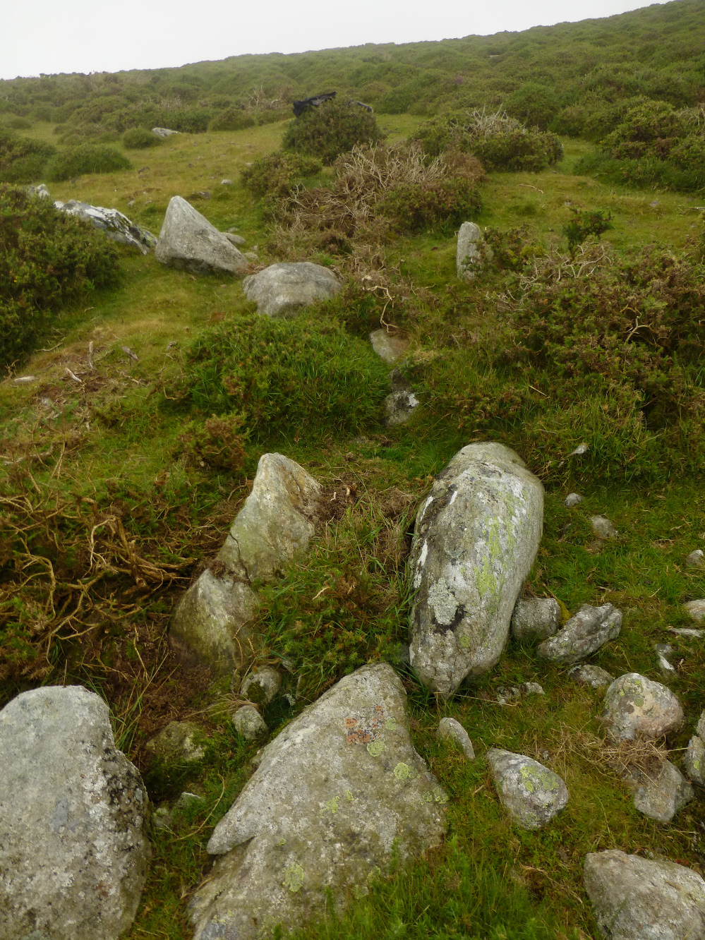
The most prominent stones in the kerb.


Even a day of no visibility, this excellent cairn is well worth a visit. Could do with a trim though.


Northern rampart, looking west towards Carmarthenshire.

The northern rampart, looking towards the Black Mountains.

What appears to be some small quarrying damage to the western rampart.


The fort boasts far-reaching views in all directions. Looking WSW, with the mountains of Y Mynydd Du far left skyline.

Looking across the southwestern rampart towards the Brecon Beacons and Fan Fawr.


Twyn y Gaer from Mynydd Illtyd to the southwest.

Fan Frynych from Daudraeth Illtyd Nature Reserve to the north. The cairn is at the near end of the summit ridge, on the point that looks highest from here, through a trick of perspective.

Landscape context from Fan Frynych to the northwest.

The valley location of the site is indicated (approx). Seen from the slopes of Fan Frynych.

The views from the cairn go on forever, into Mid-Wales to the Radnor Forest mountains.

Possible cist or simply accidental arrangement of exposed stones in the mound?

Another view of the probable original kerb, foreground.

Probable kerb marks the extent of the original cairn, left and foreground.


Pen y Fan and Corn Du beyond, topped with intervisible Bronze Age cairns.

The beautifully located cairn, the much larger footprint beneath the modern stone pile. Black Mountains can be seen far right skyline.

Narrow paths criss-cross the site.

Elevated view of the site. Pen y Fan and Corn Du dominate the whole area.

The stream that bisects the site, providing a fresh water supply.

General view of the site. The bracken covered features are stone-built banks, either from the prehistoric settlement or the later medieval overlay.

Fragmentary structural remains within the settlement, possibly one of the hut circles.

The track that leads to the settlement, with the cliffs of Craig Cerrig-gleisiad providing shelter to the site.


Some larger bits of stone protrude through the grass on top of the cairn.

Looking west towards the summit of Craig Cerrig-gleisiad.


