


Yr Eifl on far right skyline.


The tomb and the enormous slab next to it.

Brooding above the gorse, from the southeast.


The northern defences, looking towards Garn Boduan, Yr Eifl and the hazed-out mountains of Snowdonia.

Looking south towards Porth Neigwl/Hell’s Mouth with Abersoch and Cilan to the left, and Mynydd Rhiw to the right.

The “citadel”, the rocky summit outcrop on the west of the fort.

Bronze Age cairn on the rocky outcrops south of the summit, looking towards Yr Eifl.

Rampart above the steep southwestern slopes of the hill.

Amazingly well-preserved buildings inside the fort.
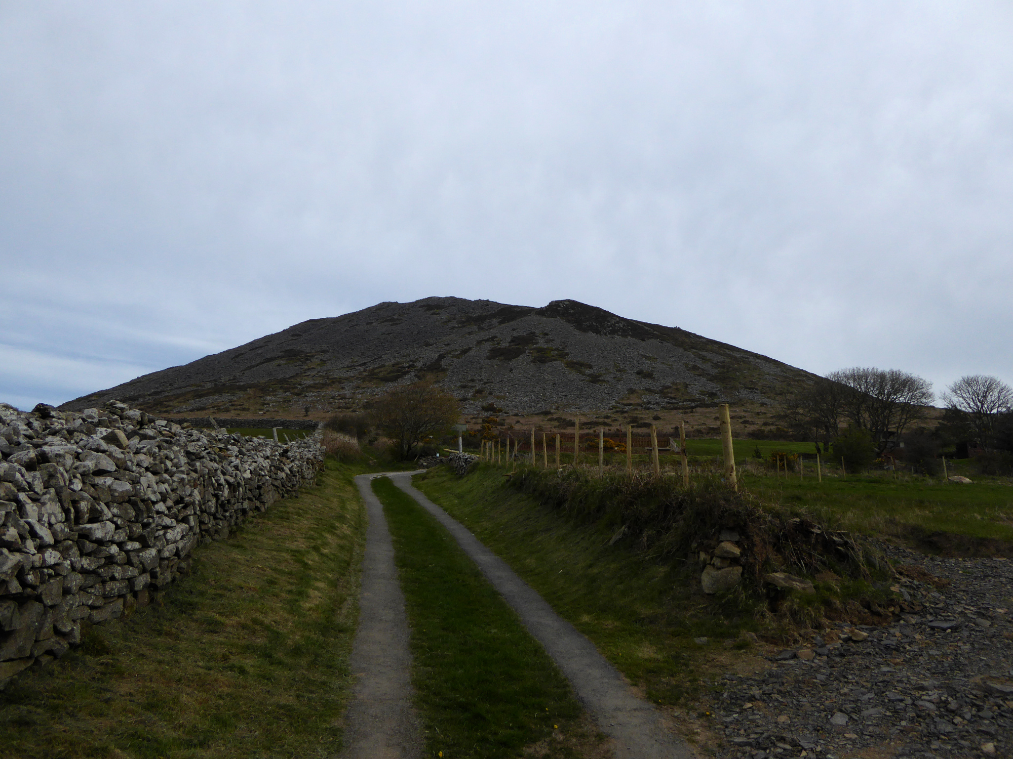

Looking towards the promontory across Porth Dinllaen.

To the east the promontory shelters the wide harbour of Porth Dinllaen. Yr Eifl is the wonderful backdrop.

Looking landwards across what would have been the fort interior but is now a golf course, towards the unmistakable Carn Fadrun. Garn Boduan is just disappearing off shot on the far left.

The long promontory (“trwyn”) protected by the ramparts.
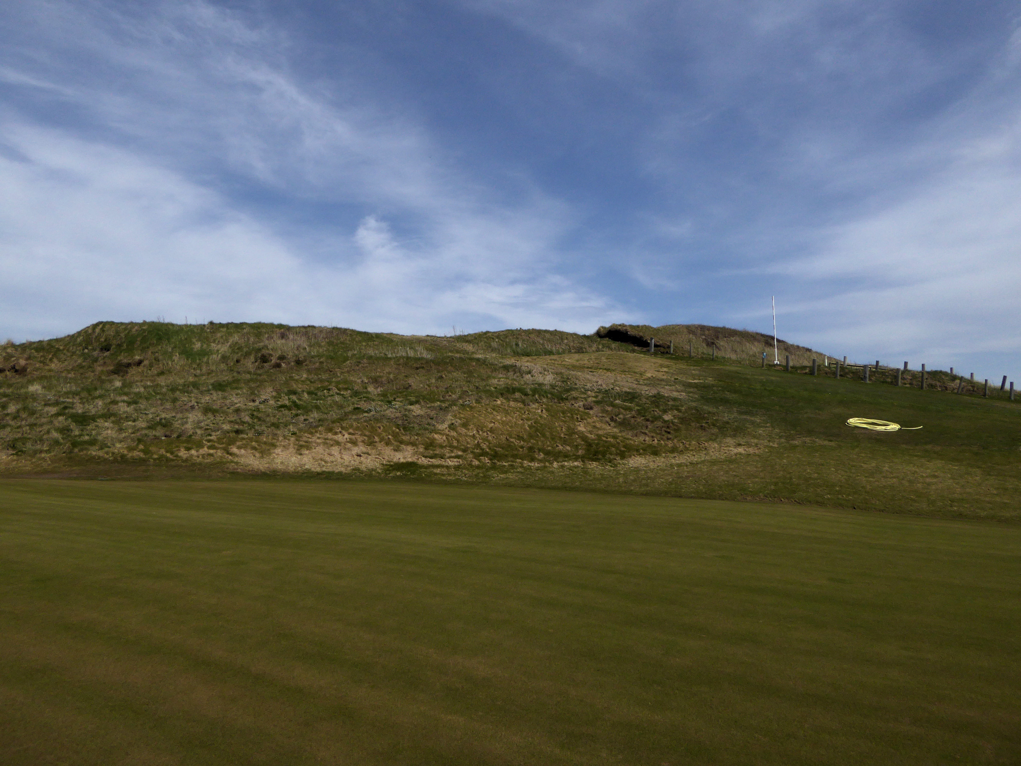

The fort commands extensive views southwest along the coastline.

Outer rampart in the foreground, inner rampart beyond (behind the parked cars).


The long promontory of Trwyn Porth Dinllaen stretches out on the left, with the triple peaks of Yr Eifl rising beyond. Far right is Garn Boduan hillfort.

Carn Fadrun utterly dominates the surrounding countryside. Seen here rising above the village of Tudweiliog, from the northwest.

Looking out to sea, from the south.

The rampart at the neck of the promontory from the north. The boulders below are a testament to the coastal erosion affecting the site.

The northern side of the promontory falls away to crumbling cliffs, making it hard to know how much has been lost to the waves.

Looking down on Porth Iago from the top of the grassy rampart. The distant hill is Mynydd Anelog that we rounded a couple of hours earlier.

The rampart appears to be the straight feature running diagonally directly down the side of the promontory, with a later wiggly field boundary over the top.

A later, thin earthwork overlays the broader line of the rampart.

From the southeast. Surfer dude provides scale.

The promontory fort forms the north side of the sheltered cove of Porth Iago.

Looking southwest over the site to Pen y Cil and Mynydd y Gwddel. On a clear days the views are astonishing, taking in Cadair Idris (extreme left skyline) and all the way across Bae Ceredigion to the distant Mynydd Preseli in Pembrokeshire (out of shot far right).

Looking towards Ynys Enlli/Bardsey from the small settlement site.

Poorly preserved hut circle, looking east.

The hillside to the east is called Mynydd y Gwddel (“Hill of the Irishman”), which suggests early Christian visits or even earlier trade links.

Although there’s little or nothing to suggest it was put up by people, it’s also a very oddly upright stone for a wholly natural outcrop.


Maen Melyn points the way towards Ynys Enlli (Island of the currents).
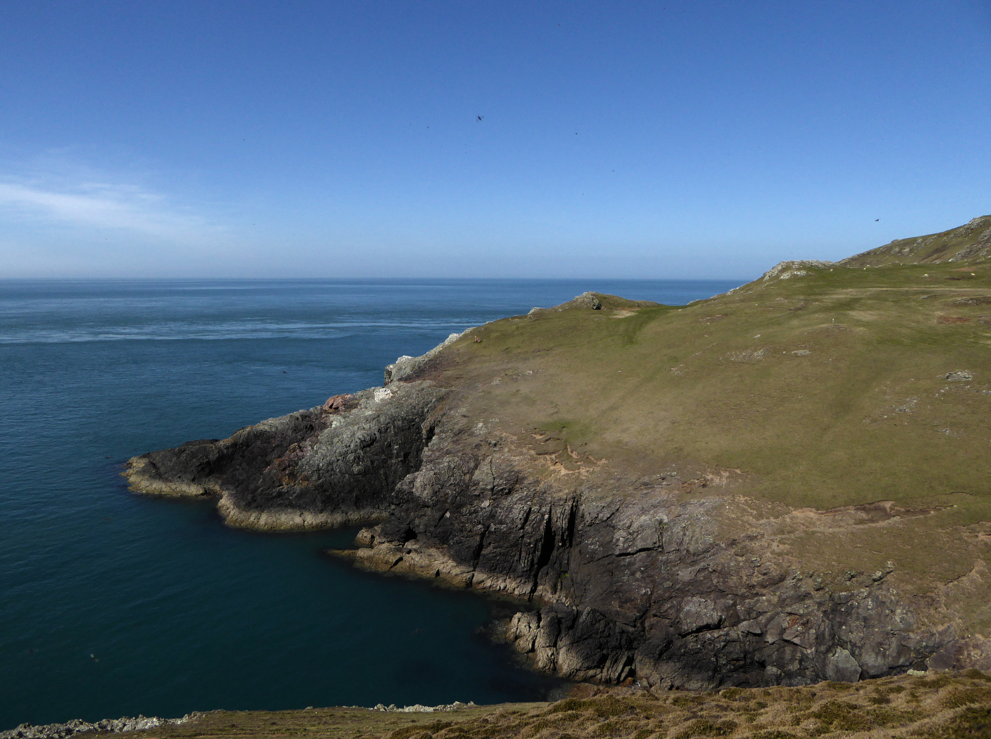
Maen Melyn in its clifftop position. Fynnon Fair (St Mary’s Well) is somewhere near the base of the cliffs at the bottom of the photo.

Ynys Enlli (“Island of the currents”), where flint tools and Iron Age settlement long predate the island’s appropriation as a Christian centre and pilgrim destination.

Landscape context from the southwest. Castell Odo is the gently conical hill, left of centre.
Other prominent prehistoric sites are Carn Fadrun hillfort (distant centre), Mynydd Rhiw (axe factory and cairn cemetery, right of centre) and Creigiau Gwineu hillfort (far right).

Looking down the Gwyrfar valley from the southeast. Mynydd Mawr is the mountain on the left, with a big cairn on the summit and another on the subsidiary summit Craig Cwmbychan looking over Llyn Cwellyn. On the opposite side of the valley is Moel Eilio, crowned with another big cairn.

Y Garn, with Mynydd Drws y Coed rising behind, seen from the east. The cairns are resolutely invisible from here, meaning that only elevation or distance will bring them into view.

The steep scarp face of Y Garn (left) dominates the little village of Rhyd Ddu. Mynydd Mawr, with further cairns, is over to the right.

