
Western arc, Brown Willy on the centre skyline.
Image credit: A. Brookes (23.6.2016)

Western arc, Brown Willy on the centre skyline.

Southern arc. The Cheesewring and Stowe’s Pound are prominent on the skyline.

Approaching the circle from the WSW.

The central mound of the western cairn of the pair at SX244717.

The western of the pair of prominent cairns to the WSW of the circle. It’s built of stone, but in form resembles a disc barrow, with an outer rim enclosing a berm and central mound.

Eastern of the pair of cairns WSW of the circle, looking north with Kilmar Tor on the right skyline.

One of the pair of large cairns on the summit ridge, WSW of the stone circle.

One of the group of three small cairns centred on SX246719.

Large but disturbed cairn at the eastern edge of the group centred on SX244721. The bare mound over to the left is mining spoil.


Another of the group at SX244721. The Craddock Moor embanked avenue is visible beyond the cairn – although I didn’t realise this when I was there.

Another of the group at SX244721, looking south to the high part of the moor.

One of the group centred on SX244721.

Looking back down the row from its higher northeastern end.
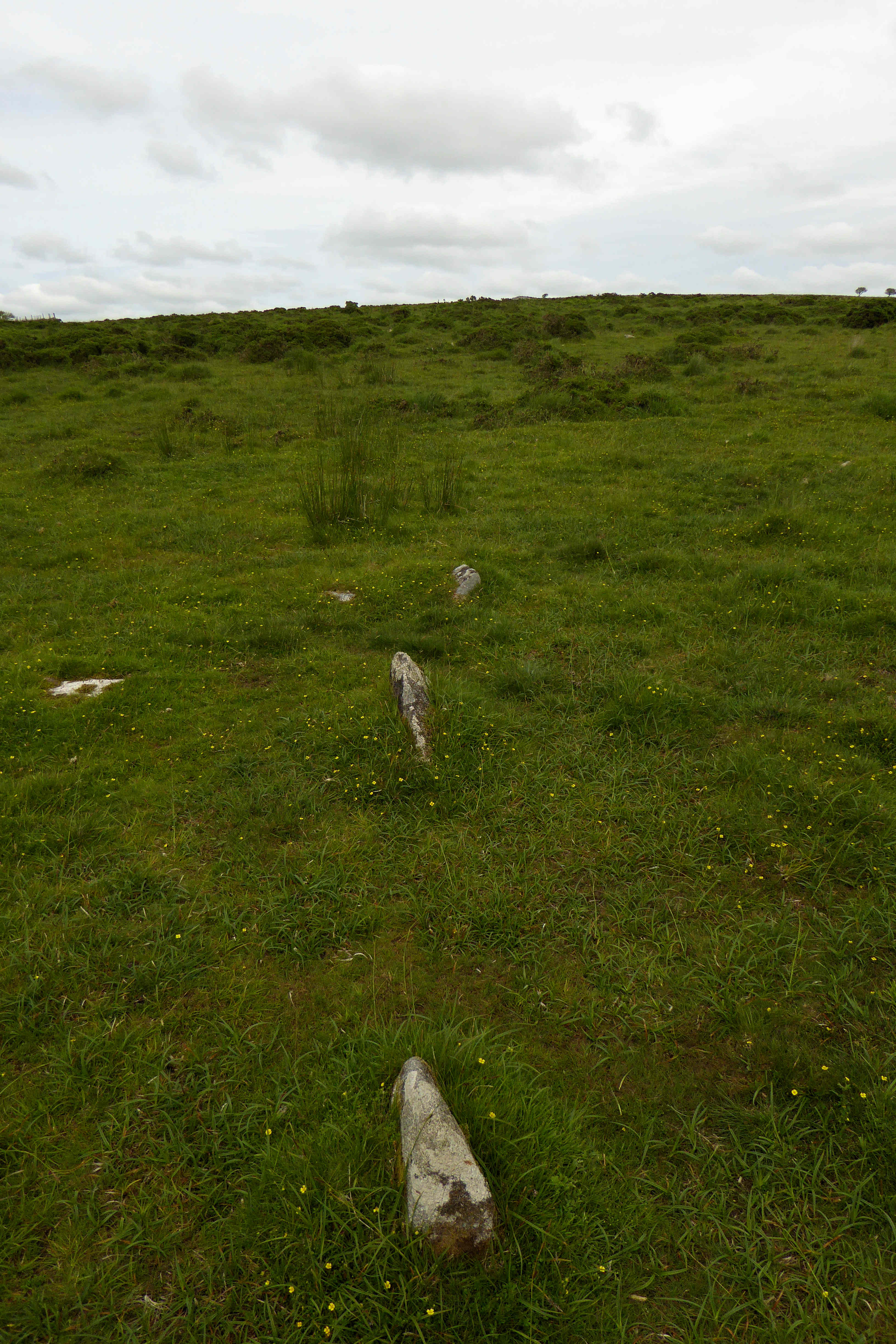
Nearing the northeastern end of the row – at least as far as I could tell it didn’t continue much beyond this.

Midway along the row.

Looking towards the southwestern end of the row.

Stones near the southwestern end of the row, looking towards the northeastern end.

The little near-buried stone in the foreground is the most southwesterly stone I found in the row, which continues through the sheep’s skull and up the hill. If there was ever a massive 8 foot terminal monolith, it’s gone now.

Hut circle at the southwestern extreme of the settlement, near the stone row. Most of the foundations have been robbed leaving six large upright slabs/boulders around the perimeter.

Linear feature in the settlement.

Well-preserved hut circle with door jambs in situ.

Hut circle at the higher northeastern end of the settlement, looking southwest towards Tregarrick Tor and Siblyback reservoir.

Looking NNW down the Withey Brook valley.

The turf and bracken covered cairn, looking across the Withey Brook to Craddock Moor.

This irregular pile of stones, including a large propped slab, is immediately to the east of the cairn. The cairn is the bracken covered mound to the left, in front of the two bushes.

Hut circle at the western end of the settlement. I think the prominent hills in the distance (left of centre) may be the china clay country around Hensbarrow Beacon.

The biggest hut circle in the settlement, with an apparent internal structure. The prominent hill is Stowe’s Pound.

Fine hut circle, looking across the Withey Brook valley to Craddock Moor where there is another extensive settlement, as well as a stone row, stone circle and cairns.

Curving lynchet or reave on the northern edge of the settlement.

The three summit cairns in profile from the southwest.

Looking down on the denuded remains of the southeastern cairn from the central, Sharp Tor rising ahead. Dartmoor fills the horizon.

Looking down on the northwestern cairn from the central. The views stretch away beyond Kilmar Tor to Brown Willy and Leskernick.

The central cairn is the most intact of the three, around 2m in height.


The centre of the northwestern cairn, showing some big pieces of granite. Nothing obviously structural though.

The northwestern cairn, looking west.

The northwestern of the three summit cairns.

The small cairn to the NNW of the summit, looking towards Brown Willy (left skyline) and Kilmar Tor.

Small cairn downhill and to the NNW of the summit trio. Strangely not mentioned on the HER, but nothing to suggest it’s modern (not in a place where a marker cairn would be useful and doesn’t have the look of clearance).

Bearah Tor is on the skyline right of centre.

Looking towards Kilmar Tor across the little ring/platform cairn.

The neat ring/platform cairn. Looking west towards Smallacombe Downs with the end of the Kilmar Tor ridge over to the right.

The cairn with cist, the capstone is visible underneath the gorse and turf.

The small cairn with cist, looking southeast. Dartmoor on the far left skyline, Sharp Tor left of centre, the television mast on Caradon Hill straight ahead and the triple Langstone Downs cairns silhouetted on the right.

Some sizable slabs on the south side of the cairn.


The chamber is oriented approx. southeast. The prominent hill is Notter Tor.

