


Standing on the bank of the northern rampart, looking down on the ditch. The white topped post marks a trail up and through the fort from the west, which needless to say I knew nothing about as I hacked my way up through the trees from the south.

The centre of the fort interior, the only part that isn’t quite overgrown.

Fairly slight bank on the south side of the fort. The steep natural slope does the rest – I don’t recommend coming up the way I did!

The stone has been in the wars, trimmed and dressed, but obviously broken into pieces at some point as well.

The top of the stone has a beautifully eroded hollow, filled with ice today.

First site visit of 2017, a frosty Llanbadarn Fawr. Look at the thickness on that.

Uncredited aerial photo of Pendinas from the north, part of a display in Llanbadarn Fawr church.

The final site visit of 2016.

Looking down the field to Lower Swell long barrow at dusk.

Watching the winter sun set from the barrow.
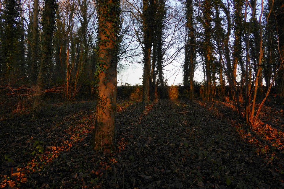
Not much of a barrow, but a nice spot in the trees.

Cow Common from the southeast, with the long barrow inside its new fence, centre.

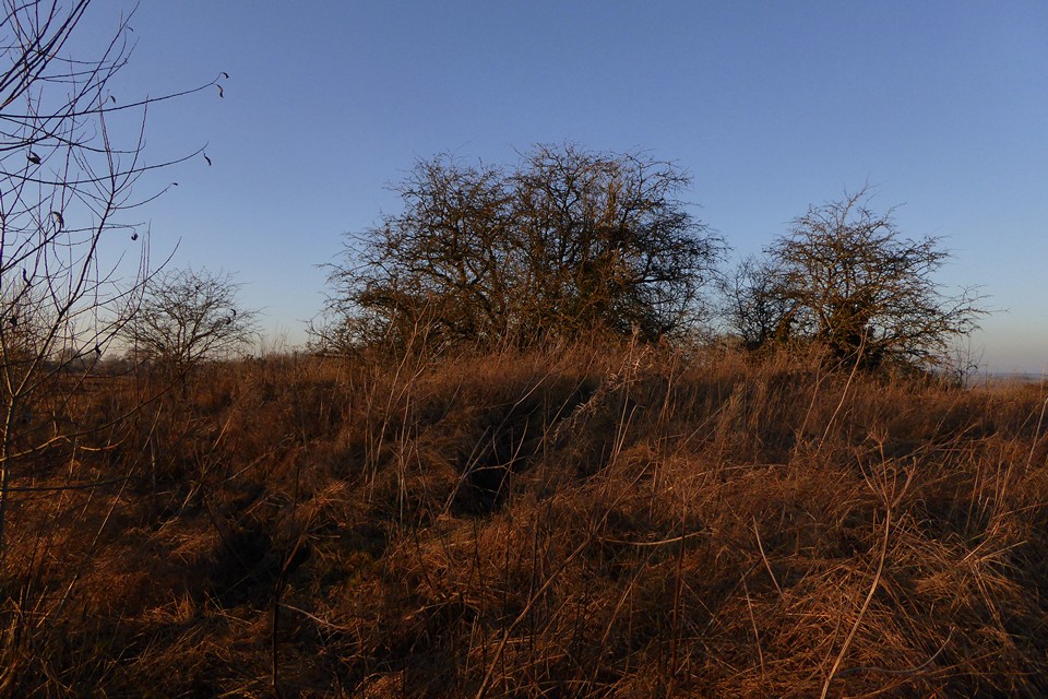
The top of the long barrow.

The southern flank of the long barrow. A dense screen of hawthorn has been planted around the perimeter, so in the next year or so accessing the barrow will be very difficult.
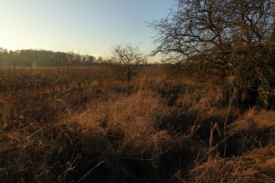
Looking west along the top of the overgrown long barrow.

Approaching the long barrow from the west.

Another of the round barrows, over the hawthorn screen.

It proved difficult to get any decent shots of the round barrow group at the west end of the site, as the landowner has placed a fence tightly around the perimeter and then planted dense hawthorn inside it.


Birdlip Camp, centre skyline, from Witcombe to the west. Crickley Hill fort is far left.


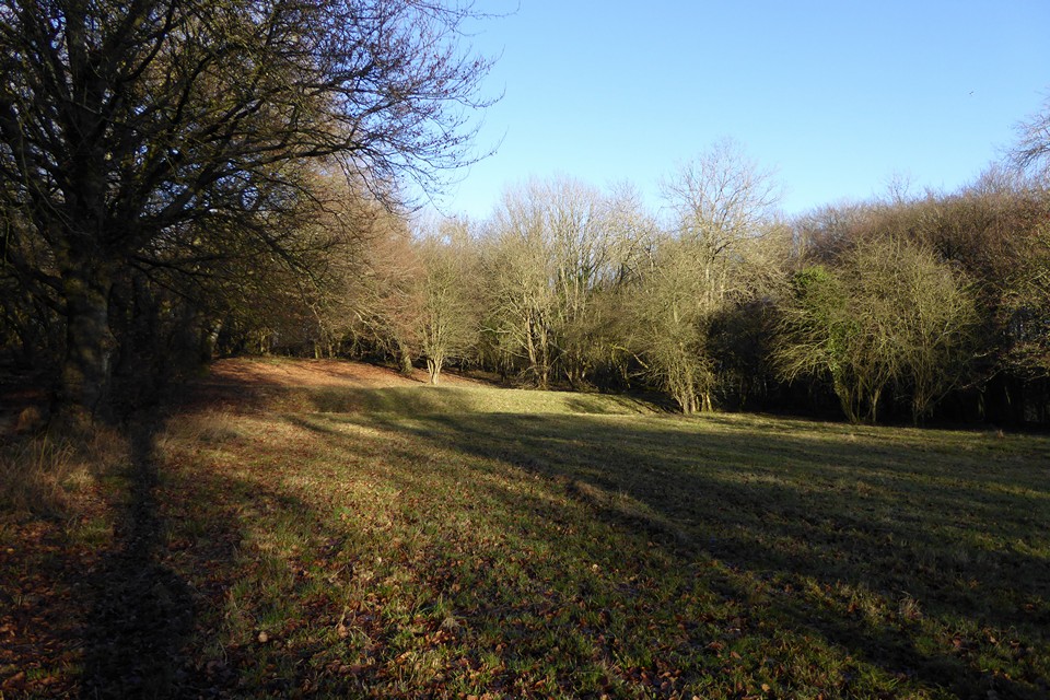


The outer bank and ditch to the southeast of the main site.

The northern rampart, looking out over the edge of the Cotswolds escarpment.


The southeastern ramparts, looking towards Haresfield Beacon hillfort.

Apologies for image quality, this was taken from the Bison Stone at the northern end of West Kennett Avenue (over 5km away) in failing light. The last rays of the midwinter sun sink below the horizon next to the long barrow. From the bank of Avebury henge itself the sun would fall directly behind the barrow at midwinter but hedges obscure this view.

Standing next to the Bison Stone, the northernmost surviving stone of the Avenue, close to the henge bank. The final rays of the midwinter sun are setting behind Easton Down long barrow.


The midwinter sun has dropped below Waden Hill.

Heavy skies over the Ridgeway and Overton Hill barrows from West Kennett Avenue as sunset approaches.

The big barrows up by the Ridgeway, from West Kennett Avenue as a cloudy sunset approaches.


West Overton 1, midwinter.

Seen from the east, the long barrow is very prominent in the landscape.

East Kennett long barrow, centre skyline, seen from the southeast alongside the Ridgeway north of Little Avebury.

The stone standing on edge inside the ring.

Looking east up towards The Ridgeway. The two stones in the foreground are outside the circumference of the circle.