
Small round barrow at the north end of the bank barrow, one of a group.
Image credit: A. Brookes (16.2.2017)

Small round barrow at the north end of the bank barrow, one of a group.


Eastern arc and Great Mis Tor.

Looking across the circle towards Great Staple Tor and Roos Tor.

The diminutive stone row near the long stone, stone circle beyond. Kind of reminiscent of the tiny followers of Maen Mawr.

Approaching sunset.

Long shadows of the pair of terminal stones at the western end of the southern row.

Wonderful cairn circle breaking the southern rows.

The cist with split capstone close to the rows. Looking towards Great Mis Tor.

Eastern section of the southern row, looking towards North Hessary Tor.

The eastern ends of the rows.

Looking towards King’s Tor across the southern row.

The terminal cairn circle at the eastern end of the northern row, looking towards Great Staple Tor.

General view and landscape context for the settlements, which occupy the east (right) bank and slopes of the upper Walkham valley. Roos Tor on the left, Great Mis Tor on the right.

Towards the southern end of the southern settlement, looking across the Walkham valley towards Great Staple Tor and Roos Tor. There is an impressive Bronze Age reave climbing the slopes Roos Tor to its summit.

Looking up to Great Mis Tor.

The houses are built from the plentiful clitter covering the slopes of the Mis Tors. This one uses longer slabs than some of the others.

One of the best houses in the entire site, in the southern settlement group.

Smaller round house in the southern settlement. Several have their door jambs still in situ like this.

Another of the excellent round houses in the northern settlement, the walls still standing two or three courses high. Looking across the valley to Roos Tor.

Superb round house at the very north of the northern settlement, just outside the enclosure boundary.

Prominent White Tor seen from the outcrops of Great Mis Tor to the southeast, across the Walkham valley.

Landscape context for the cairns, on the summit of the broad-backed hill, centre. White Tor rises beyond, on the right, the upper valley of the River Walkham below. Seen from Great Mis Tor.

A fleeting patch of blue sky, as I sit inside the enclosure. This place feels remote today.

Thick wall of the circular enclosure.

Large circular stonebuilt enclosure to the southwest of the hutcircles.

The settlement is right on the geological boundary between the old red sandstones of Fan Gyhirych and the limestone of Carreg Cadno to the south. Looking from the site towards Carreg Cadno (“Stone of the Fox”).

Small circle, which may be a hut circle but isn’t one of the two shown on the CPAT SMR.

Approaching the Pwll Byfre settlement (in front of the treeline) from the north.

There are fine views to the west and northwest down to the valley.

Looking southeast up the slopes of Fan Bwlch Cwyth.


Looking east-northeast.

This one plays hide and seek in the reedy grasses.

Looking northeast, as fleeting sun catches the snow across the valley.

The central cist, after a bit of snow clearance.

Looking WSW, towards Waun Leuci – the Cerrig Duon/Maen Mawr sites are over the other side of that.

The cairn as first encountered, looking southeast up the slopes of Fan Bwlch Chwyth. It wasn’t the easiest thing to spot in the snow!

The fort/enclosure is on the spur on the far right of shot, with the dark band of trees underneath it. It is separated from the broad moorland of Fforest Fach by the glacial valley of Cwm Treweryn.

The only view of Fan Gyhirych of the day, by the time I got close the mist and rain had reduced visibility to nothing much. Seen from the minor road to the north. Waun Leuci/Cefn Cul (cairns and standing stone) on the right.
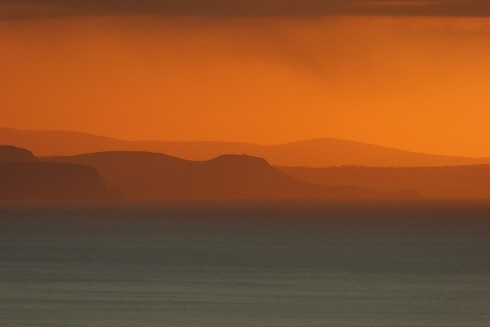
Pendinas Lochtyn seen from its distant namesake, Pendinas near Aberystwyth. The hill rising behind is the even more distant Mynydd Carningli in Pembrokeshire.

New Year sunset, looking down the Ceredigion coastline from the fort. The dark headland to the left of centre is Pendinas Lochtyn fort. Far beyond that are the Preseli hills in Pembrokeshire.

The western defences, looking towards Aberystwyth.

Looking across the southern ramparts towards a snowy Pumlumon.


The steep slopes on the western side of the fort.

Looking west along the Nant Paith valley towards Aberystwyth and the sea.

The ground dropping steeply away on the southwest of the fort.
