


Life is made of patterns. Avebury 30.

Looking from Avebury 30 down into the valley of West Kennett Avenue, with Waden Hill rising behind.

Avebury 30, Overton Hill. It stands alone, but so many other sites are visible from here.

The superb Avebury 30 bowl barrow, the northernmost barrow of the Overton Hill group.

Avebury 30a, twin mounds inside a single ditch.

Avebury 31 and 32, with the Ridgeway running across the ridge behind.


Avebury 32 beneath its crown of beeches.

Avebury 32 bowl barrow, Avebury Down. The highest hills of Wiltshire on the skyline, more terrific barrows on Overton Hill beneath the beeches in the middle distance, West Kennett Avenue and Waden Hill over on the right.
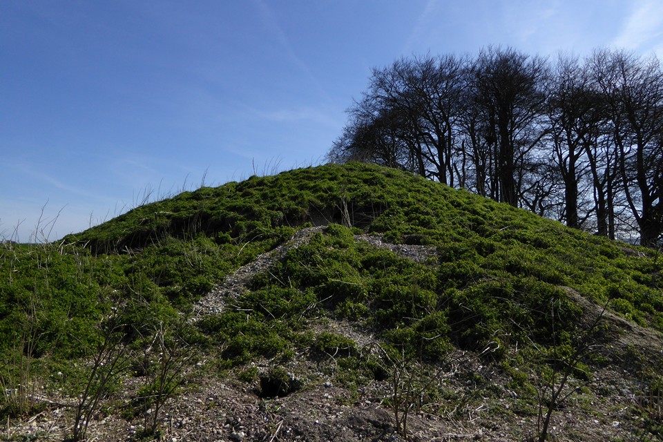
The north side of Avebury 31, showing damage from burrowing critters.

Avebury 31 bowl barrow, Avebury Down. Avebury itself is extreme left of shot.


Showing the apparent kerb of the southern barrow, looking towards Cherhill Down.

Large upright sarsen in the “kerb” of the southern barrow.

Looking northeast towards Fyfield Down. The Mother’s Jam is out of sight below the crest of the down.
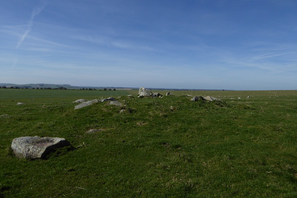
The southern barrow, looking west. The sarsen in the foreground is one of several with a natural basin on its top.

The southern barrow, placed in one of the best viewpoints in the whole Avebury landscape. The skyline encompasses Milk Hill, Tan Hill, King’s Play Hill, Morgan’s Hill and across towards Cherhill Down.


Almost six years on from my previous visit, little has changed.

The northern barrow. Although the earthwork itself is very reduced, the setting is very good with far reaching views. Devil’s Den is down there somewhere.

The northern barrow, less overgrown than my previous visit but still less than impressive as a monument.

The stone with the possible cupmark.

Amongst dozens of stones with natural cups and pits, I came across this one stone with what might be a manmade cupmark on its upper surface. Opinions welcome.

Sarsen drift, Fyfield Down. Essentially this is the northern end of the Mother’s Jam.


Stone 73, next to the eastern entrance, polished smooth – by sliding?

Stone of the northeastern quadrant: northern stone circle, cove and outer ring.

One of the survivors of the northern inner circle.


Cairn III, mainly visible due to the arc of stonework exposed on the southwest of the monument.


Cairn II. England is over there somewhere.

Cairn II, showing some stonework amongst the concrete. Barrybados beyond.


Cairn I, looking east towards Nell’s Point.

Cairn I, looking northwest to Little Island.

Friar’s Point I cairn, looking across Watch House Bay towards Cold Knap.

The well in its atmospheric setting, the outflow running to the clifftop and then dropping straight to the sea.


Looking out to sea(!) across the well-house.

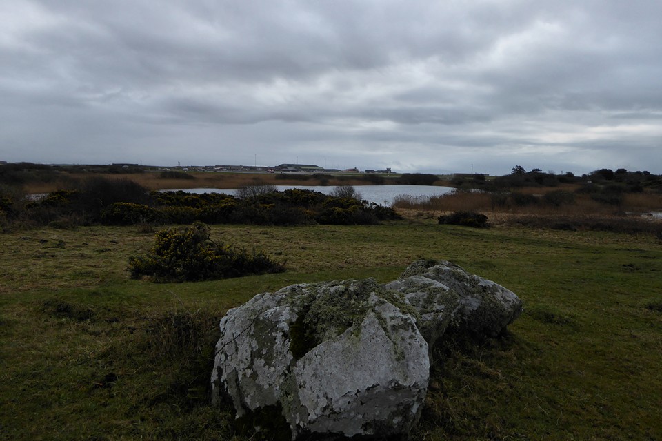
Looking across the remaining part of Llyn Cerrig-bach towards Valley airfield, where the hoard was found during runway extension work. I’m pretty sure that some of the features to the northwest of the lake are not natural, but there’s nothing on any SMR.

Caer y Twr crowning the summit of Holyhead Mountain is the dominant landscape feature when looking westwards across most of Ynys Mon. Seen here at dusk from Rhosneigr.

The chambered tomb in its coastal setting, centre, seen from the northwest. Immediately the right of the covering dome, the summit of Yr Eifl on the Lleyn can be seen.


Looking northwest, with Holyhead Mountain far right.
