Image credit: Andy Sweet


Scotty pointing out the cup mark


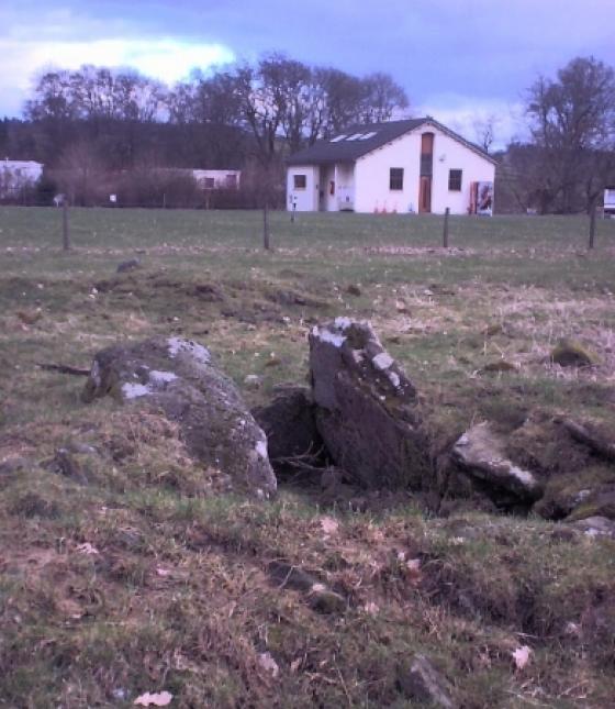
Looking east. Note the pile of field-clearance boulders...

Looking west.

The north west stone.

The north west stone looking into the setting sun.