Skip to content
Julian Cope
presents
The Modern
Antiquarian
Latest
Posts
Sites
Map
Blog
Forum
search
Search
⚠️
Sign in
more_horiz
Eire
County Kildare
Killickaweeny
Standing Stone / Menhir
N836402
expand_more
Nearest town:
Maynooth (10km E)
OS reference:
N836402
OS sheet:
49
Latitude:
53° 24' 19.16 N
Longitude:
6° 44' 34.2 W
Added to TMA by
FourWinds
Images (1)
Add
content
Images
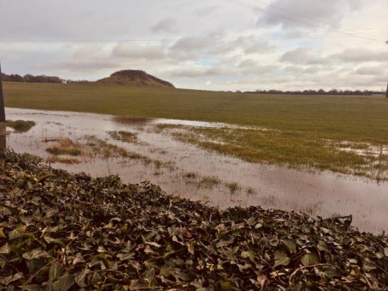
Killickaweeny 23/05/06
Image credit: Bawn79
bawn79
May 26, 2006
Sites within 20km of
Killickaweeny
Derrypatrick
Bullaun Stone
•
12.03km NNE
photo
3
Griffinrath
Artificial Mound
•
13.02km E
photo
1
description
1
Clane
Bullaun Stone
•
13.54km SE
photo
3
description
1
Culmullin
Artificial Mound
•
13.55km NE
photo
3
description
1
Firmount East
Artificial Mound
•
13.96km SSE
photo
1
Lismahon
Artificial Mound
•
14.26km ENE
photo
1
Mooretown
Artificial Mound
•
14.92km NE
Trinity Well
Sacred Well
•
15.01km WSW
description
2
Knockmark
Artificial Mound
•
15.29km NE
Carbury Hill
Round Barrow(s)
•
15.98km WSW
photo
22
description
5
Newtown (Navan Upper By.)
Holed Stone
•
16.83km NNW
photo
3
Dunsany
Bullaun Stone
•
16.92km NNE
photo
3
description
1
Barretstown Hill
Barrow / Cairn Cemetery
•
17.03km SSE
description
1
Ticknevin
Bullaun Stone
•
17.41km SW
description
2
Ringwood
Rath
•
17.61km E
photo
3
description
1
Cooljohn
19.01km N
photo
1
description
1
Grange (Newcastle By.)
Standing Stone / Menhir
•
19.58km ESE
photo
2
description
1
search
I’m looking for…
location_on
photo
ondemand_video
forum
description
link