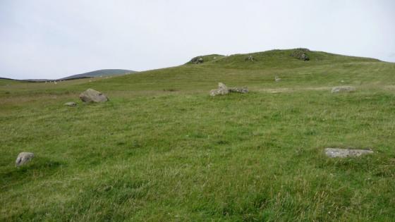
Looking over the ring cairn to the summit cairn of Bleaberry Haws.
Image credit: Chris Bickerton
Looking over the ring cairn to the summit cairn of Bleaberry Haws.


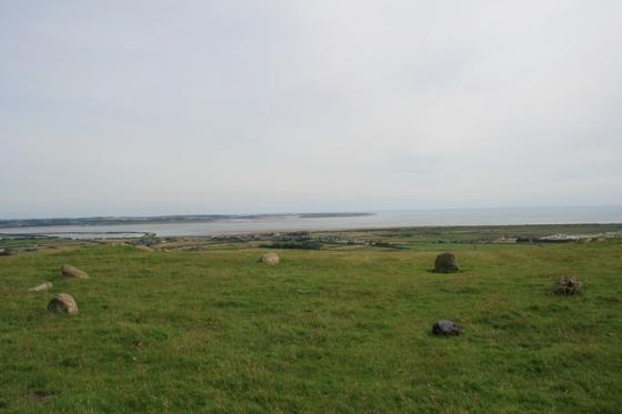
The ring cairn and the Old man


Not a brilliant picture but the bank and ditch of the 19m ringcairn can be seen on the right of the picture. The modern cairn, that crowns the highest point of the Haws, can be seen in the distance