Skip to content
Julian Cope
presents
The Modern
Antiquarian
Latest
Posts
Sites
Map
Blog
Forum
search
Search
⚠️
Sign in
more_horiz
United Kingdom
Scotland
Dumfries and Galloway
Loch Arthur
Crannog
NX903690
expand_more
Nearest town:
Dumfries (9km NE)
OS reference:
NX903690
OS sheet:
84
Latitude:
55° 0' 11.78 N
Longitude:
3° 42' 55.08 W
Added to TMA by
rockartwolf
Images (1)
Add
content
Images
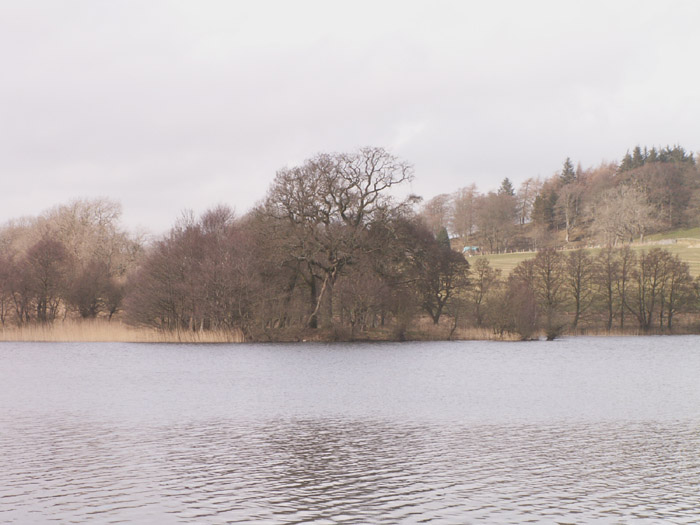
25/3/06
view from the banks of Loch Arthur
wolfy
Image credit: pebblewolf
rockartwolf
Mar 27, 2006
Sites within 20km of
Loch Arthur
Lochrutton Loch
Crannog
•
4.02km NNW
photo
1
description
1
Easthill
Stone Circle
•
5.15km NNE
photo
35
description
3
link
1
Pict’s Knowe henge
Henge
•
5.95km ENE
photo
15
description
1
link
1
Milton Loch SE
Crannog
•
6.39km W
photo
4
description
2
Milton Loch Central
Crannog
•
6.81km W
photo
4
description
2
Milton Loch
Crannog
•
6.85km W
photo
2
Green Island, Milton Loch
Ancient Village / Settlement / Misc. Earthwork
•
6.95km W
photo
10
description
2
Milton Loch NW
Crannog
•
7.02km W
photo
3
description
2
Beacon Hill
Hillfort
•
7.47km N
photo
2
description
1
Lochhill
Chambered Cairn
•
7.64km E
photo
1
description
1
Slewcairn
Chambered Cairn
•
7.87km SE
photo
5
description
3
link
2
Slewcairn NE
Cairn(s)
•
7.96km SE
photo
2
description
1
link
1
Slewcairn SW
Cairn(s)
•
8.03km SE
photo
4
description
1
link
1
Loch Kindar
Crannog
•
8.14km E
photo
1
Curriestanes
Cursus
•
8.38km NE
description
1
link
1
The Doons
Hillfort
•
8.58km NW
photo
1
description
1
Redcastle
Standing Stone / Menhir
•
8.7km WSW
photo
5
description
1
Hall Hill
Hillfort
•
10.49km N
photo
1
description
1
Maryholm Stone
Standing Stone / Menhir
•
10.54km NE
photo
4
description
1
The Twelve Apostles of Hollywood
Stone Circle
•
11.27km NNE
photo
37
ondemand_video
1
forum
1
description
19
link
3
Ward Law
Hillfort
•
12.33km E
photo
6
description
1
Kells Standing Stone
Standing Stone / Menhir
•
12.46km SE
photo
2
description
1
link
1
Home Farm
Standing Stones
•
12.74km SE
photo
4
description
1
Court Hill
Hillfort
•
13.47km SW
Ernespie Standing Stones
Standing Stones
•
14.01km WSW
photo
8
description
1
Newbarns South
Kerbed Cairn
•
14.23km S
photo
13
Newbarns North
Kerbed Cairn
•
14.23km S
photo
15
forum
1
Colvend
Crannog
•
14.23km S
link
1
Torrs Hill
Hillfort
•
14.62km WSW
link
1
Springfield Hill
Hillfort
•
15.31km NNW
description
1
Gars Hill
Hillfort
•
15.48km NE
Carlingwark Loch
Crannog
•
15.52km WSW
photo
4
forum
1
description
4
Kerricks Farm Barrow
Barrow / Cairn Cemetery
•
15.74km NNE
Temple Wood
Promontory Fort
•
16.27km N
photo
1
description
1
link
1
Glenesslin Schoolhouse
Cairn(s)
•
16.75km NW
photo
2
description
1
link
2
Camp Law, Tinhill
Hillfort
•
16.82km NE
Lodge Of Kelton Farm
Cup Marked Stone
•
17.74km WSW
photo
9
White Cairn, Gelston
Cairn(s)
•
18.05km SW
photo
2
description
1
link
1
Mullach Hill
Hillfort
•
18.14km N
description
1
White Cairn, West Skelston
Cairn(s)
•
18.29km NW
photo
3
description
1
link
1
Slagnaw
Cup and Ring Marks / Rock Art
•
18.55km WSW
photo
3
Fleuchlarg
Cairn(s)
•
18.91km NW
photo
12
description
2
link
1
White Hill
Hillfort
•
19.67km NE
photo
4
description
1
search
I’m looking for…
location_on
photo
ondemand_video
forum
description
link