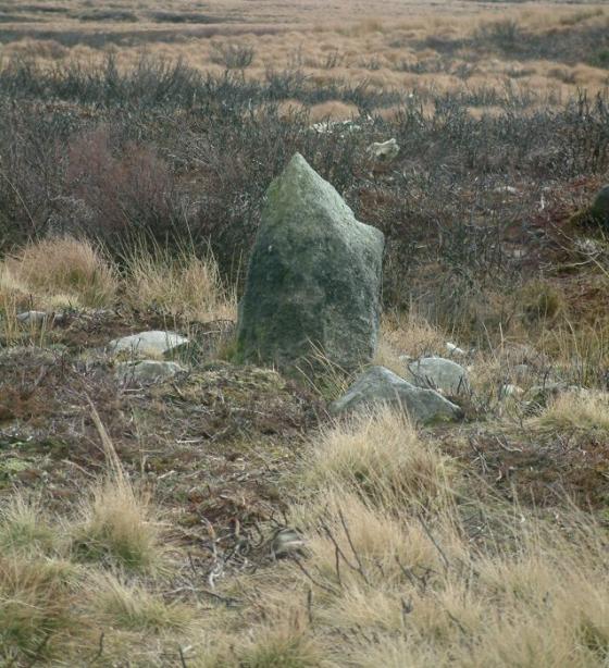
Barrow mound stones Red Rake/Revidge Blackburn
Image credit: Carol27
Barrow mound stones Red Rake/Revidge Blackburn

Tumulus (Long Barrow?) at Red Rake/Revidge Blackburn (Yeah!)

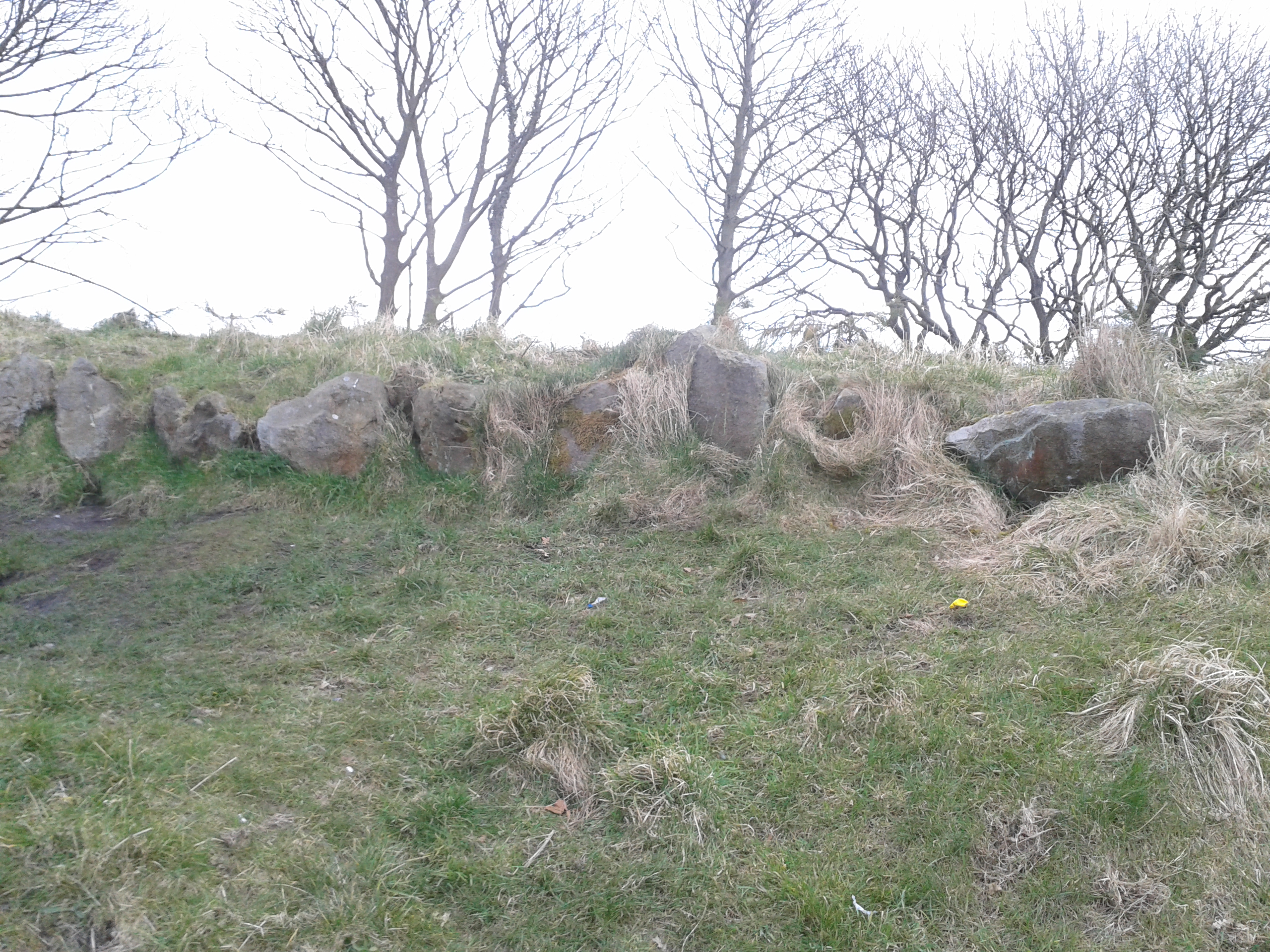
Behind Tumulus (Long Barrow?) at Red Rake/Revidge (4000 holes in...) Blackburn, Lancashire.
Tumulus (Long Barrow?) at Red Rake/Revidge Blackburn

Tumulus (Long Barrow?) at Red Rake/Revidge Blackburn

Tumulus (Long Barrow?) at Red Rake/Revidge Blackburn
Just came upon this regarding the Revidge Hill Burial Mound northernantiquarian.forumotion.net/t155-revidge-hill-burial-mound-blackburn-sd-674-293
The tumulus was excavated in 1879, during which an urn was discovered containing a cremation.