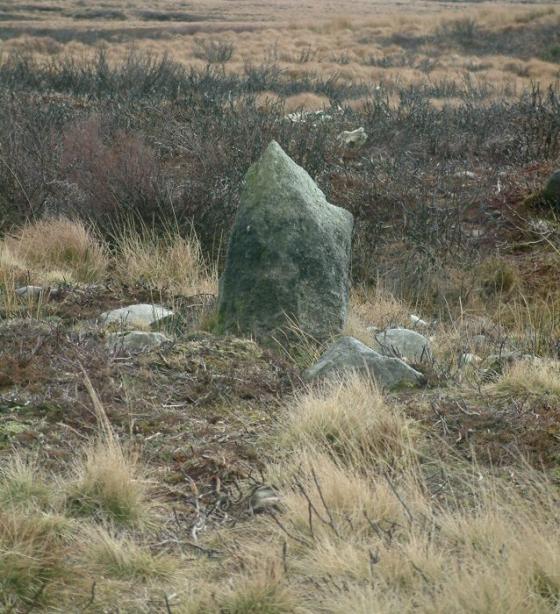
Devil’s Ditch looking north east
Image credit: Nuthatch
Devil’s Ditch looking north east

Devils ditch taken from Round loaf looking towards Winter Hill
The Proceedings of the Prehistoric Society No 61, 1996 pp 135 & 145
Page 135
“Is a substantial linear feature of no obvious function.”
“May have been a land boundary of the kind associated elsewhere with the Neolithic / Bronze Age exploitation of upland areas.”
Page 145
“A long straight flat-bottomed earthwork which does not conform to any lines of natural drainage or local topography. There is only limited evidence for banks on either side of the ditch”