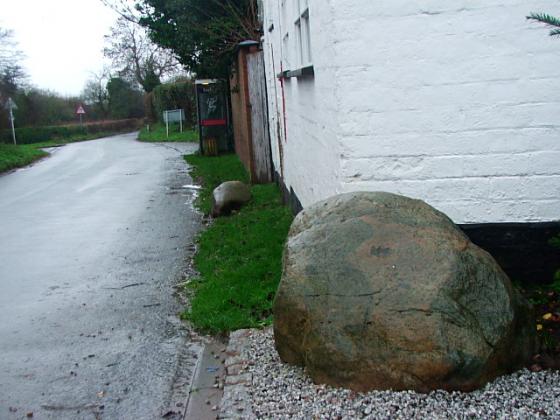
Visited 10.8.11
Directions: Travelling south west out of Stafford along the A518, just after you drive under the M6, you will see a sign to Derrington on your right. Keep on the A518 but take the immediate next turning right towards Dearnsdale Farm. Park where you can.
There is a public right of way along the farm drive and across the fields north.
The drive actually runs around the western defences of the Hillfort.
There is about a 2 metre drop on the left of the drive which I assume is the remains of the outer rampart? and a smaller 1 metre rampart can be made out amongst the bushes to the right hand side of the drive.
There is a high barbed wire fence running around the site which is further ‘protected’ with chest high nettles. The Hillfort is completely overgrown with trees, bushes, brambles etc and access to its interior would be very difficult.
I peered through the fence from the drive but was unable to make anything else out. There is a small house on the drive appropriately named Berry Ring Cottage.
I can’t recommend a visit as access to the actual Hillfort would be very difficult although the outer rampart is easy enough to see.
Articles
It certainly doesn’t look like the hilliest sort of hill fort from this photograph.
A description of the site.
Sites within 20km of Berry Ring
-

Webb Stone
photo 6description 5 -
Little Onn
description 1 -

Milford Round Barrow
photo 2description 3 -
King's Low and Queen's Low
description 3 -
The Roundabout
description 1 -
Norbury
description 2 -
Pave Lane
link 1 -

Bury Bank
photo 1description 1link 1 -

Saxons’ Lowe
photo 1description 1 -

Castle Ring (Cannock Wood)
photo 6forum 1description 4link 1 -
Bishop’s Wood Hillfort
description 1 -

The Auctioneers Mound
photo 2description 1