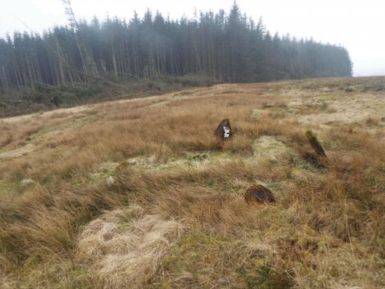
Tinnis Hill viewed from Windy Edge Long Cairn.
Image credit: Mark Johnstone
Tinnis Hill viewed from Windy Edge Long Cairn.

Tinnis Hill Summit Cairn viewed from S.

Low remains of S Arc of Outer Enclosure surrounding Tinnis Hill Summit Cairn.

Tinnis Hill Summit Cairn topped with a Stone Shelter & Trig Point viewed from S.

Tinnis Hill Summit Cairn topped with a Stone Shelter & Trig Point viewed from S.

Exposed Rubble of Stones on Tinnis Hill Summit Cairn.

Tinnis Hill Summit Cairn topped with a Stone Shelter & Trig Point viewed from E.
Visited 26.05.12
Tinnis Hill Summit Cairn is located c. 4.25 miles ENE of Langholm. The round cairn lies 0.25 miles E of the Scottish Borders/Dumfries and Galloway border. There is an oval grass mound on the summit of Tinnis Hill. There are low remains of a stone wall enclosure at the base of the mound. On the N & S Axis the wall is c. 40 yards from the summit and c. 25 yards from the summit on the E-W Axis. The cairn was constructed on the centre of the mound. It has been greatly reduced over the centuries to a low grassy mound measuring c. 20 yards in diameter and 2 feet high, according to Canmore ID 67879. A trig point has been erected on the E edge of the cairn. A horseshoe-shaped stone shelter up to c. 4 feet high surrounds the trig point on the N,S & W Arcs.
When visiting this isolated site it is worthwile extending your route 1 mile S to visit Windy Edge Long Cairn and Windy Edge Stone Circle sites in Dumfries and Galloway.