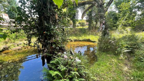
Misty, rainy day in Cullentragh – I want this to be a ring cairn, but I have my doubts.
Image credit: ryaner
Misty, rainy day in Cullentragh – I want this to be a ring cairn, but I have my doubts.

Looking north-east.

Looking north-west towards Lough McNean.

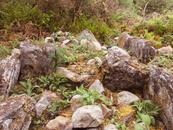
Looking south towards an obscured Cuilcagh – the rectangular feature in the foreground is very cist-like.

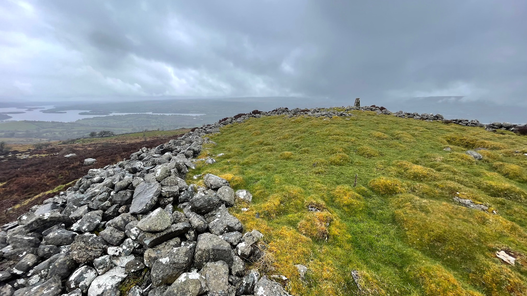
Approaching from the west, the trig point is visible on the left, embedded on the northern arc of the ring cairn.