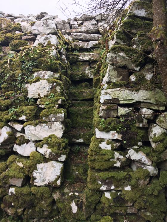
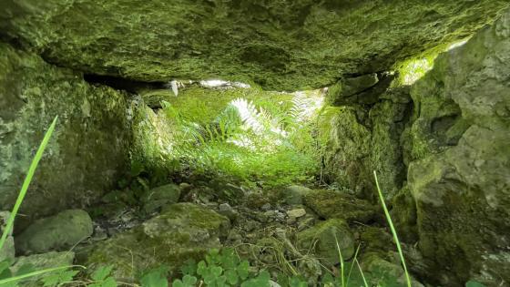
Probably the only dry place in the vicinity that day.
Image credit: ryaner
Probably the only dry place in the vicinity that day.

Another tilt.

The Giant was a gravity defying diner.

More detail.

Tilted camera.

Delicately poised.

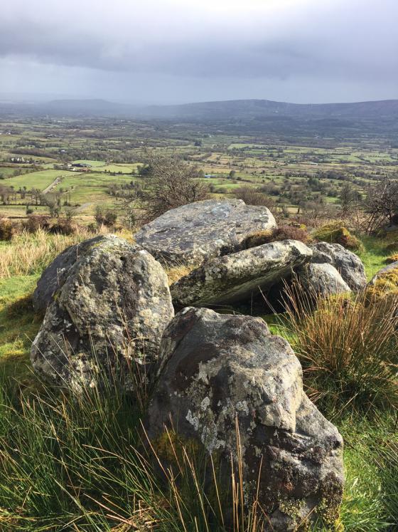
Looking north – Cullentragh ring-cairn is over the ridge on the right over the Fermanagh/Cavan border.

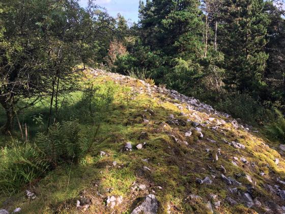
Some natural solution pits, some cupmarks.
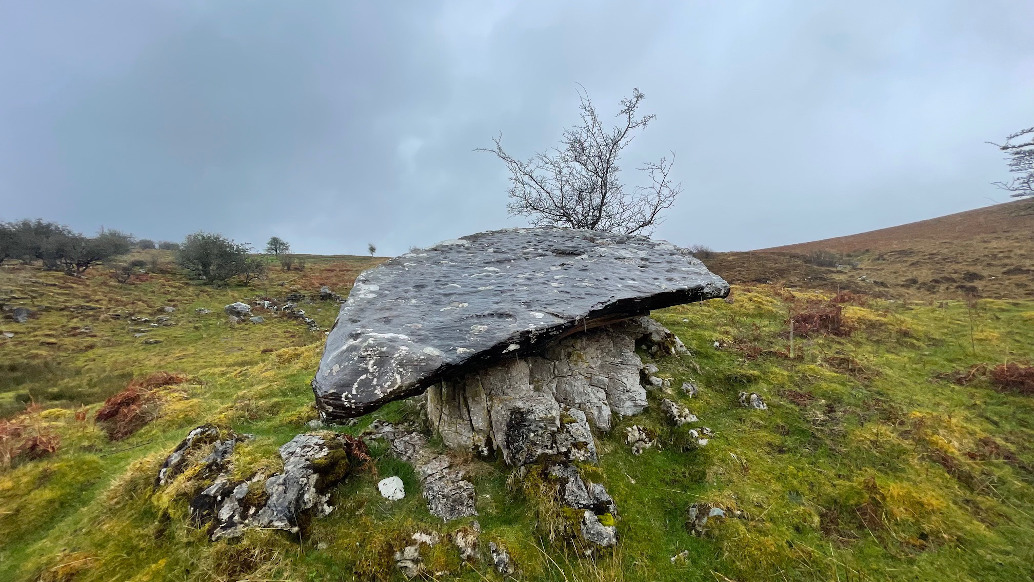
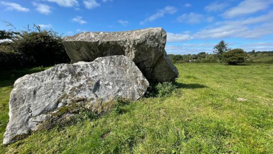
The Giant’s table.

Looks like a classic dolmen.

A bit further out than the previous shot – a hauntingly beautiful landscape.

Approaching from the north through the rain.