
Smittons Bridge Kerb Cairn viewed from N.
Image credit: Mark Johnstone
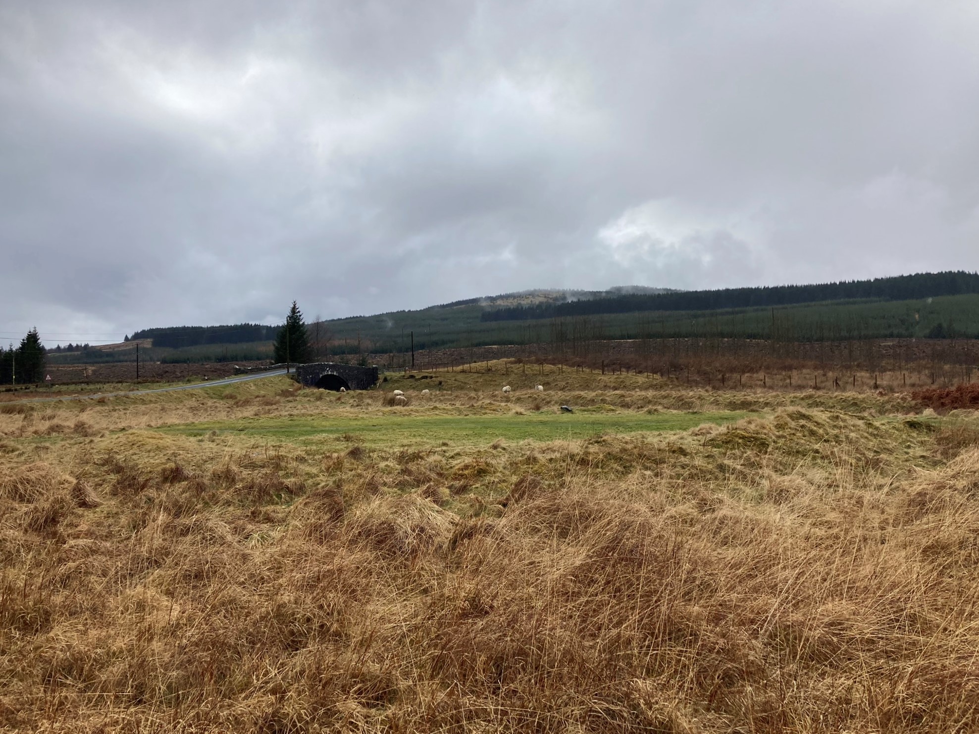
Smittons Bridge Kerb Cairn viewed from N.
Smittons Bridge Kerb Cairn viewed from E.

Smittons Bridge Kerb Cairn viewed from S.

Smittons Bridge Kerb Cairn viewed from W.

Kerb Stones on W Arc of Smittons Bridge Kerb Cairn.

E Half of Smittons Bridge Kerb Cairn viewed from N.

W Half of Smittons Bridge Kerb Cairn viewed from S.

Grass Track Bisecting Smittons Bridge Kerb Cairn on a N-S Axis.
Visited 25.03.23
Smittons Bridge Kerb Cairn has been reduced to a low grassy circular platform at the base of Stroanfreggan Crags, c. 5 miles E of Carsphairn. It is located c. 100 yards E of Smittons Bridge on the B729 Moniaive road. The cairn has been bisected by a grass track, starting c. 100 yards E of Smittons Bridge, leading N to a disused quarry at the foot of Stroanfreggan Crags. The platform measures c. 60 feet in diameter reaching a height of c. 2 feet on the NE Arc. An earth bank survives on the NE, SE and W Arcs of the kerb cairn. There are several large kerb stone extant on the W Arc. The centre of the platform is flat with a grass track on a N-S Axis despoiling its surface. Canmore ID 64347 has a full description of Smittons Bridge Kerb Cairn.


