
A bit of provenance.
Image credit: ryaner
A bit of provenance.

A stream flows at the back of the rag trees on the opposite side of the well – the spring flows out into the stream to the left and the right.

The spring rises among the swirls at the bottom of the shot and flows out to the right and the left.

Rag trees at the edge of the wellspring.
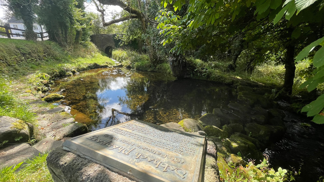
Dabhach Phádraig, “a place of strong atmosphere.”


