
From the rear.
Image credit: ryaner
From the rear.

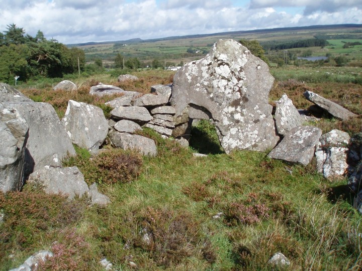
I’m more inclined to believe this is a wedge tomb. This shot is taken from on top of the infill between the chamber wall and the drystone walling of the ‘kerb’.

Pano of the front. The stone in the foreground is said to be a displaced roofstone.

Close-up from inside the chamber, 2.45 metres tall.

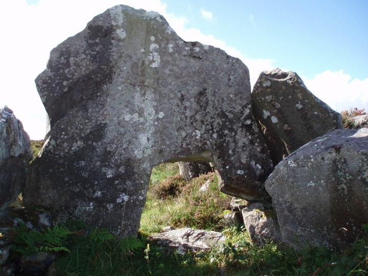
The kennel hole stone. I’d seen photos of this before but never realised it was so massive, 2.45 metres tall. De Valera and Ó’Nualláin visited the site three times and were unable to classify it with sufficient confidence. Quote; “... we were not convinced that the ‘kennel-hole’ was a deliberately contrived feature of the original tomb. It could well be accounted for as an accidental break.”

Looking over the backstone of the chamber at the blocking stone/septal stone with the famed kennel hole.

Corracloona was renovated but seemingly no record was kept of the process. It was subsequently excavated but the full report was never published.

Corracloona Court Cairn
Corracloona Court Cairn

Corracloona Court Cain...with curious little doorway!

Corracloona Court Cairn
Corracloona court cairn


