
The middle defences looking south east.
Image credit: drew/A/B
The middle defences looking south east.

Top of the east section.

The cliff defence of the east section looking north.

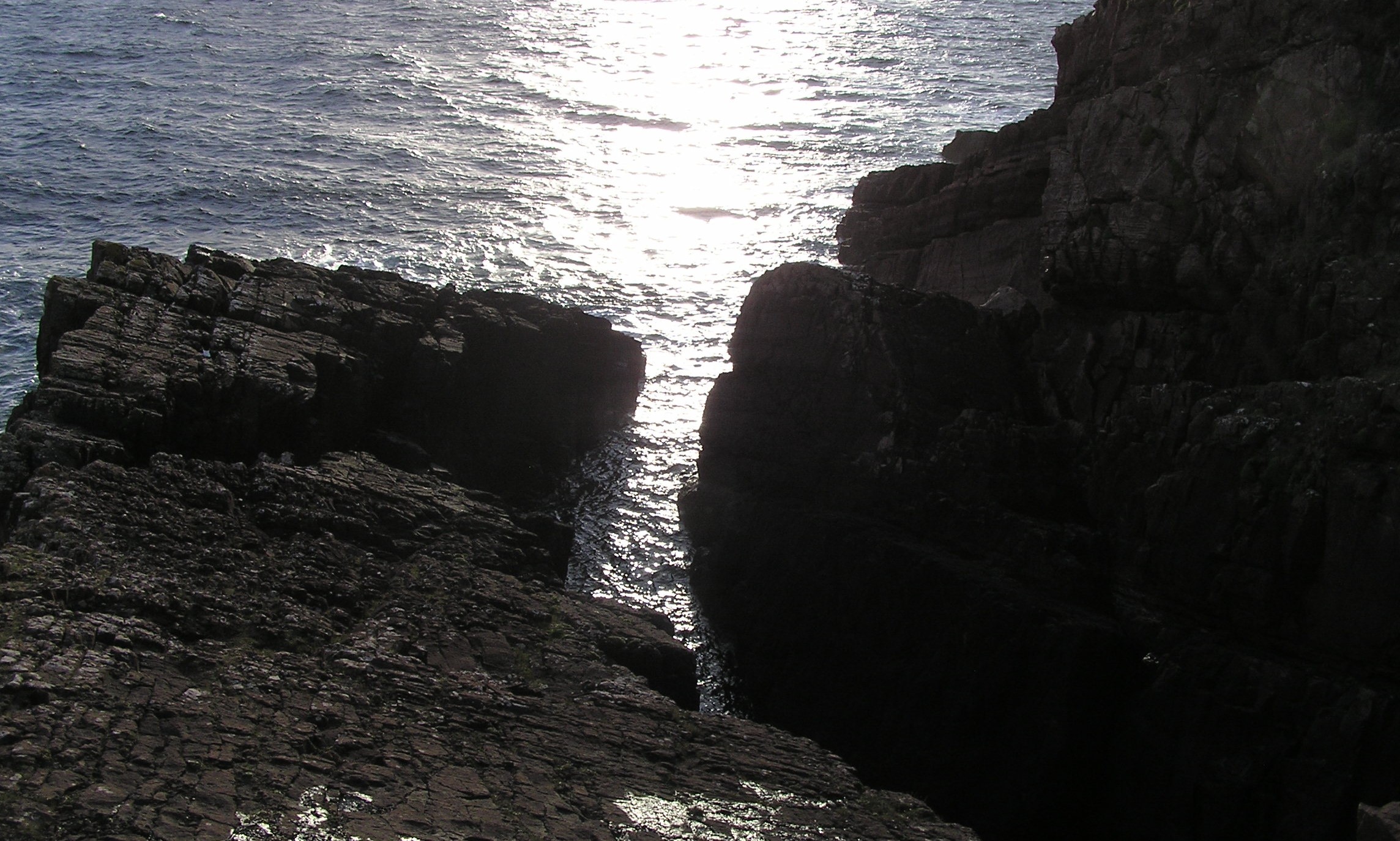
The gap between the east and west sections.

Looking south, the cliff defence of the east section.

Looking down onto the east section.

You need long legs for these steps, I have long legs :-)

Straight down on the south side.

Looking up from the south east.

The south side of the duns highpoint.

The first step to the top, plus looking north over the hill in front is Clachtoll Broch.
Bottom of the south west stack.

The sun returns over the highest point of the dun.

The split.

A cloud covers the sun on the eastern approach.

A different angle on Clachtoll reunites the splits.

No guesses why the dun has the nickname ‘The Split Rock’.
Once finished at Clachtoll’s Broch head south on the coastal path, walk round the Bay of Clachtoll’s beach and climb up the grass bank on the other side. Whilst doing all of this keep your eye on the promontory and it’s amazing shape. The Split Rock is also home to a dun, it is a truly stunning scene.
To reach the site basically keep on the grass and head west looking for the highest point. Don’t go any further than the highest point as a 20m drop into the sea awaits. This part of the dun measures 14m by 7m and has some vitrified rock, to reach it long legs would be needed to climb the natural stairway of the small cliff on the east side.
To me, it also looks like the lower and east side has also been used at some point. Whatever it was used for nobody appears to know but surely came in handy as an extra line of defence.
Pottery finds at the dun are of a similar age to those found at the nearby broch. Presumably both were occupied at the same time.
With that it was back to the car this time using a track to get back to main road for an easy walk back north.
Truly stunning site!
Visited 12/10/2020.


