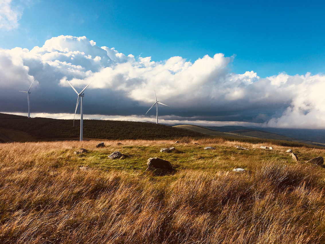
The cairn and the windfarm on the slopes of Croghan.
Image credit: ryaner
The cairn and the windfarm on the slopes of Croghan.

The arc with the largest amount of contiguous kerbstones. Some of them are loose however, and may be later additions.

The largest kerbstone, leaning outwards and fractured on its long axis.

More quartz peeping through the turf. There’s lots of it here. The area around the entrance to the foresrty about a kilometre away is known locally as the White Heaps “due to the cairns of quartz which may have marked prehistoric burial mounds” according to the notice board there.

A line of quartz boulders through the centre of the grass covered cairn. Not too sure about these.

The view south is blocked by the usual pine plantation.

South-east into Wexford. Tara Hill in the distance.

Looking north-east. Arklow is the town in the distance.

Looking north. The two stones in the foreground may have come from the cairn.
Slievefoore (An Sliabh Fuar – the cold mountain) is a small hill, 414 metres above sea level on the eastern side of a small range that culminates in the pinnacle of Croghan Mountain (606 metres) straddling the Wicklow/Wexford border. The hills are southern outliers from the main Wicklow range. There are no antiquities marked on the OS map in the range. However, on archaeology.ie there is a cairn marked on Slievefoore. A friend recently moved into the area and on a visit I got curious and decided to investigate.
Most of the Croghan area is forested and is now peppered with the turbines of a large windfarm. The entrance to the forestry has a couple of information signs and the area around it is known locally as White Heaps “due to the cairns of quartz which may have marked prehistoric burial mounds”. Cairns? Intriguing. The cairn is actually a kilometre from here so a bit more investigation is needed.
The walk north to the cairn from the entrance was relatively easy, up through the forestry and over a couple of farm gates. Eventually you’re left about 50 metres below the summit of Slievefoore in a heathery, boggy field. The top is easily reached but was still quite wet after the poor summer we’ve been having.
The cairn sits at the north end of what is an elongated summit which is aligned roughly north south. The hill starts to gently but obviously descend from the northern tip of the cairn and the views north are extensive. The cairn is low and flat, almost like an artificial, ceremonial platform. It’s mainly grass covered, but where the cairn stones do protrude, they are mainly quartz. There are 2 quartz boulders loose on the cairn and another boulder has quartz encrustation.
The very visible kerb consists of 28 stones, some of which are orthostatic but most are just lying on the ground. Tara Hill (253 metres) to the south-east with its own cairn draws the eye. The views all around are magnificent, except to the south where they’re blocked by forestry. I spent quite a while here, drinking in the views with a soundtrack of the whoosh of the large turbines to the west. I found the ‘cairn’ quite puzzling. Is it actually a cairn? Why are most of the ‘kerbstones’ loose on the ground? It’s obviously ancient, but there does seem to have been modern interference. The sense I got was that this was a place of ceremony rather than of burial.


