Looking east to the natural shelf that was used as part of the enclosure.
Image credit: ryaner
Looking east to the natural shelf that was used as part of the enclosure.

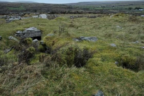
Remains of the hut site with the wall of the enclosure to the left.

Looking south towards the peak of Sliabh Eilbhe.

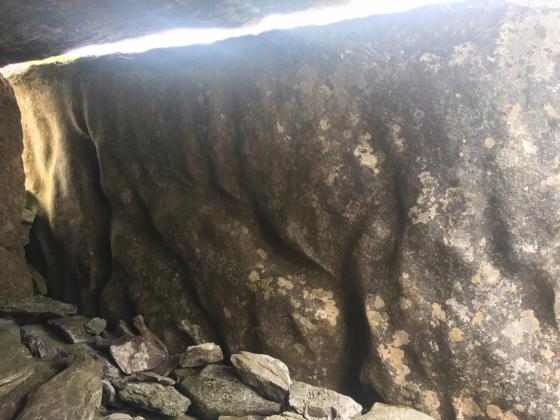
There are a few slabs like this within the enclosure.