
The settlement area on the summit of the hill. The low remains of the single rampart are far left of shot, curving round the contour.
Image credit: A. Brookes (21.9.2019)
The settlement area on the summit of the hill. The low remains of the single rampart are far left of shot, curving round the contour.

The steep slopes on the northwestern side.

The northwestern rampart.

Looking southeast from the settlement. The wooded hill is Norton Camp just the other side of Craven Arms.

The hilltop settlement from the southwest.
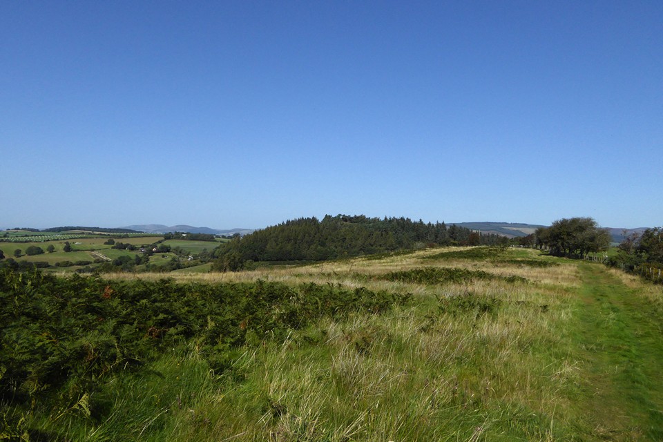
Wooded Wart Hill (centre) from Hopesay Hill to the south. Over to distant left are Corndon Hill and Heath Mynd, straddling the border between England and Wales.


