Looking north west, if sunnier the causeway might have been visible.
Image credit: drew/A/B
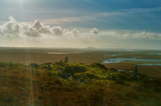
Looking north west, if sunnier the causeway might have been visible.

The start of the causeway is pictured.

Looking towards a shrouded Eaval.
A squelchy walk of about a 1/2 mile along the cliff top from Dun Hornary leads to the better known Dun Ban.
Although it is overgrown the walls are clearly visible and still stand at around 2m in height. It is described as a galleried dun or Broch. Fortunately the causeway can be seen clearly in some pics on the Canmore page. With the weather beginning to close in my pics show dark water but show the beginnings of the causeway. I’d the walking boots on as the wellingtons were still recovering from their exploits in Skye or I would have been tempted to walk across. Apparently it is shallow on the south and deep to the north, so maybe next time.
An impressive site, impressive loch.
Visited 21/7/2019.
Field notes and several great pictures/photos.