The Galgwanderveen Grave Mound as viewed from the approach path through the woodland.
Image credit: Les Hamilton
The Galgwanderveen Grave Mound as viewed from the approach path through the woodland.
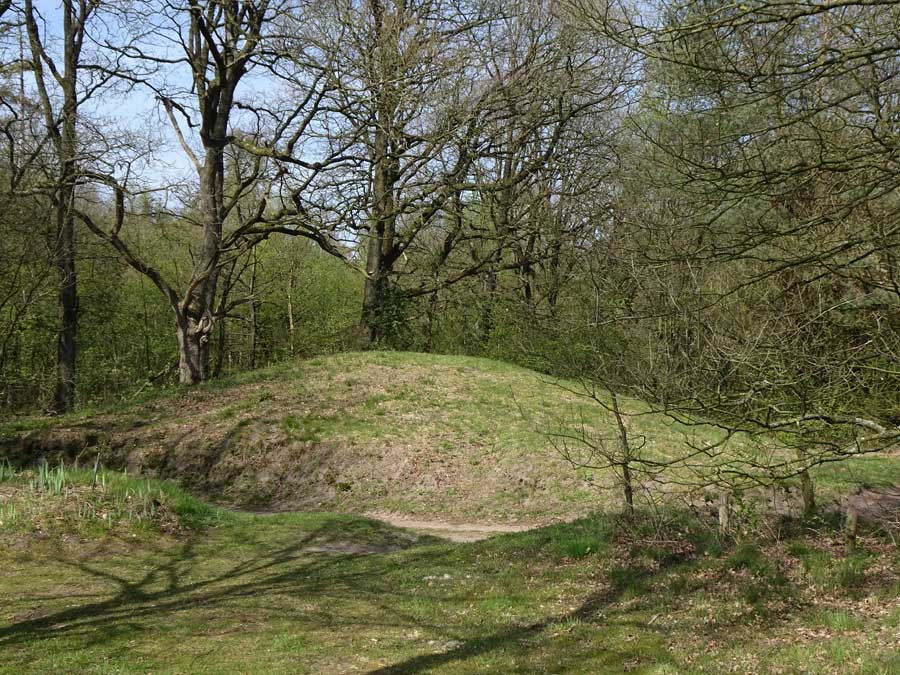
The Galgwanderveen Grave Mound.

The Galgwanderveen Mound in its beautiful lakeside setting.

Close-up view of the grave mound from across the lake.
Visited: April 18, 2019
Galgwanderveen, also known as Braamsplas, is a small kettle-hole lake dating from the last Ice Age. Renowned locally as a fishing lake for carp, it is located 2.5 kilometres south of Anloo and 1.5 kilometres north of Eext.
In the woodland surrounding this lake are five Late Stone Age grave mounds, of which this splendid example (marker ‘G’), located just a few metres from the water’s edge is by far the most impressive, rising to almost four metres in height.
The best approach by car is from the village of Eext (at bottom right of the map above), as there is a convenient car park just 200 metres southwest of the mound.
Note
There are grave mounds in several different locations in this area of woodland (the Evertsbos), each identifiable by virtue of its National Monument number.