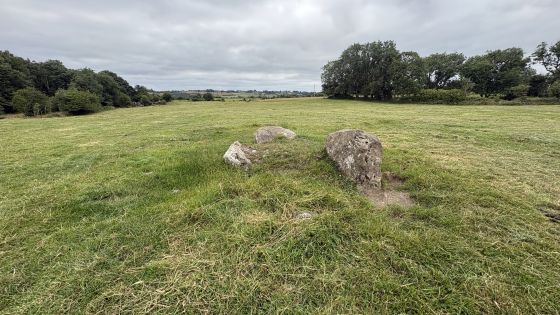
Lisduff, 20/7/18
Image credit: ryaner

Lisduff, 20/7/18

Lisduff wedge tomb.
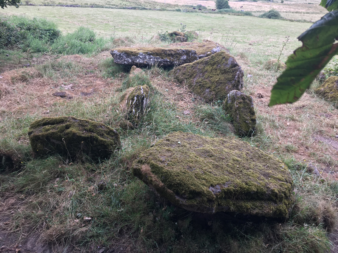
There are some roofstones still in place.

From the rear. There’s quite a bit of it left.
This is the updated note from the SMR at archaeology.ie. It was updated because the monument is now destroyed, obliterated by ignorance. Unbelievable!
There are 4 photos of the monument on the site here, taken in 2018, the year before its destruction, showing a fine wedge tomb with some of its roofstones in situ.
MA112-044---- : Megalithic tomb – wedge tomb : LISDUFF (Clanmorris By., Crossboyne Par.)
Description: In pasture, located at the break of slope on a N–facing slope, which falls to a flat expanse of lowlying wettish pasture. The views to SW, the direction in which the tomb faced, are not extensive, with ground rising to a low ridge in the middle distance. There is a rath (MA112-045----) 20m to SE in the same field, and cist (MA112-108----) is located 100m to SE. This wedge tomb, which is indicated on the 1929 OS 6-inch map as ‘Dolmen’, was destroyed in February 2019. There is now no visible trace at ground level. The tomb consisted of a gallery/burial chamber (L 9.5m; Wth 1.4m) defined by a double wall of upright slabs or orthostats, roofed by flat slabs. It was oriented NE–SW, with the entrance at SW, and was enclosed by remnants of a sod-covered cairn or mound (overall L c. 16m; Wth 7.5m at SW; c. 4.5m at NE) . The attached document includes a detailed description, plan and photograph of how the tomb looked when recorded by Ruaidhrí de Valera and Seán Ó Nualláin in Survey of the Megalithic Tombs of Ireland. Volume II. County Mayo, Dublin: Stationery Office, 1964 (no. 93, p. 83-84). Date of revised upload: 4 March 2019
Six-Inch First edition: Not indicated
Six-Inch Latest edition: Dolmen
ITM Coordinates: 540136 , 768656
Latitude and Longitude: 53.664228 , -8.905800