
Looking to the south.
Image credit: drew/B
Looking to the south.

Looking to the north east.

Western defences.

East to west, the length of the fort.

From the farm and a path leading to the possible front door.
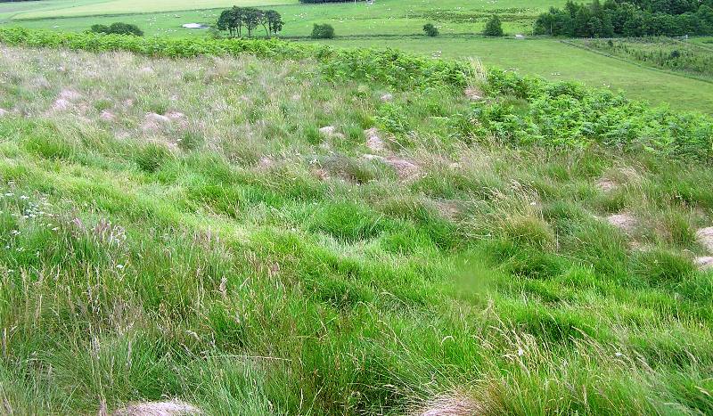
Apart from natural defences there are some man made efforts as well.

Stac Gorm dominates to the west.

Inside the fort, this on the western side.

South west flank, great for sledging.

Heather marks the steepness of the northwest flank.

The view to the north east.

The western defences.

From the Brin barrows.
From Loch Nan Geardas we walked south on B862 until the first minor road heading south, signposted Loch Ruthven. This passes the southern banks of Loch Duntelchaig and the hut circles of Dalcrombie. A serious walk with some serious long climbs but with magnificent scenery. Included in the scenery is Loch Ruthven, looking south west the crannog can be seen in the distance and also the enclosure at Tom Buidhe. The road continues above the north side of the loch gradually heading downhill towards Tullich and a sharp turn heading south. This leads to the nature research reserve at Loch Ruthven and another possible crannog at the lochs eastern end. From here its follow the road until its end at the small village of Croachy and the B851. It also looks straight up at Carn Mor, the start of my next hike.
Head north from Croachy following the road as it winds its way through the glorious, and very hot, Strathnairn countryside. Once past the Tomintoul farm Creagan an Tuirc comes clearly into view.
Situated opposite the Brin Rock (and Brin School, home to 5 barrows) it is an impressive sight with the fort perched on top of the 263 feet high hill. The farmyard has a track, fairly steep, heading north which leads to the front door of the fort, its south west. Once at the top it is easy to see that the builders have made use of the natural defences as well as building their walls. These walls are almost 3m wide in parts and almost surround the fort except for the east, severe cliffs see to that, at their highest 1m. It is a stunning place with stunning views.
A good place to have a long look about as Strathnairn is one of my favourite areas. One more place to go, the barrows across the road at the former Brin School.
Visited 1/7/2017.


