Image credit: Derfel

Looking down on Porth Neigwl/Hell’s Mouth and Mynydd Cilan.

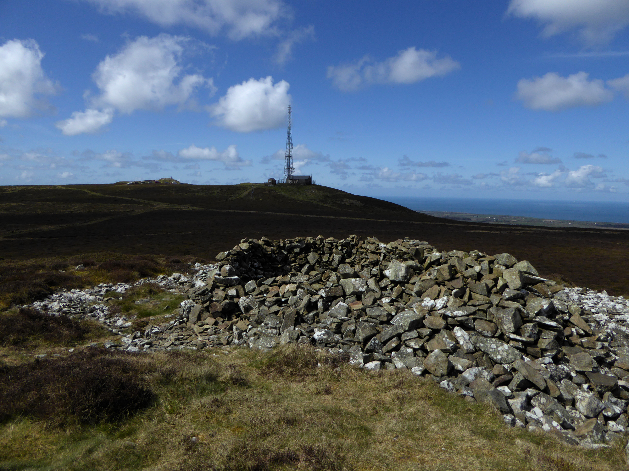
Looking – somewhat wonkily – from Cairn V to prominent Cairn IV and the site of Cairn I (where the mast is now).

The very spread out Cairn V, hardly recognisable as a cairn.

Cairn IV profiled against beautiful April skies.

Looking down on the weirdly spread Cairn V from Cairn IV. The prominent hill is Carn Fadrun, which dominates the whole of the immediate area. Beyond that rise the peaks of Yr Eifl.

Looking from Cairn IV towards Cairn III (middle distance) and Cairn II (on the high point).

The impressive Cairn IV. Yr Wyddfa, Moel Hebog and the Moelwyns can be seen faintly on the right skyline.

Low Cairn III, with Cairn II on its prominent knoll to the south. The arc of stones on the right may be the remainder of a kerb.

The low spread of Cairn III in the foreground, with Cairn IV, the best in the group beyond. Carn Fadrun is the prominent hill on the distant right.

The more intact side of Cairn II.
Looking across the trashed top of Cairn II towards the site of Cairn I, destroyed by the building of the radio transmitter.

Cairn II, at the southern end of the linear group.

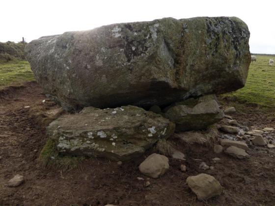
The fairy hillock of Clip y Gylfinhir (see folklore) at the southern end of Mynydd Rhiw.
At the southwestern end of Mynydd Rhiw there is a very prominent conical outcrop called Clip y Gylfinhir:
Mrs Williams, of Pwll Defaid, told me that the rock opposite, called Clip y Gylfinhir, on Bodwydog Mountain, a part of Mynydd y Rhiw, was the resort of the Tylwyth Teg, and that they revelled there when it was covered in mist; she added that a neighbouring farm called Bodermud Isa’, was well known at one time as the place the fairies came to do their baking.
From Celtic Folkore – John Rhys (1901)
The name translates at Crag of the Curlew (literally “long beak”).
There are four cairns in a linear group towards the northern end of the summit ridge of Mynydd Rhiw. A further cairn was destroyed by the erection of the radio transmitter to the west of this group.
Coflein details, south to north:
Cairn I (destroyed) (SH2297229496)
No trace of this cairn survives; it was removed during the construction of a radio station and mast. In 1939 it was described as being 18m in diameter.
Cairn II (SH2325029497)
Cairn situated on a prominent SW to NE aligned ridge of volcanic rock crossing the summit of Mynydd Rhiw.
An impressively sited cairn, comprising a max 17m diameter spread of stone that falls away down the hillslope. Within this spread there is a 6m diameter core some 1.5m high, within which a modern structure/shelter has been constructed.
Cairn III (SH2327429600)
The cairn is situated just 9m south of and below a more prominent cairn (Cairn IV). It comprises a low spread of stone 14m in diameter and 0.5m high into which a recent structure has been constructed. Around the north-west edge of the cairn, a series of stones may represent the original kerb.
This cairn appears to have been used as a sighting point on the line of the Parish Boundary. The boundary runs up and changes direction at the cairn and there is some suggestion that parts of the parish boundary may have earlier antecedents.
Cairn IV (SH2327829625)
The cairn sits on a high point of the ridge and is one of the largest, comprising a wide spread of stone 23m in diameter that is partly mixed with natural scree. Within this spread a 10m diameter pile stands up to 3m high and has a number of modern structures/shelters constructed in it.
Cairn V (SH2330429679)
The cairn comprises a spread of stone 12m in diameter, of which some material has fallen down the slope. The cairn stands up to 0.7m in height and is comprised sub-angular stones 0.2m to 0.4m in size. A small modern cairn has been constructed onto this cairn.