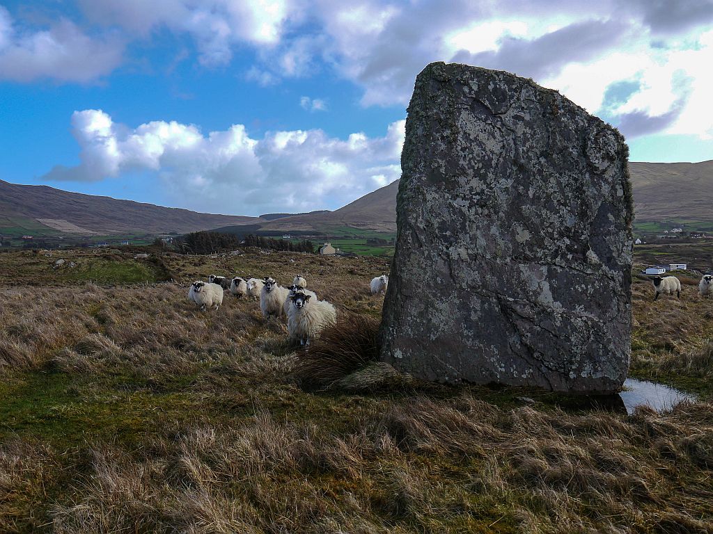
The Modern Antiquarian
Log in
|
Register
Home
Latest Posts
Forums
Maps
Help
Browse Sites
News
Blog
Contributors
The Books
Select
-
Belgium
Denmark
Eire
France
Germany
Greece
Italy
The Netherlands
Norway
Portugal
Republic of Malta
Spain
Sweden
Switzerland
United Kingdom
County Cork
Ardacluggin
Standing Stone / Menhir
Ardacluggin (Standing Stone / Menhir) on The Modern Antiquarian, the UK & Ireland's most popular megalithic community website. 4 images, plus information on many more ancient sites nearby and across the UK & Ireland.
Image © Michael Mitchell
Nearest Town:
Sneem (19km N)
OS Ref (IE):
V619492 /
Sheet: 84
Latitude:
51° 40' 42.32" N
Longitude:
9° 59' 48.65" W
Added by
Meic
Images (4)
0 discussions
Start a topic
Show |
Hide
Web searches for Ardacluggin
Flickr
Google
Google Images
The Megalithic Portal
Bing
Stone Pages
Wikipedia
Show map
(inline Google Map)
- Sites within 20 km -
-
Ardacluggin (0.71km SSE) (1 post)
Coulagh (1.25km ENE) (5 posts)
Urhin (1.38km WSW) (5 posts)
Coulagh (1.72km ENE) (1 post)
Kealoge (2.86km WSW) (6 posts)
Teernahillane (3.29km ESE) (4 posts)
Teernahillane (3.38km ESE) (9 posts)
Teernahillane (3.99km ESE) (3 posts)
Teernahillane (3.99km ESE) (1 post)
Hag of Beara (4.38km NNE) (9 posts)
Knockoura (4.65km SE) (2 posts)
Kealoge (5.06km S) (3 posts)
Gour (5.07km SE) (10 posts)
Ballycrovane (5.29km NE) (18 posts)
Derreenataggart West (5.32km E) (31 posts)
Fanahy (5.33km ESE) (4 posts)
Kilmackowen (6.08km ENE) (9 posts)
Kilmackowen (6.18km ENE) (17 posts)
Derreenataggart Middle (6.28km E) (2 posts)
Cloontreem (7.48km E) (15 posts)
Rodeen 3 (7.51km E) (4 posts)
Rodeen 1 (7.58km E) (3 posts)
Derrymihin West (7.63km E) (3 posts)
Rodeen 2 (7.83km E) (5 posts)
Cahermore (8.07km S) (5 posts)
Killough West (8.75km SW) (9 posts)
Ardgroom Outward (10.67km NE) (34 posts)
Loughane More (11.25km SW) (6 posts)
Glashananinnaun (12.34km NE) (5 posts)
Caherdaniel (12.47km WNW) (4 posts)
Darrynane More (12.8km WNW) (8 posts)
Staigue Bridge (12.83km NNW) (13 posts)
Staigue (12.93km NNW) (0 posts)
Coomnahorna East (13.16km NW) (0 posts)
Staigue Cashel (14.1km NNW) (21 posts)
Cahernageeha (14.28km WNW) (5 posts)
Gort na Gainimhe (14.51km WSW) (6 posts)
Shronebirrane (14.8km ENE) (22 posts)
Cashelkeelty NW (15.26km NE) (12 posts)
Cashelkeelty SE (15.4km NE) (13 posts)
Coomatloukane North (15.6km WNW) (11 posts)
Coomatloukane (15.66km WNW) (16 posts)
Coomgira (16.24km ENE) (6 posts)
The Waters (16.38km WSW) (3 posts)
Loher (16.66km WNW) (15 posts)
Reenkilla (17.1km ENE) (5 posts)
Clogherane (17.86km ENE) (3 posts)
Clogherane (17.91km ENE) (3 posts)
Eightercua (18.79km WNW) (22 posts)
Lehid (19.58km NE) (2 posts)
Waterville (19.98km WNW) (3 posts)
- Add -
-
Add news
Add an image
Add fieldnotes
Add folklore
Add miscellaneous
Add a link
-
Add a site
Add a nearby facility
Add an alternative name/spelling
Images
(click to view fullsize)
Add an image