The Modern Antiquarian. Stone Circles, Ancient Sites, Neolithic Monuments, Ancient Monuments, Prehistoric Sites, Megalithic MysteriesThe Modern Antiquarian


Lios na Ratha/Loughane East

Rath

<b>Lios na Ratha/Loughane East</b>Posted by ryanerImage © ryaner
Nearest Town:Blarney (4km ESE)
OS Ref (IE):   W574783 / Sheet: 80
Latitude:51° 57' 19.16" N
Longitude:   8° 37' 11.04" W

Added by ryaner


Discussion Topics0 discussions
Start a topic


Show  |  Hide
Web searches for Lios na Ratha/Loughane East
Show map   (inline Google Map)

Images (click to view fullsize)

Add an image Add an image
<b>Lios na Ratha/Loughane East</b>Posted by ryaner <b>Lios na Ratha/Loughane East</b>Posted by ryaner <b>Lios na Ratha/Loughane East</b>Posted by ryaner

Miscellaneous

Add miscellaneous Add miscellaneous
From archaeology.ie:

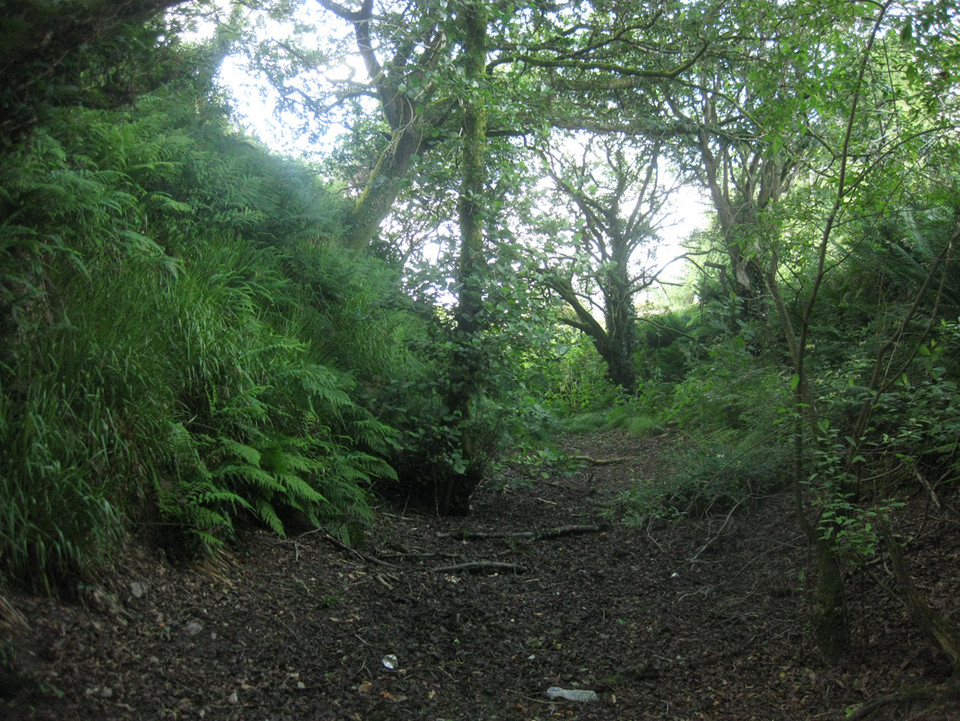
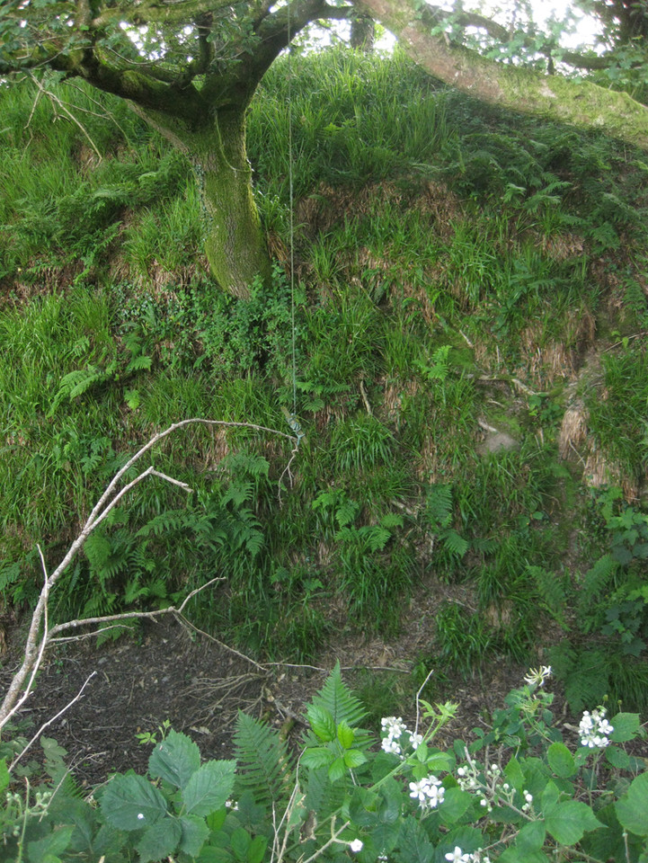
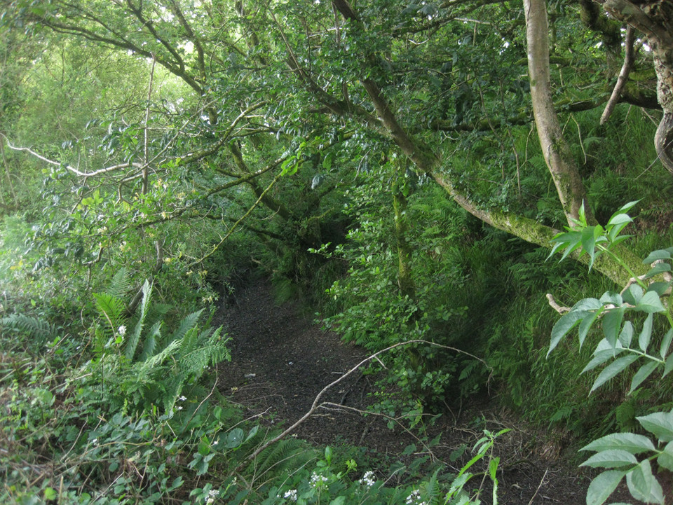
Description: In pasture, on SW-facing slope. Circular area (91.4m N-S; 90.4m E-W) enclosed by substantial earthen bank (int. H 3.4m) with external fosse (D 2.65m). Low earthen field boundary (H 0.4m) at outer edge of fosse, stone faced externally. Gap (Wth 3m) in bank to SSW. Second gap (Wth 4.8m) to E with causeway across fosse; sides of gap cut back by machinery, giving vertical sections through bank. Fosse waterlogged to E; according to Hartnett (1939, 288), spring in fosse to S of entrance (causewayed gap). Possible souterrain (CO062-135002-) in interior; interior ploughed c. 1984.

The above description is derived from the published 'Archaeological Inventory of County Cork. Volume 3: Mid Cork' (Dublin: Stationery Office, 1997). In certain instances the entries have been revised and updated in the light of recent research.

Date of upload/revision: 14 January 2009

Date of last visit: 18 November 1993
ryaner Posted by ryaner
6th July 2014ce