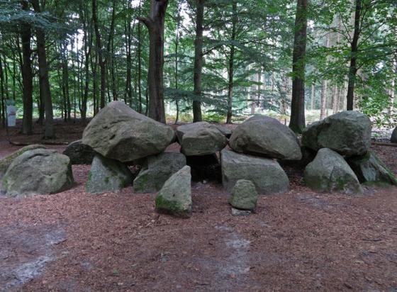
The Stakenberg burial mound in the Ballooerveld.
Image credit: Les Hamilton
The Stakenberg burial mound in the Ballooerveld.

The Stakenberg burial mound in the Ballooerveld.
Visited: April 13, 2014
The Stakenberg is one of the largest of the many burial mounds to be found in the Balloërveld, to the north of the villages of Balloo and Rolde. The name of this mound translates as Stake Mountain, and probably derives from the fact that in former times, a pole marked its summit for waymarking purposes.
In 1933 archaeologist A E van Giffen examined this mound, finding pieces of charcoal and cremated remains. Also present were an earthenware dish and two bronze earrings. These objects from the grave goods accompanying the deceased date this hill to the Middle Iron Age, around 400 BCE.