The hill from the WSW, near Monzie stone circle. The small fort occupies the very top of the hill.
Image credit: A. Brookes (6.10.2016)
The hill from the WSW, near Monzie stone circle. The small fort occupies the very top of the hill.

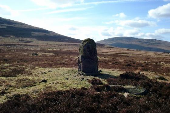
10/11/2012 – Milquhanzie Hill Fort. Not much to see really.

10/11/2012 – View south from Milquhanzie Hill Fort

10/11/2012 – Milquhanzie Hill Fort