Looking South West along the track which eats into the side of the barrow while drunkenly swerving around it.
Image credit: A R Cane
Looking South West along the track which eats into the side of the barrow while drunkenly swerving around it.

Looking North East.

looking South West back towards Arundel.

This is a bit of a curiosity. It’s just a couple of hundred yards south of the Burgh and maybe where the Burgh barrow gets its name from. I presumed it to be a massive dew pond (130 feet across!) when I saw it a few years ago, but apparently not so and it’s not shown as such on the OS map either. Possible explanations are a ‘siege fort’ or animal enclosure but nobody really seems to know.
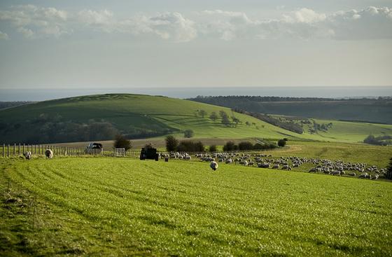
This solitary barrow sits on the edge of a track which diverts from the South Downs Way at Springhead Hill leading South West towards Burpham and North Stoke. There are superb views across the rolling downland hills and on this particular day a spectacular sunburst above Arundel Castle (Camelot!)
I like the fact that this barrow has a name as so few round barrows do, although I suppose they all did to begin with, they just got lost in the mists of time. This one, I believe, is a Saxon name and might possibly be connected to the strange earthwork slightly South of it. This looks like a giant dew pond but apparently isn’t. Possible explanations include a siege fort or animal enclosure. The latter would seem a more obvious choice as there are nearby field systems (celtic or medieval?) and it’s deep in livestock grazing country.