Southern tip of the fort looking down on the meeting place of the three glens.
Image credit: drew/amj
Southern tip of the fort looking down on the meeting place of the three glens.

East side.

West side of the fort.

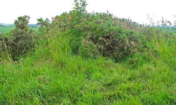
From the forts interior looking west.

The eastern boundary, looking onto the meeting place of three valleys/glens.

The forts’s interior. (the field note for this place will be good!)
At Pennan, the Local Hero village, travel south on the minor road for two miles, past the Cummertown cairns, until a radio mast can be seen to the east. At that point on the western side their is a forked track, take the track that goes in a south westerly direction. Follow this for a 1/2 mile and then its cross country. I headed straight east, the heather is knee deep until the first small valley. Fortunately the stream is dry so I followed the bed north which leads to the Stormy Burn. This is more of a bog so watch were you place your feet. The climb at the other side is short and very steep. Head east again, cross another burn, climb a fence and make for the top of the hill then turn south. The fort is in the junction of three valleys being located in a very beautiful place.
Canmore have fortunately put up aerial foties (see links) which gives a good idea of the forts shape. The east and west ramparts are just visible but are crowned with ferns and whin bushes, the entrance to the fort being in the north. Various hut circles are nearby so another visit will be required. However the fort is still used. As I walked thru the fort a wily badger watched me the whole time from underneath a jabby thing. Only hiding when I tried to take a fotie. Deer ran about the forts interior and to the northern side foxes ran about playing in the heather. This is an unspoilt part of the NE so I hope it stays that way.
So after some quality silence it was time to head back. After seeing some red squirrels at the first burn crossing things went somewhat pear shaped. As well as getting lost it was beginning to get dark. Eventually I found a path heading in a north easterly direction but my luck had ran out. The previously mentioned Stormy Burn had a victim as I stumbled down the steep bank and landed up to my waist in water and boggy muck. What mess and what a stink. The walk to the car being a squelchy nightmare. At least I had towels, water and a change of clothes in the car!
Visited 23/06/2010.
Some excellent aerial foties. But what a place to find, thats an adventure in itself!