|
|

|
|
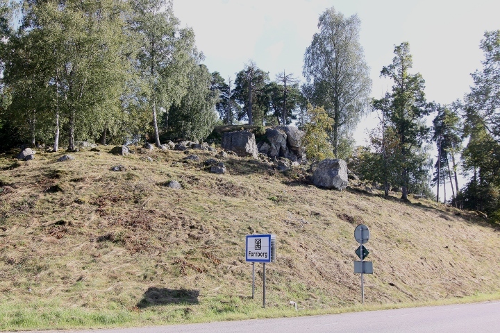
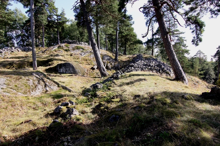
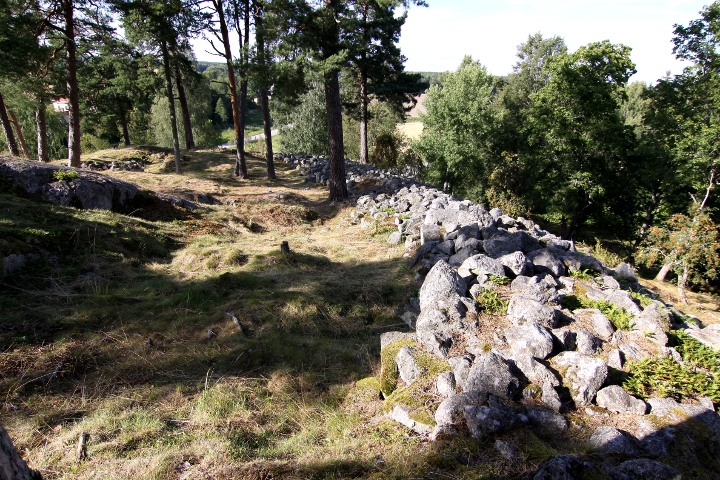
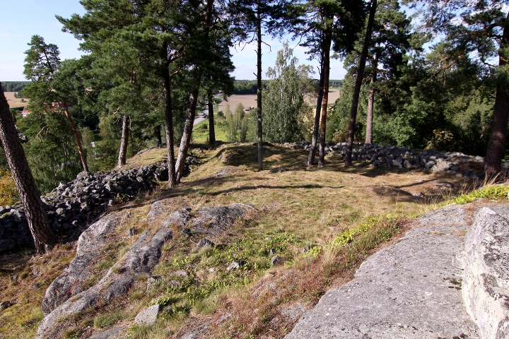
ViksbergetHillfort
|
||||||||||||||||||
|
|
|
Images (click to view fullsize) |
|
|
Fieldnotes |
|
|
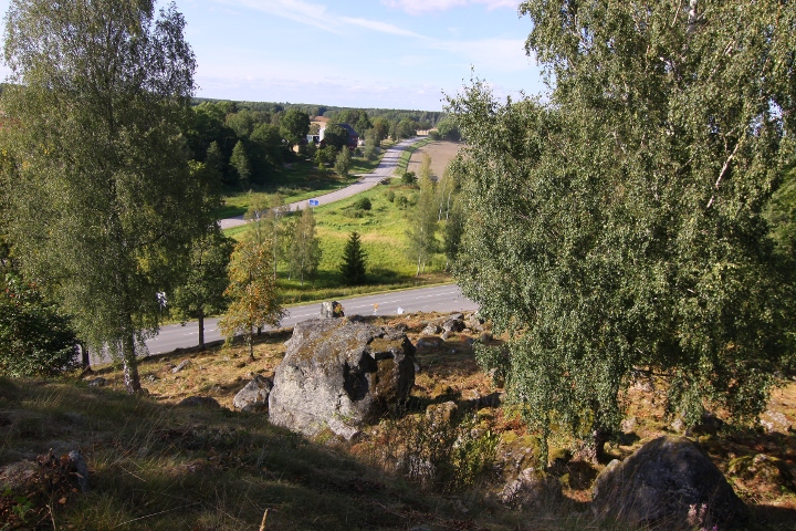
The hill fort Viksberget has not been dated, but dated hill forts in the area are mainly from 400-600CE. The size is about 75 x 50 metres, with a 150 metres long wall. In the south part steps has been built in later times. The round wall on the top, 6 metres in diametre is also built in later times. It was useful once again in WW2, when the Swedish army built the terrace found about 30 metres east of the fort, with the size 8 x 7 metres, using it for looking for foreign aircrafts. This task was often executed by women, who was called 'swifts' (the bird) Info board on site in Swedish and a little English. How to get there: The site is on the east side of the crossing between road 56 and road 214, about 19 kilometres north of Katrineholm. Drive 150 metres east on road 214, and you'll find the site and a parking spot on your right. |
Posted by L-M K 1st September 2009ce Edited 7th September 2009ce |