The northern flank, looking east.
Image credit: A. Brookes (11.2.2022)
The northern flank, looking east.
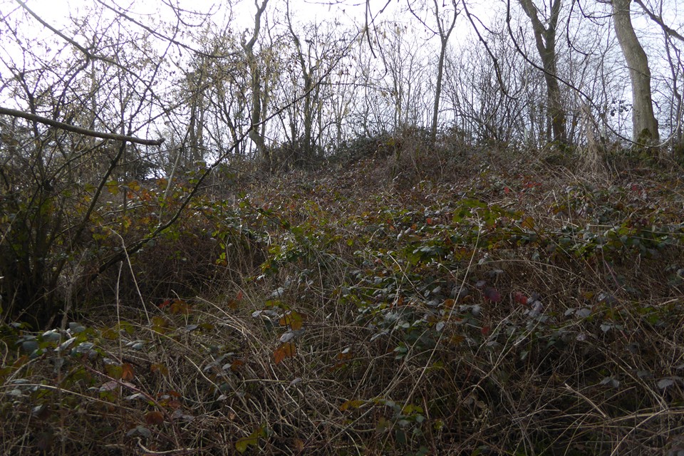
The very overgrown northern rampart.

Looking east from the eastern rampart.

The low eastern rampart.

The fort is in the trees. Seen from the east.

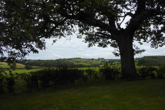
The fort is on the ridge, centre. Seen from across the shallow valley to the south. The fort appears to have no defences at all on this side.
‘Drive by’ 19.4.13
Directions:
From Leominster take the A44 east.
Shortly after passing through Docklow there is a turning on the left for Uphampton Farm.
The Hillfort is situated on the summit of the hill behind the farm.
There is a public footpath running from Docklow, past the farm, and up past the eastern side of the Hillfort.
I didn’t have time to walk up to the Hillfort but could see the trees crowning the site from the A44.
Although marked on the O/S map E.H. strangely have nothing to say on the matter?
One for another day perhaps?
From “Herefordshire Register of Countryside Treasures” (1981 H&WCC):
“Uphampton Hill Fort, Docklow
Only a low bank, 1-2 metres high, now marks the site of what has been claimed to be an Iron-age hillfort. It has been suggested that the camp may have been started, but never completed.
Location
Along overgrown footpaths from minor road to Hatfield at E side of camp and in wood on N side of hill top between Pudlestone and Docklow.”