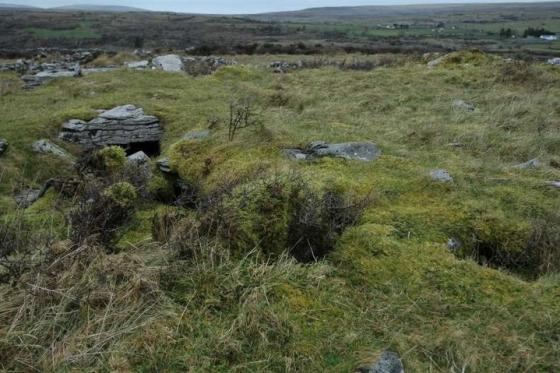
Historic photograph of 1902 Cappaghkennedy Wedge Tomb. (Be sure to double click on the image for enlarged photo and also to reveal details of the historic photo.)
Sites within 20km of Cappaghkennedy
-
Slievenaglasha
description 4 -
Tullycommon (Cl. 54)
-

Castletown
photo 4 -

Tullycommon
photo 4 -

Cahercommaun
photo 19forum 1description 2link 1 -

Creevagh
photo 29description 1link 1 -

Coolnatullagh
photo 3 -

Commons North (Cl. 56)
photo 4 -

Coolnatullagh
photo 2 -

Meggagh
photo 3description 1 -

Eanty More
photo 4 -

Rannagh West
photo 2 -

Leana (Cl. 57)
photo 3 -

Coolnatullagh
photo 2description 1 -

Coolnatullagh
photo 2 -

Fanyglavin
photo 11description 1 -

Cahermackirilla
photo 2description 1 -

Leana (Cl. 68)
photo 15description 1 -

Leana
photo 7 -

Leana
photo 2 -
Commons North (Cl. 65)
-

Poulaphuca
photo 7 -

Parknabinnia (Cl. 66)
photo 11 -

Parknabinnia (Cl. 67)
photo 25description 2 -

Moheramoylan (Cl. 30)
photo 1 -

Parknabinnia (Cl. 153)
photo 7 -

Parknabinnia (Cl. 69)
photo 2description 1 -
Parknabinnia (Cl. 59)
-

Carran
photo 3 -

Ballymihil
photo 5description 1link 1 -

Parknabinnia
photo 3 -

Parknabinnia (Cl. 61)
photo 4 -
Parknabinnia (Cl. 62)
-
Parknabinnia (Cl. 60)
-

Boloona
photo 4 -

Caherconnell
photo 7description 1 -

Poulawack II
photo 3description 1link 1 -
Poulawack Souterrain
photo 6 -

Poulawack
photo 11description 2 -

Poulnabrone
photo 51ondemand_video 1forum 6description 5 -
Iskancullin
link 1 -

Ballyganner North III
photo 6description 1 -
Slievecarran
-

Ballycasheen
photo 1description 1 -

Clooneen
photo 5description 1 -

Ballyganner South
photo 2description 1 -
Ballyganner South II
-

Ballyganner North II
photo 5description 1 -
Baur North
-

Baur South
photo 7description 3 -

Baur South
photo 3 -

Gleninsheen
photo 10 -

Gleninsheen
photo 16description 2link 1 -

Turlough Hill/
Knockycallanan photo 7 -

Ballyganner North
photo 6 -

Turlough Hill/
Knockycallanan photo 11 -

Berneens
photo 8 -
Baur South
-

Baur South (Cl. 26)
photo 5description 1 -
Ballyganner South
photo 6 -

Lissylisheen
photo 2 -
Moyree Commons
photo 10 -

Ballyallaban
photo 2 -

An Ráth
photo 6 -
Ballykinvarga
-

Cahermacnaghten
photo 5 -

Cahermore
photo 3 -

Caherphuca
photo 7description 1 -

Killian
photo 1description 1 -

Faunarooska (Cl. 5)
photo 4 -
Ballynastaig
-
Ballynastaig
-

Faunarooska (Cl. 4)
photo 2 -

Faunarooska (Cl. 3)
photo 2 -
Crannagh
-

Crannagh
photo 10 -

Doorus
photo 4 -

Derrynavahagh
photo 11description 1 -
Ballynastaig Souterrain
-

Ballynastaig
photo 8description 2 -

Derrycallan
photo 3 -

Aughinish
photo 6description 1 -
Lissateeaun
description 1 -

Ballytarsna
photo 1description 1 -

Lydacan
photo 4 -

Gleninagh North
photo 4description 1 -

Ballyelly
photo 5description 1 -

Ballyelly Hut Site
photo 4 -

Curraghadoo
photo 3description 1 -

Kilcrimple
photo 1description 1