Northern chamber in the souterrain.
Image credit: ryaner
Northern chamber in the souterrain.

Hut sites and souterrain entrance.

Over the souterrain entrance towards Castlewellan Forest Park.

Pano looking north-west.

Taken 12-03-05

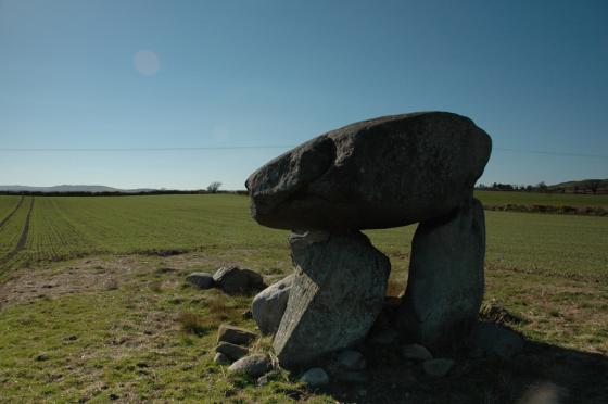
Drumena Cashel looking westward.
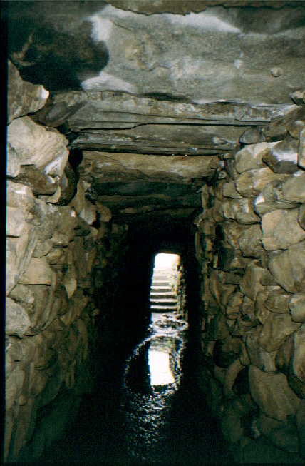
Souterrain

Cashel wall and souterrain entrance.