The fenced-off Welsh Way section.
Image credit: A. Brookes (9.6.2019)
The fenced-off Welsh Way section.

Cutham Lane section.

Standing on top of the bank, Cutham Lane.

Impressive bank towards the southern end of the Cutham Lane section.
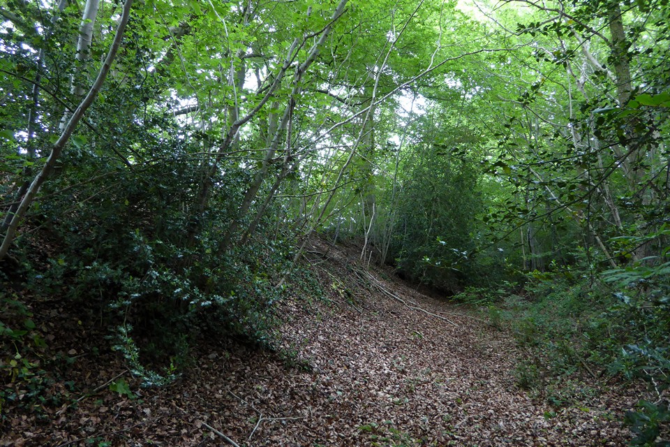
Looking north along the Cutham Lane section.

Ivy-covered section on Cutham Lane.

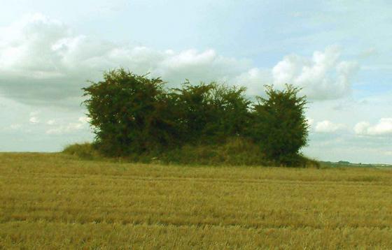
The Welsh Way section – part of the bank can be seen in the centre of the picture in the direct sunlight.


Cutham Lane section.

Overgrown part of the Cutham Lane section.

Looking north along the Cutham Lane section.
Walked here from Shawswell Farm long barrow to the north, via Woodmancote. The first part of the extensive earthwork encountered from this direction is Scrubditch, at SP011077. Most of this is obscured by undergrowth and is not visible from the footpath.
Carry on along Cutham Lane and the best preserved section lies immediately adjacent to the west side of the road. Other lines of ramparts are extant on the east side, but were invisible in the ploughed fields. The section along the west of the road is a bank and ditch, getting deeper/higher the further south it goes. The undergrowth also gets thinner and access is easier. This is the best section to see.
Another large section runs east-west along the side of Welsh Way, but much of this is fenced off.
Taken from
bbc.co.uk/news/uk-england-gloucestershire-12499444
Bagendon Settlement near Cirencester
Head south on the A429 (Fosse Way) to Cirencester. Follow the Bypass to the A435 (Cheltenham Road). Head north and Bagendon is signposted on the left. The Iron Age banks and ditches are widespread but are most visible along Cutham Lane and Welsh Way.
In historical terms, Cirencester’s heritage is impressive. As Corinium it was the second largest town in Roman Britain with a military base, a large forum, basilica and an amphitheatre. But just north of the town lay the likely remains of a tribal capital older than Cirencester. Bagendon was home to a Celtic people called the Dobunni whose territory was centred on what are now the western counties of England including Gloucestershire and northern Somerset. About half a mile east and south east of the village is a system of scattered Iron Age ditches sometimes called the Bagendon Dykes built in about AD20. In total the Dubonni enclosed about 200 acres here and there’s evidence that within its walls they constructed stone-floored, half-timbered huts with thatched roofs and even a mint for the production of silver and bronze coins. They were relatively sophisticated with a system of livestock farming on the Cotswold hills (cattle, sheep and pigs) as well as an established trade in imported pottery and jewellery from the continent.
Modern Bagendon is an archetypal Cotwold village with many attractive stone dwellings and a thatched cottage beside the small parish church. Excavations took place in the village in the mid 1950s and again in 1980-81. To experience more about the area, history lovers should head for the Corinium Museum in Park Street, Cirencester. The award-winning attraction is home to one of the largest collections of Romano-British antiquities in Great Britain and holds more than one million items in total. Admission is charged and opening times vary, so you’re advised to check before visiting.
James Dyer (“Discovering Prehistoric England” (Shire 2001)) mentions that these earthworks enclose a massive 80 hectares and may have been the tribal headquarters of the Dobunni, occupied in the early years CE.