The Modern Antiquarian. Stone Circles, Ancient Sites, Neolithic Monuments, Ancient Monuments, Prehistoric Sites, Megalithic MysteriesThe Modern Antiquarian


Upper Ord

Stone Circle

<b>Upper Ord</b>Posted by thesweetcheatImage © A. Brookes/AMJ (17.3.2011)
Nearest Town:Huntly (13km N)
OS Ref (GB):   NJ482269 / Sheet: 37
Latitude:57° 19' 47.06" N
Longitude:   2° 51' 37.53" W

Added by tiompan


Discussion Topics0 discussions
Start a topic


Show map   (inline Google Map)

Images (click to view fullsize)

Add an image Add an image
<b>Upper Ord</b>Posted by thesweetcheat <b>Upper Ord</b>Posted by thesweetcheat <b>Upper Ord</b>Posted by thesweetcheat <b>Upper Ord</b>Posted by thesweetcheat <b>Upper Ord</b>Posted by drewbhoy <b>Upper Ord</b>Posted by drewbhoy <b>Upper Ord</b>Posted by drewbhoy <b>Upper Ord</b>Posted by tiompan <b>Upper Ord</b>Posted by tiompan <b>Upper Ord</b>Posted by tiompan <b>Upper Ord</b>Posted by tiompan

Fieldnotes

Add fieldnotes Add fieldnotes
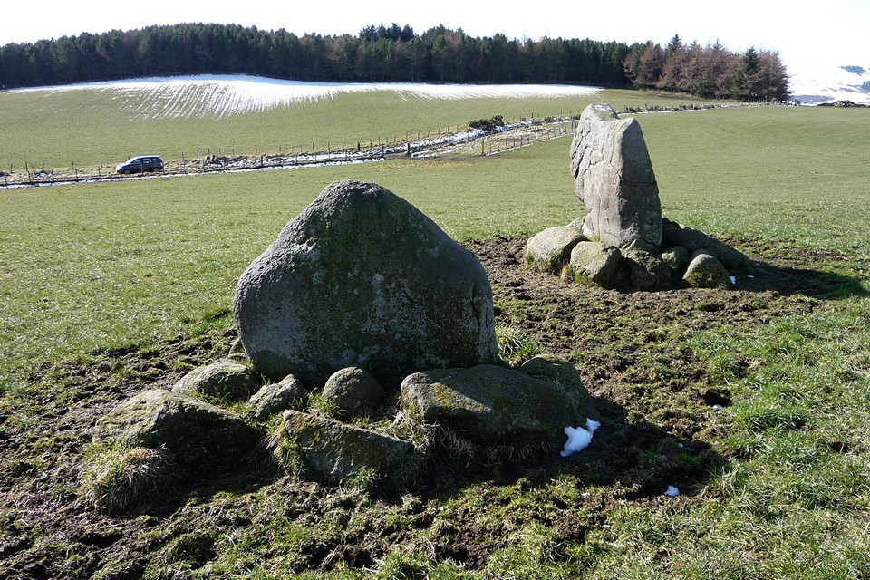
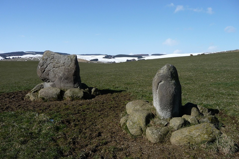
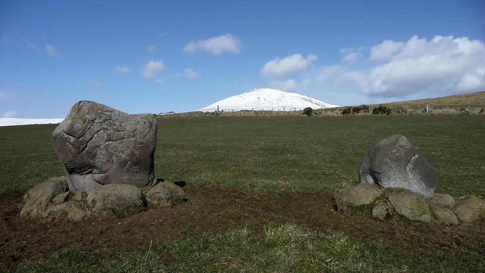
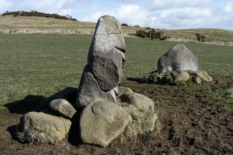
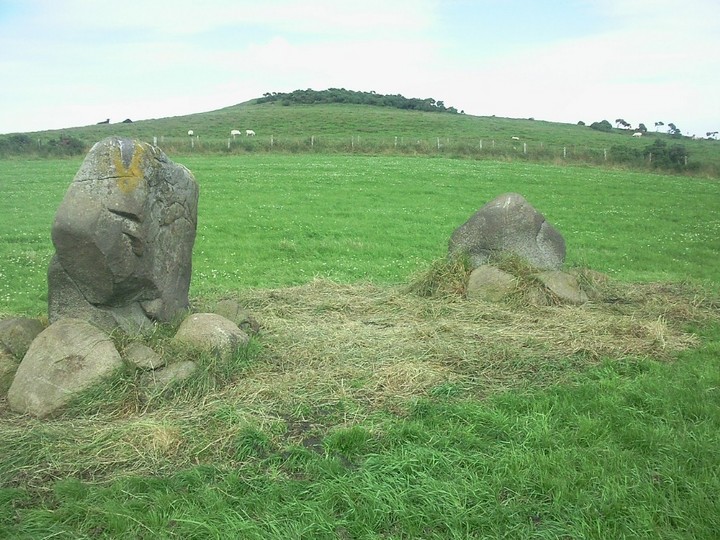
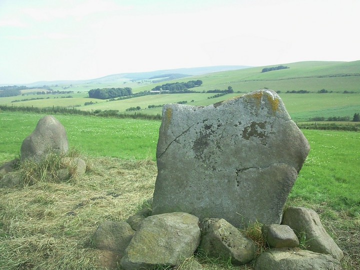
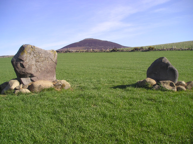
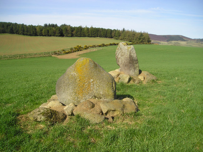
The remains of a possible recumbent stone circle . The area to the west has turned up some marked rocks , a rarity in the county. The hill in the pics is Tap o' Noth and the azimuth from stones to summit is within 0.4 of a degree from true North. tiompan Posted by tiompan
8th May 2006ce

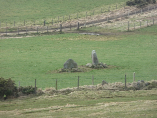
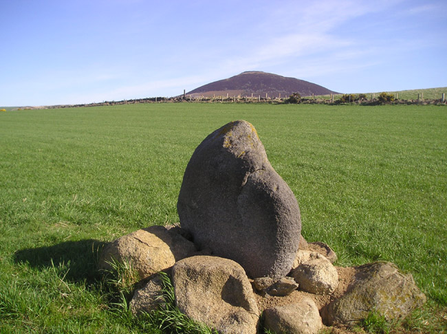
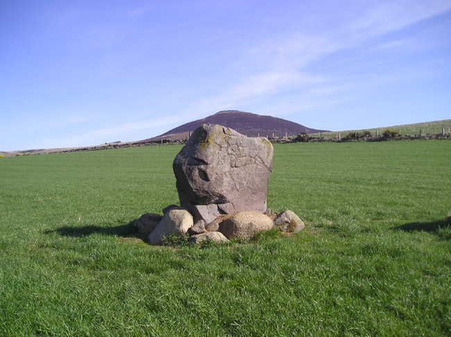
Back towards Tap O'Noth by 500 metres from the Cnoc Cailliche stones, and the stones here at Templand appear tiny in their field until we realise that the grass isn't grass, it's knee-deep young wheat that prevents us getting right up to the stones. Modern Antiquarian says two stones, OS map says remains of a stone circle. From here Tap O'Noth is again a peak only, and, as Cope say, a pretty precise Dunnideer shape, in fact. When you think how familiar the builders were with this landscape and the shapes of the hills on it, and their obvious reverence for Dunnideer, the positioning of these stones must surely have been to deliberately to give this effect. Posted by Merrick
7th August 2000ce
Edited 12th April 2013ce