|
|

|
|
PitnacreeRound Barrow(s)
|
||||||||||||||||||||||||
|
|
|
Images (click to view fullsize) |
|
|
Fieldnotes |
|
|
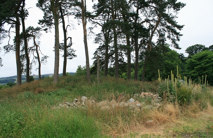
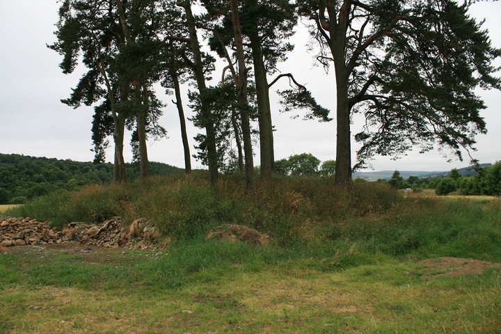
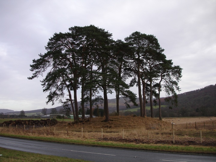
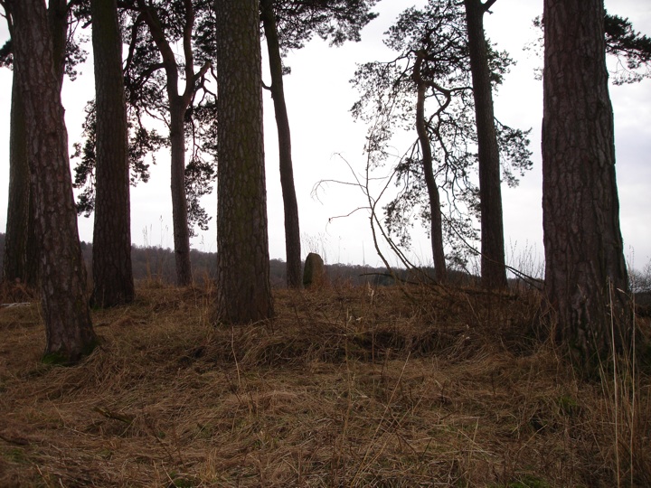
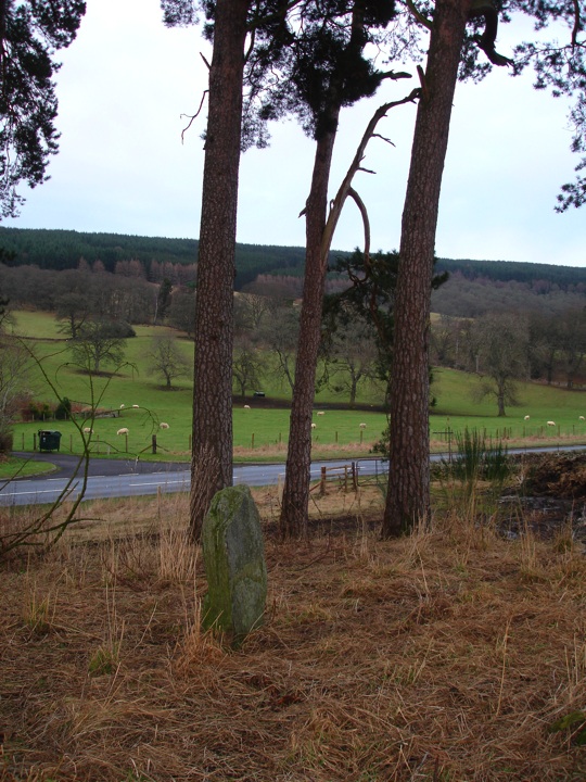
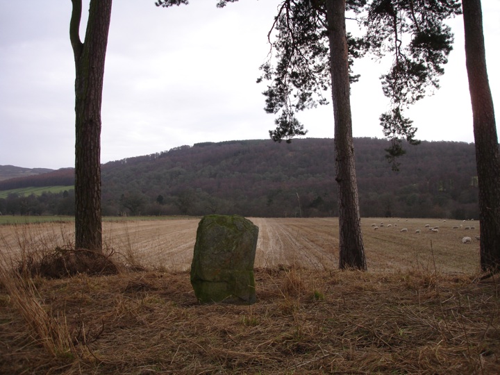
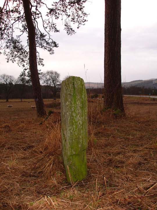
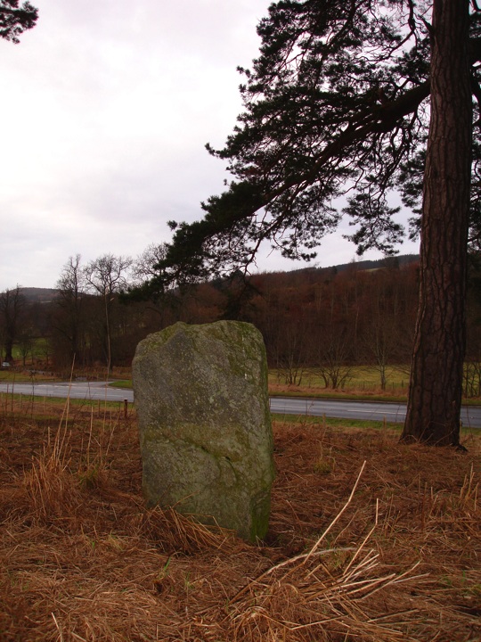
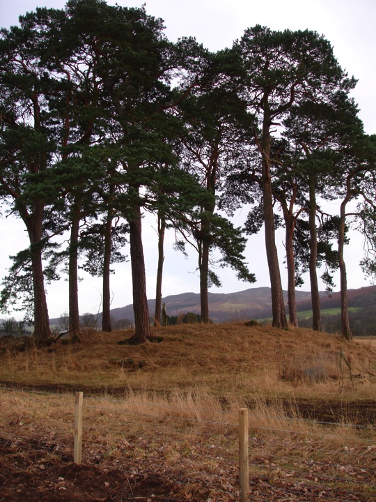
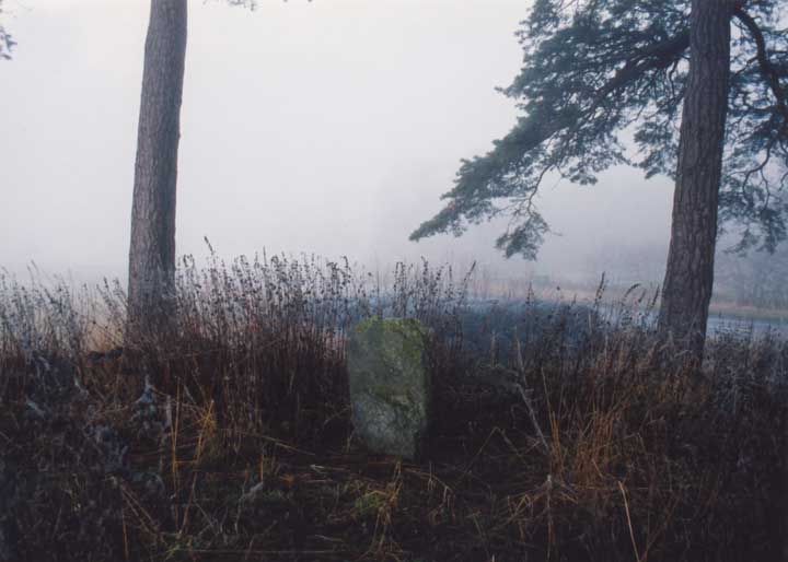
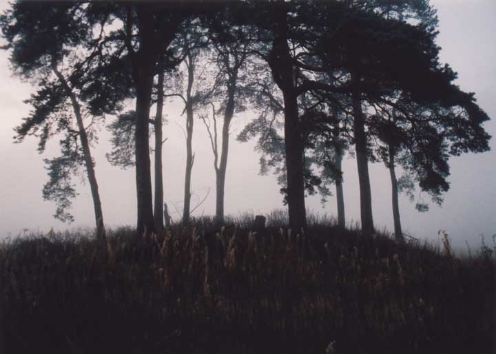
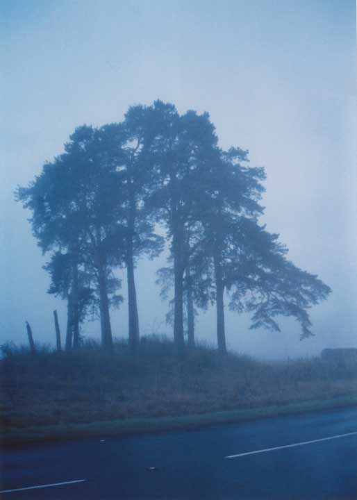
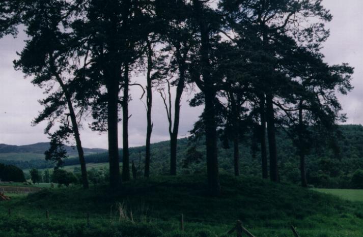
Visited 16.6.12 Access is easy although parking on the busy A827 isn’t. This is a very large Barrow, next to the road, which has a circle of large trees planted on top of it. A single standing stone sits on top of the Barrow. Worth a visit as long as you can find somewhere to park! |
Posted by CARL 30th July 2012ce |
|
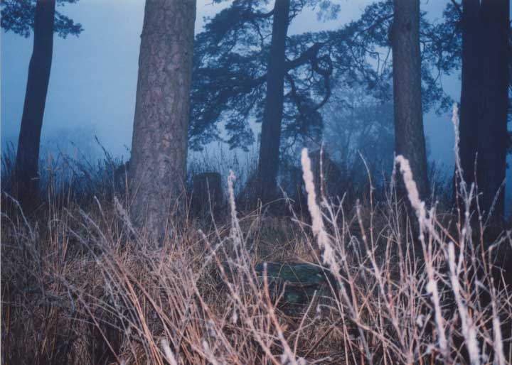
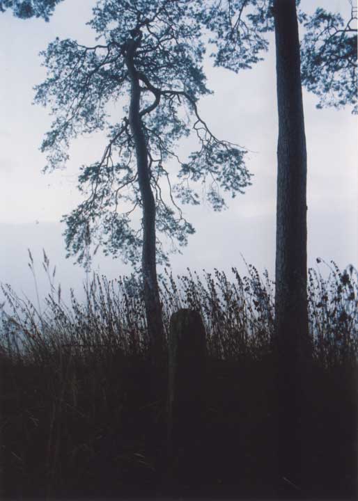
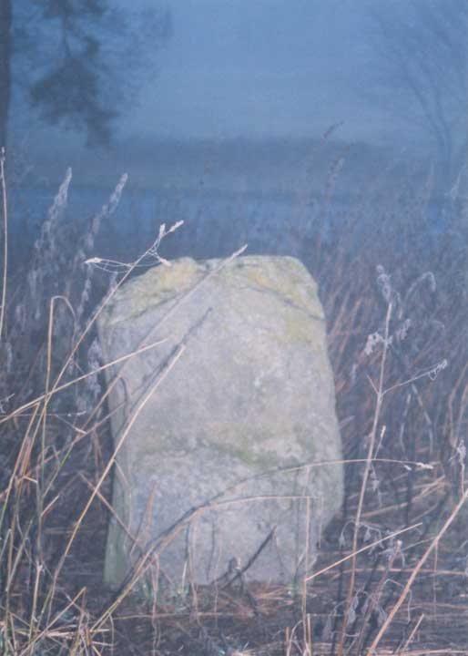
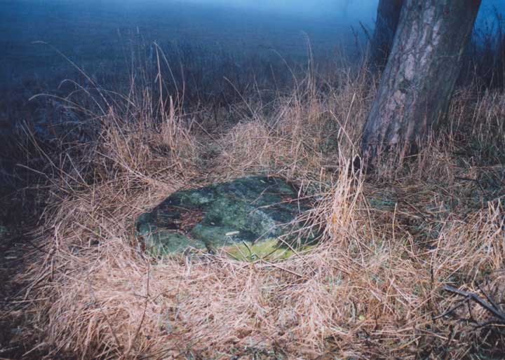
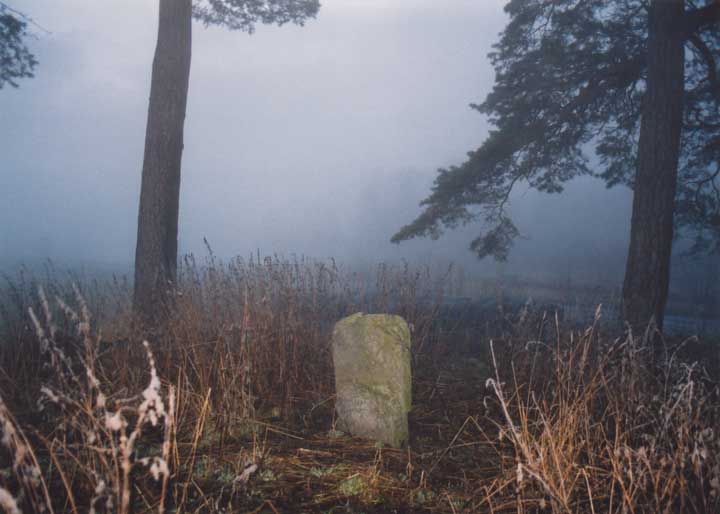
This barrow, topped with tall thin conifers, is very visible from the road. The barrow was excavated in 1964, and found to be the final stage in a series of monuments. At its heart were four cremations (dated to c.2860 BCE) in a rectangular stone enclosure, and two ramped stone or wooden post holes. The cremations and holes were inside a penannular ring-cairn, over which the turf and stone barrow were built. On top of the barrow is a standing stone, under which a fifth cremation was found (dated to c.2270 BCE). The perimeter of the barrow was originally bounded by a dry-stone kerb, but this has now been confused by ploughing and field clearance. On the south side of the barrow is a large square recumbent stone which isn't mentioned in the CANMORE report, and so may also be field clearance. This post appears as part of the weblog entry What time do you call this?!
|
 Posted by BigSweetie
22nd November 2003ce |
|
Thursday 1 May 2003 The 'tumulus' of Pitnacree is described in the 'big papery' version of TMA with no pics, and is lumped in with Lundin Farm. No photos here yet - I'll have to get a scanner…. I'm not big on barrows, but it's a fairly small rounded mound with fairly tall thin trees and a standing stone on top of it. (What a professional sounding description that one is….) Or perhaps CANMORE does it better… http://www.rcahms.gov.uk/canmore/details_gis?inumlink=26384 This post appears as part of the weblog entry Callanish via Perthshire with surprise guest stones - Part 3
|
7th August 2003ce Edited 19th November 2003ce |
Miscellaneous |
|
|
Directions - head N on the A9 from Perth, turning off onto the A827 for Aberfeldy at the Ballinluig junction. After approximately 5km you should see the barrow on your left at the edge of a field - it's quite hard to miss. There's a gate next to it giving access to the field, and there's space to park in here on a muddy area before the field proper. If it looks too muddy to get out again, continue on another 10m or so around the corner, and there is another gate with space for one car on the tarmac in front of it (just before you go onto the bridge). This post appears as part of the weblog entry What time do you call this?!
|
Posted by BigSweetie 22nd November 2003ce |