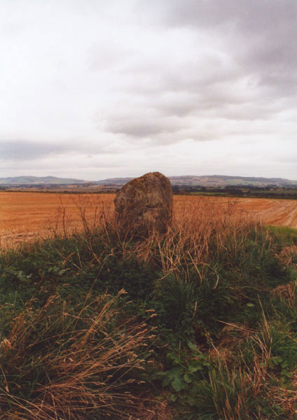
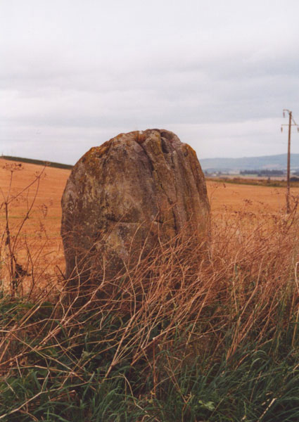
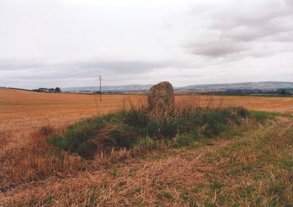
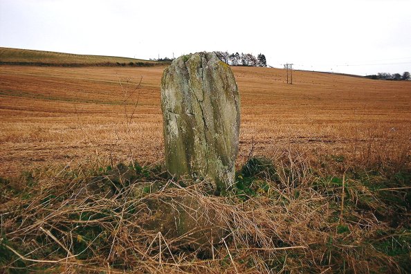
This single standing stone sits on a slight mound towards the NW corner of a field off the A926. Standing 1.6m tall, it swells slightly around its middle, where it is wider than at it's base or top. Around its base is piled field clearance, and it has obviously been scraped by farm machinery at some point. Although a largely unremarkable stone, it's a nice site, with a good view to the south, over Strathmore, towards the King's Seat and the distant Sidlaws.
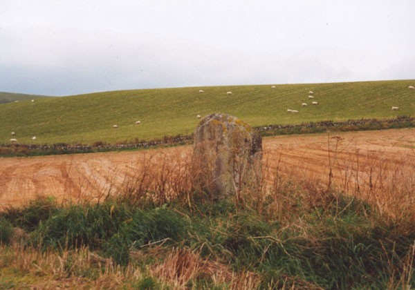
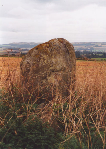
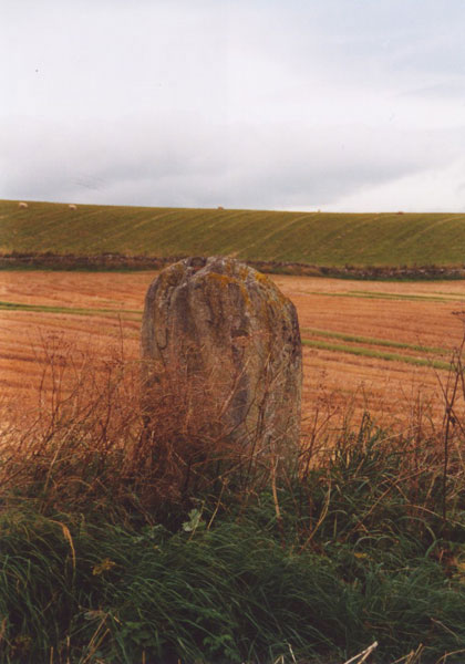
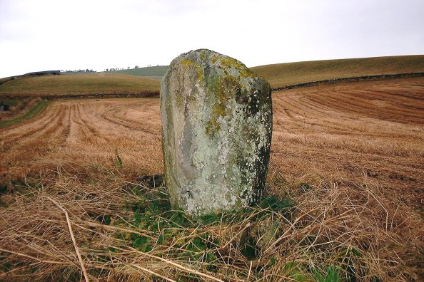
This one lies just of the A926, a busy little road and it can be awkward parking nearby. The stone's about 5-1/2 feet tall, and flares out a bit near the top - rather like the Bonhard stone, I think. A bit of field clearance built up round it, and a few scrape marks from farm machinery. No significant markings, though.
Directions - From the centre of Perth, head E across the river, and join the A93 heading N. You will drive through Guildtown, pass the famous Meikleour beech hedge, and the cursus called the Cleaven Dyke before reaching Blairgowrie. Continue on the road that you are on, and it will take you into the centre of town. You will see a triangular grassy area on your right as you approach some traffic lights. Go into the left lane, which will take you left over the River Ericht. The road climbs, and you will pass on your left a turn-off for Glenshee and Braemar. Instead, stay on the road that you are on (now the A926) and leave Blairgowrie to the E. Drumend is approximately 2.0km from the bridge over the Ericht. It is in a field on the left, close to the left-hand (W) boundary, about 150m up the field, but can be quite difficult to see from the road. This is a fast and narrow road, with few places to park. I would suggest either parking on the edge of Blairgowrie and walking the 1.0km or so to the stone, or looking for a farm drive that you can pull into without blocking.

 Posted by BigSweetie
 Posted by nickbrand