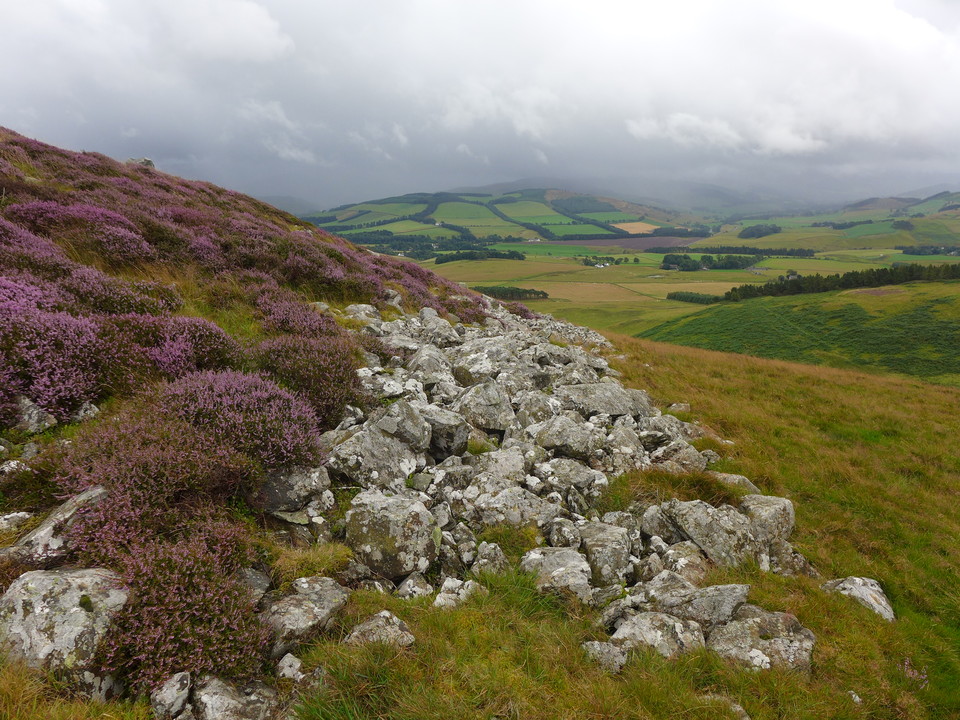
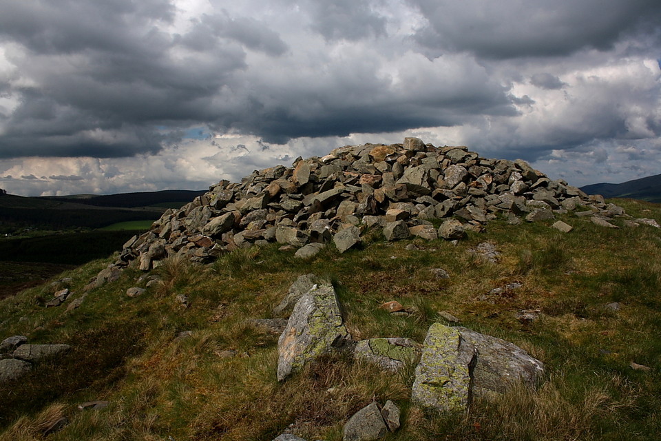
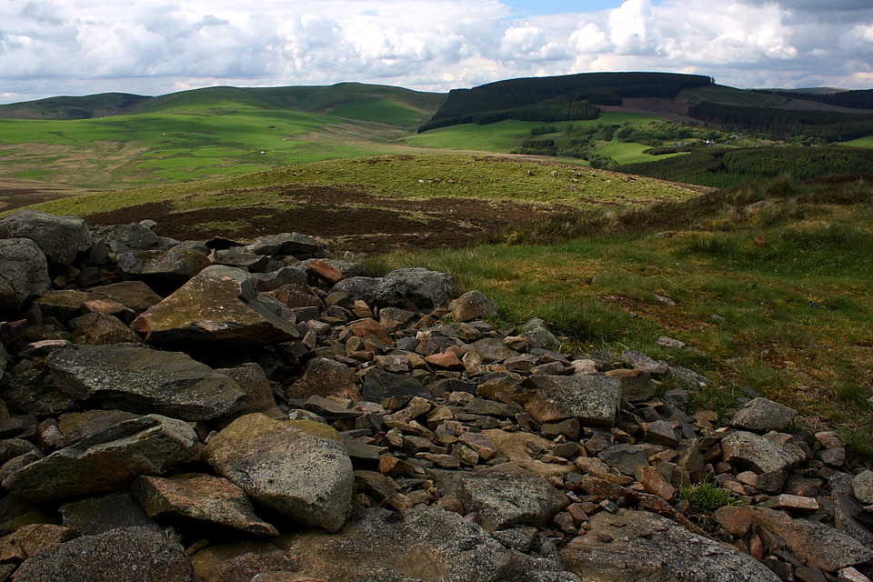
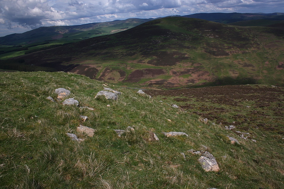
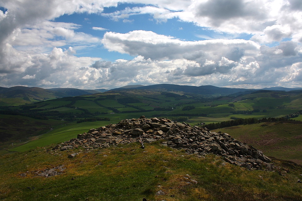
11/08/2014 - I visited White Meldon a few years back and had been wanting to get back to have a look at Black Meldon fort since. Started from the road that runs between the Meldons. Short but steepish climb to the top. Nice stones of the wall remain and a cairn (old?) on top. Well worth a visit. Weather today was pretty wild on top with the wind and rain.
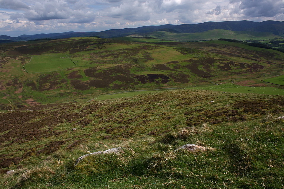
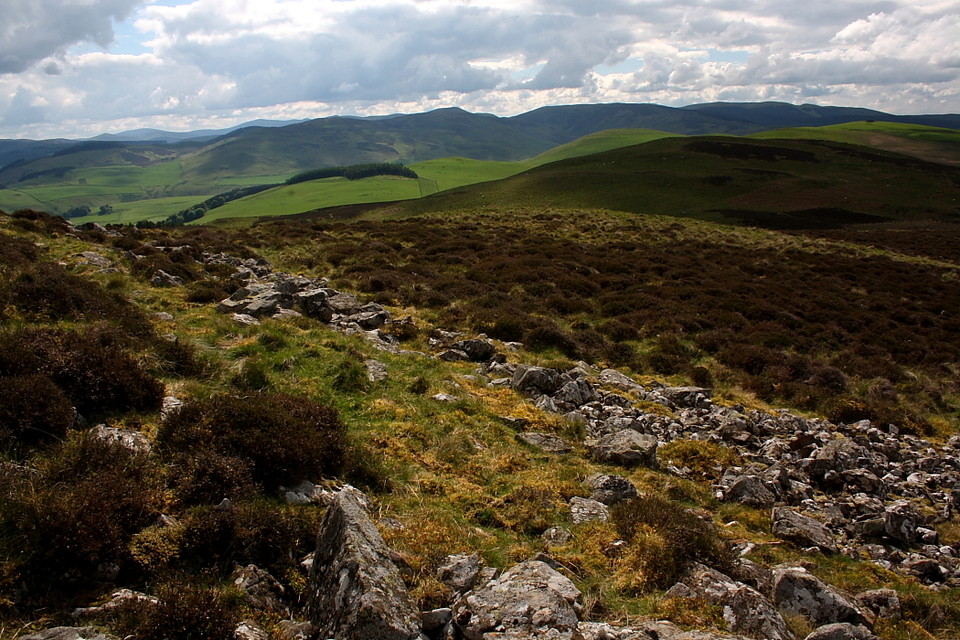
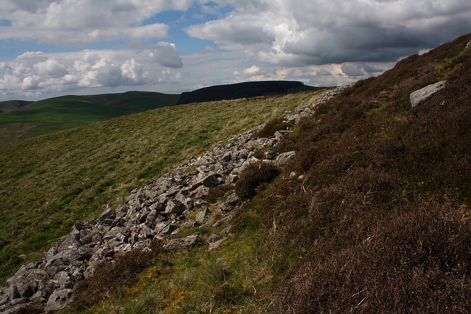
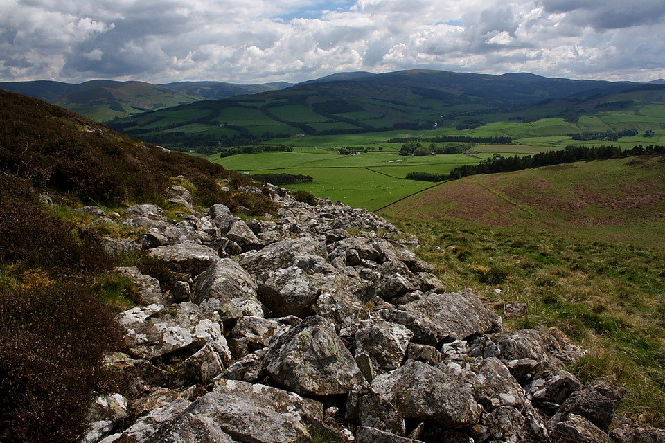
Best approach from the north-west side. There are a number of spots to park a car on the road in the glen, but the one by the disused mineworkings is easiest. The ground is dense heather, so not easily accessible to those with mobility issues. The fortlet wall is clearly a discernible oval, about 20m on its longest axis. I was confused that I couldn't work out where the entrance had been. Excellent views all round, particularly to the south, where ancient field patterns and drove roads are clearly visible.
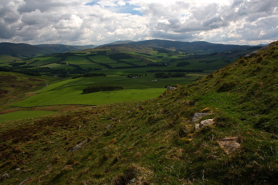
Lyne Farm to the south of the hill is in the middle of a medium sized roman camp, and in a burn nearby Iron Age burials of an early christian nature were found. It's also a decent place to stay self-catering if you want to spend a few days exploring the the upper end of the Tweed.

 Posted by thelonious
 Posted by Hob