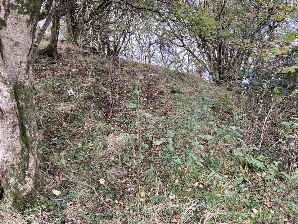
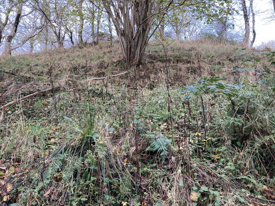
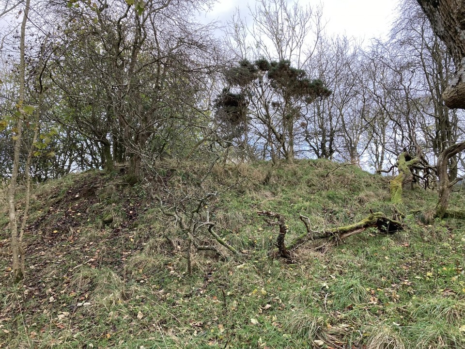
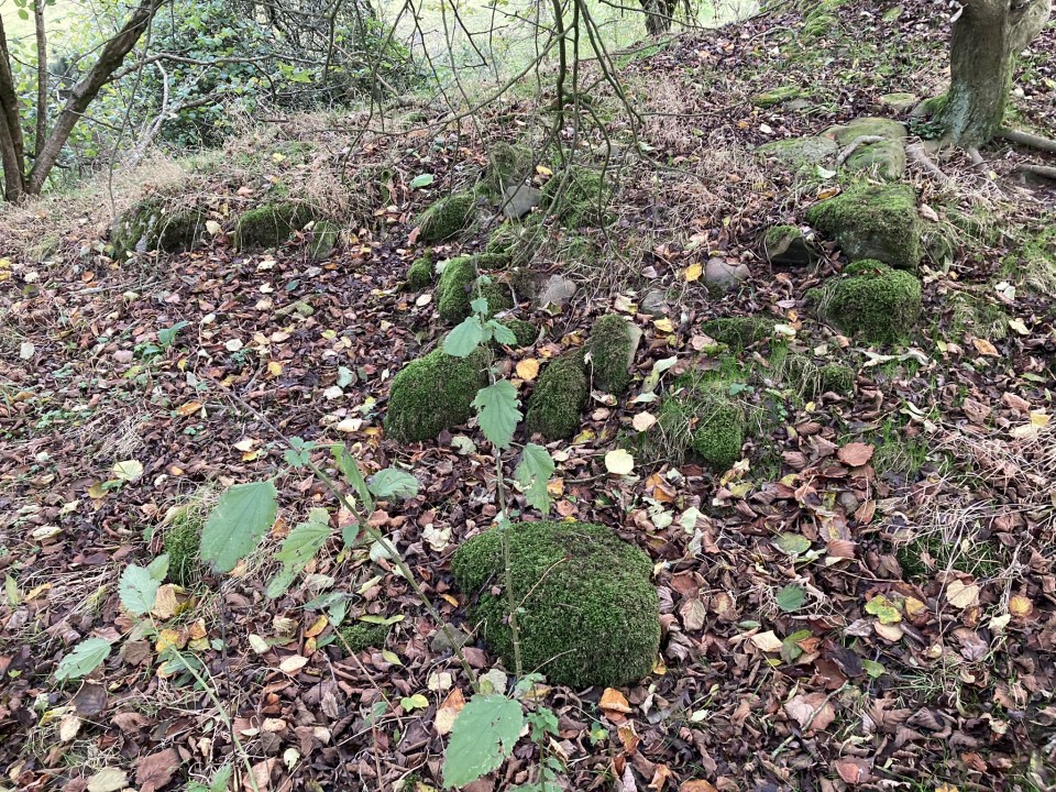
Balchriston Dun is built on a natural knoll in Rancleugh Wood c. 2 miles WNW of Maybole in South Ayrshire. The knoll is wedged between 2 burns on the N, S and W, with a natural gully on the E flank. The dun is defended by steep slopes on the S & W flanks. The N and E flanks are less severe, measuring up to c. 20 feet high. The summit of Balchriston Dun is a hollow enclosure measuring c. 12 yards in diameter with a surrounding bank up to c. 4 feet high. The W Arc of the bank has exposed stones on the surface. There are remains of a stone structure on the N Arc. Canmore ID 40957 (go to Links) speculates that this may have been a gatehouse guarding an entrance. A ring of scrubby trees has occupied the summit.
Directions to Balchriston Dun: Take the B7023 turn off the A77 on a roundabout on the W edge of Maybole. After 1.4 miles you reach the B7023/A719 junction. Continue straight on for c. 0.4 miles to reach Balchriston gatehouse on the right. Turn right down this narrow road, stay on it for 0.6 miles to reach a rough lay-by on the right, opposite a gateway at NS 25482 11177. My walking route can be seen on Balchriston Dun (go to Links).