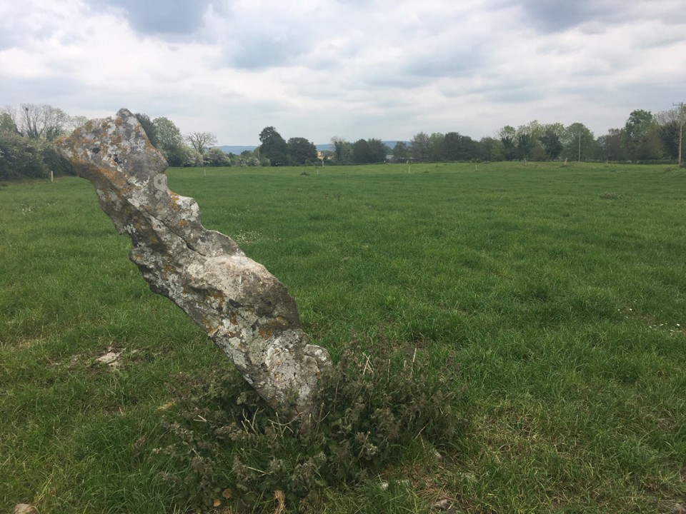
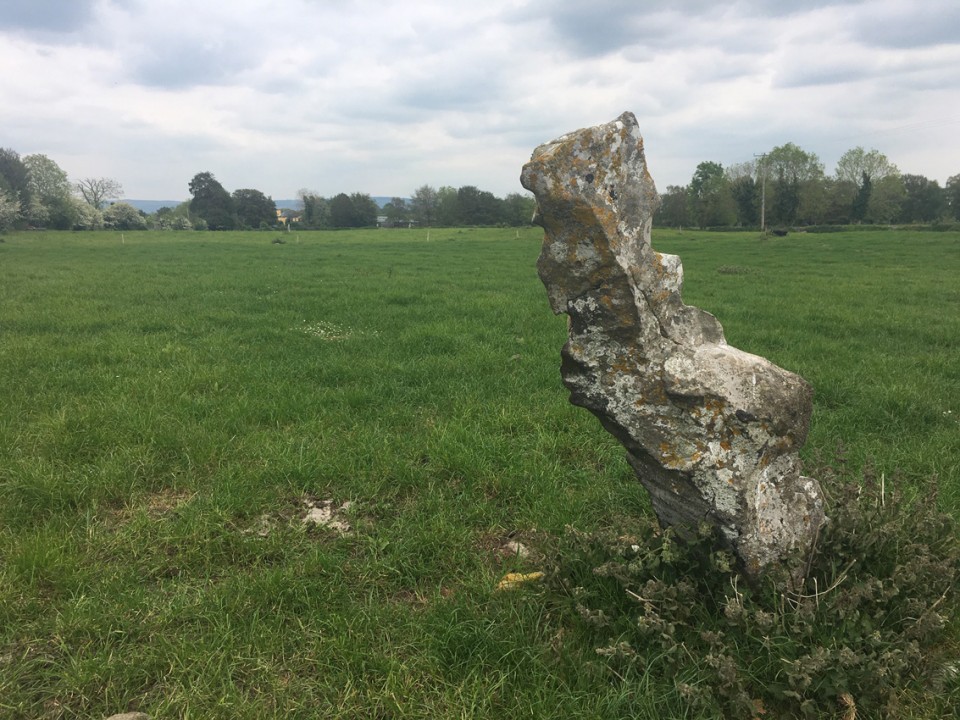
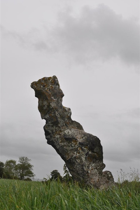
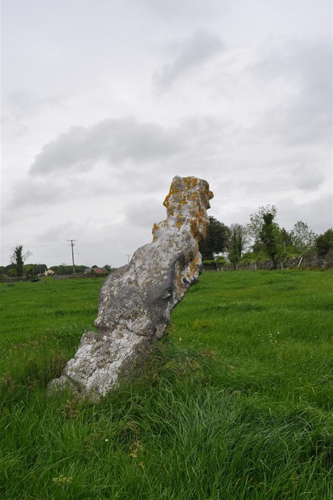
Log in
|
Register
Home
Latest Posts
Forums
Maps
Help
Browse Sites
News
Blog
Contributors
The Books
Select
-
Belgium
Denmark
Eire
France
Greece
Italy
The Netherlands
Norway
Portugal
Republic of Malta
Spain
Sweden
Switzerland
United Kingdom
County Clare
Knappogue N
Standing Stone / Menhir
Knappogue N (Standing Stone / Menhir) on The Modern Antiquarian, the UK & Ireland's most popular megalithic community website. 2 images, 1 fieldnote, plus information on many more ancient sites nearby and across the UK & Ireland.
Image © Charles Coughlan
OS Ref (IE):
Latitude:
52° 47' 46.25" N
Longitude:
8° 49' 48.76" W
Added by
bogman
Images (2)
Fieldnotes (1)
0 discussions
Start a topic
Show |
Hide
Web searches for Knappogue N
Flash Earth
Flickr
Google
Google Images
Bing
Stone Pages
Wikipedia
Show map
(inline Google Map)
- Sites within 20 km -
-
Knappogue (0.31km E) (6 posts)
Craggaunowen (2.68km ENE) (3 posts)
Craggaunowen (2.87km NE) (5 posts)
Craggaunowen (2.93km NE) (3 posts)
Mooghaun (3.49km WSW) (7 posts)
Ballyhickey (4.56km NW) (10 posts)
Magh Adhair (5km N) (4 posts)
Magh Adhair (5km N) (2 posts)
Milltown (8.36km NNE) (6 posts)
Newgrove (8.39km N) (6 posts)
Clooney (8.4km NNW) (7 posts)
Tyredagh Lower (10.28km N) (5 posts)
Tyredagh Lower (10.29km N) (0 posts)
Craughaun Cemetery (11.09km SE) (2 posts)
Knockshanvo (12.83km E) (5 posts)
Coolbaun (13.24km NE) (4 posts)
Rosslara (13.41km NE) (4 posts)
Violethill (13.58km ENE) (0 posts)
Formoyle More West (15.09km E) (7 posts)
Caherphuca (16.2km NW) (8 posts)
Moyree Commons (18.72km NW) (10 posts)
Altoir Ultach (19.41km NE) (1 post)
Tober Grania (19.46km NE) (0 posts)
Ardataggle (19.95km E) (0 posts)
- Add -
-
Add news
Add an image
Add fieldnotes
Add folklore
Add miscellaneous
Add a link
-
Add a site
Add a nearby facility
Add an alternative name/spelling
Images
(click to view fullsize)
Add an image
Fieldnotes
Add fieldnotes
This single stone is about 200m N/W from the nearby group of 3
Comments (0)
|
Add a comment
|
Permalink
Posted by
bogman
30th May 2011ce