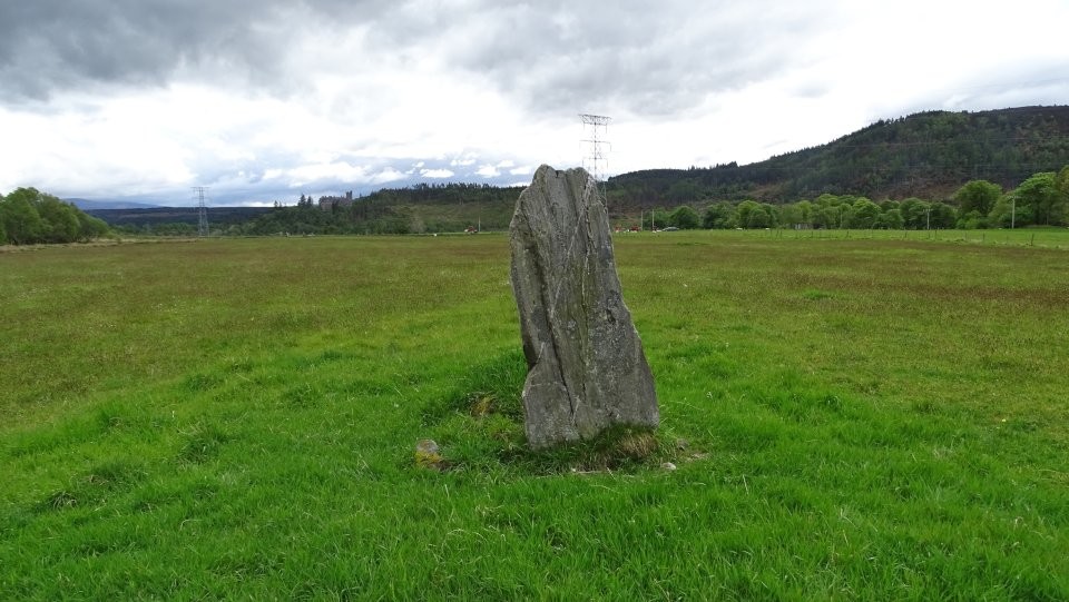
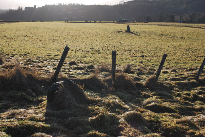
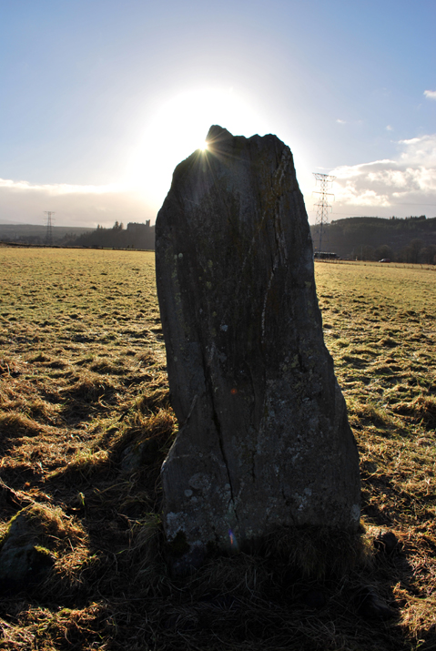
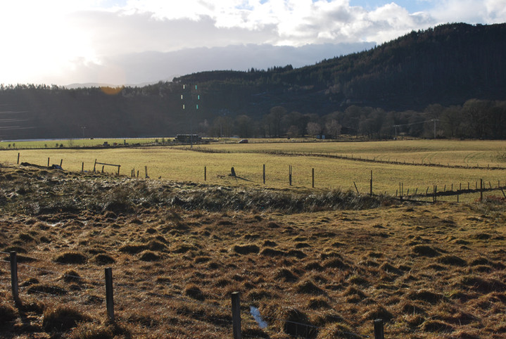
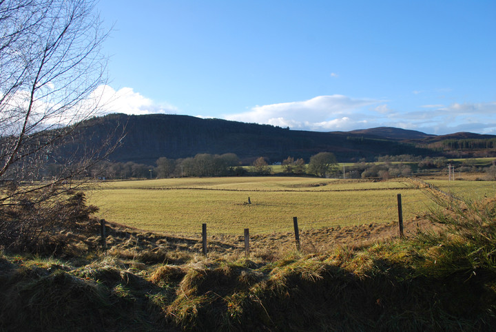
Invershin Farm stone is clearly visible from the A837, looking towards the river. I wonder how many people spot it as they drive North from Bonar Bridge to the locally famous tourist attraction, the Falls of Shin? If driving here, there are a few limited gateways to pull into to park, but perhaps to avoid blocking any farmers access it's best to use the rough lay-by outside the local burial ground, or the car park of the local village hall, both of which are only a minute or two's extra walk back along the road.
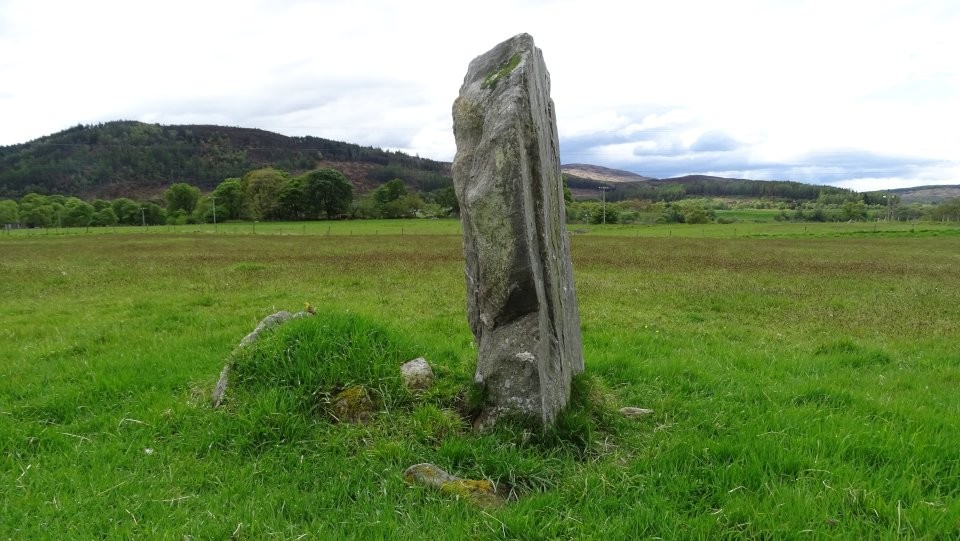
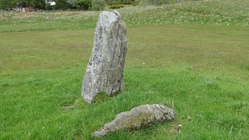
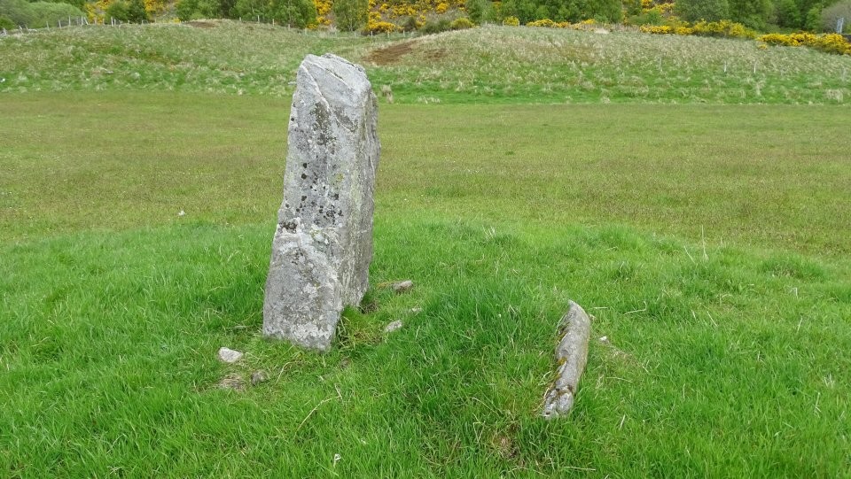
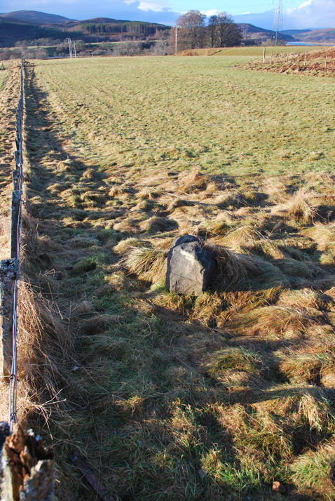
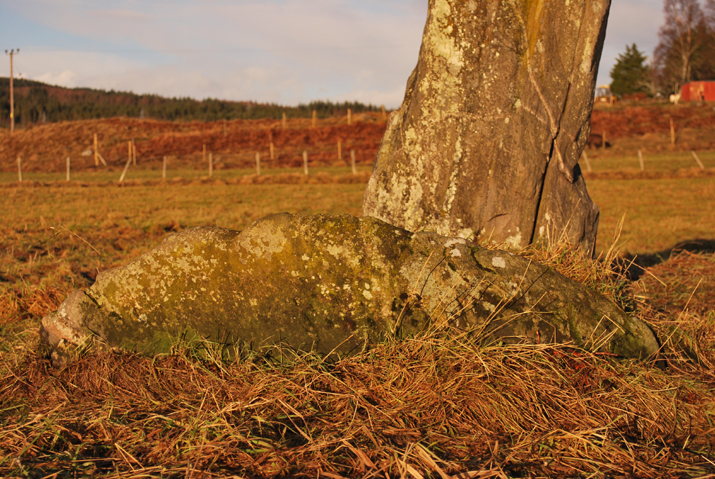
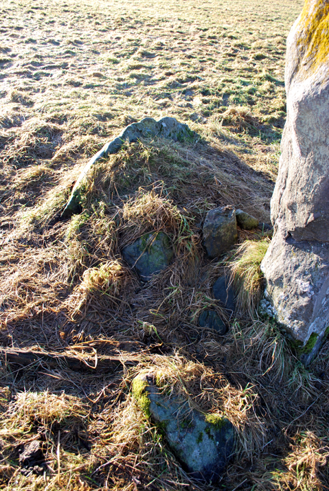
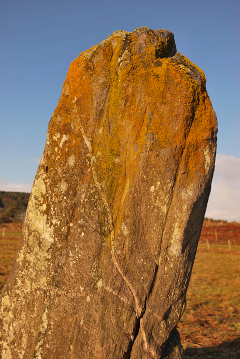
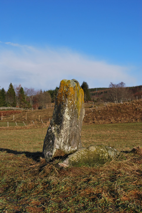
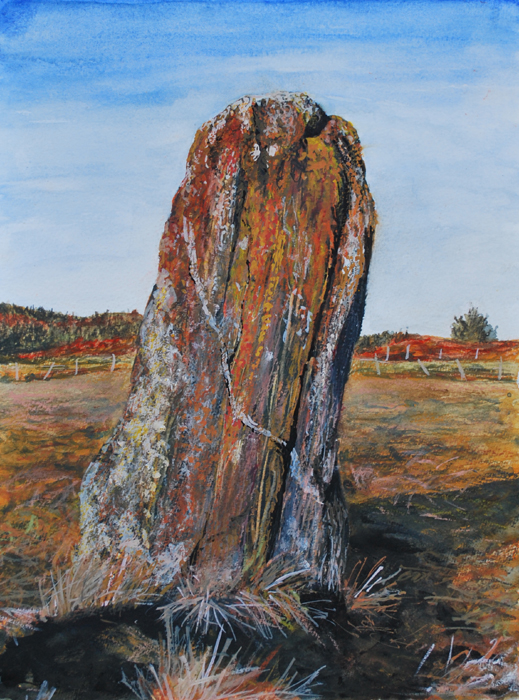
From the road the stone appears quite small, but up close it measures around 5'5". The stone features strong vertical striations, and a rather beautiful streak of quartz which is visible diagonally across both faces. It has a slight lean to the Eastern side. To the South is a low "hog backed stone" (as described by Canmore), and there are several other small rocks around the base. The ground was rather stubbly and 'lumpy' at the time of visiting, so it was hard to tell if there were further small rocks in the area. The general area is a low river valley, cupped by hills on three sides.
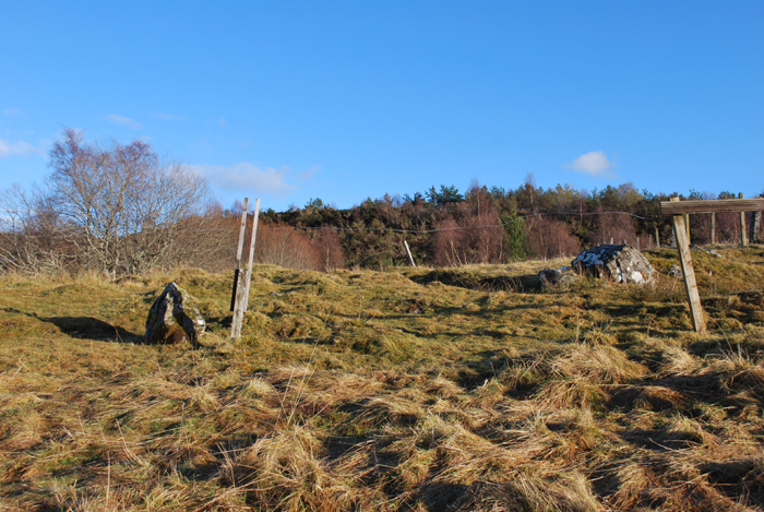
On walking back to the car a different route, across the fields, I noticed a small stone that just looked 'odd' for some reason, placed rather than natural - but could have been simply wishful thinking. It's not recorded anywhere so far as I can find. Have included photo's here for interest…

 Artistic / Interpretive:
 Posted by summerlands