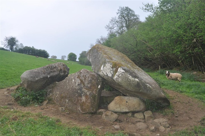
The collapsed capstone of this portal tomb is very substantial.
Image credit: ryaner
The collapsed capstone of this portal tomb is very substantial.

Twelve and a half years since I was last here.

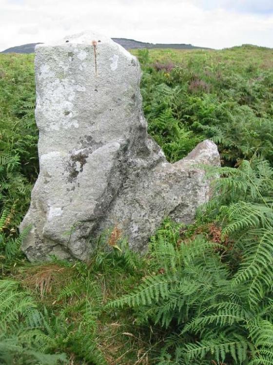
One of Carlow’s many great tombs.


Low light, late July, another Carlow portal tomb.

Late evening looking north-west over the NW-SE aligned tomb.
The landowner here is very proud of what he has on his land. There’s even a sign on the gate into the field announcing the presence of the Kilgraney Dolmen. The structure here is badly collapsed however. I struggled to identify any of the orthostats but I’m sure they have been plundered down through the years as there are distinct quarry marks on two of them. The babbling stream not 5 metres away from the monument is soothing. Access is downhill from the aforementioned farm gate and visitors are welcome.
Just a short note to say thank you to the farmer that I met at this monument. The man was almost apologetic for having disturbed me as I took photographs.
Very easy to find in July 06 as the field is now being used as pasture.